Estimated Value: $103,000 - $153,000
3
Beds
2
Baths
1,134
Sq Ft
$119/Sq Ft
Est. Value
About This Home
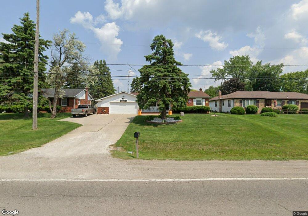
This home is located at 3294 W Court St, Flint, MI 48532 and is currently estimated at $135,018, approximately $119 per square foot. 3294 W Court St is a home with nearby schools including Carman-Ainsworth High School, St. Paul Lutheran School, and First Flint Seventh-day Adventist Christian School.
Ownership History
Date
Name
Owned For
Owner Type
Purchase Details
Closed on
Mar 29, 2023
Sold by
Cole Hazel R Le
Bought by
Cole Hazel R
Current Estimated Value
Purchase Details
Closed on
Jan 27, 2016
Sold by
Genesee County Land Bank Authority
Bought by
Cole Hazel R and Trevarthen Rose M
Purchase Details
Closed on
Nov 12, 2013
Sold by
The Genesee County Land Bank Authority
Bought by
Cole Hazel R and Trevarthen Rose M
Purchase Details
Closed on
Dec 20, 2012
Sold by
Cherry Deborah L
Bought by
Genesee County Land Bank
Create a Home Valuation Report for This Property
The Home Valuation Report is an in-depth analysis detailing your home's value as well as a comparison with similar homes in the area
Home Values in the Area
Average Home Value in this Area
Purchase History
| Date | Buyer | Sale Price | Title Company |
|---|---|---|---|
| Cole Hazel R | -- | -- | |
| Cole Hazel R | $8,500 | Attorney | |
| Cole Hazel R | $8,500 | None Available | |
| Genesee County Land Bank | -- | None Available |
Source: Public Records
Mortgage History
| Date | Status | Borrower | Loan Amount |
|---|---|---|---|
| Closed | Cole Hazel R | $0 |
Source: Public Records
Tax History Compared to Growth
Tax History
| Year | Tax Paid | Tax Assessment Tax Assessment Total Assessment is a certain percentage of the fair market value that is determined by local assessors to be the total taxable value of land and additions on the property. | Land | Improvement |
|---|---|---|---|---|
| 2025 | $1,357 | $63,800 | $0 | $0 |
| 2024 | $666 | $56,300 | $0 | $0 |
| 2023 | $635 | $49,300 | $0 | $0 |
| 2022 | $618 | $38,000 | $0 | $0 |
| 2021 | $1,196 | $35,700 | $0 | $0 |
| 2020 | $571 | $33,700 | $0 | $0 |
| 2019 | $563 | $30,000 | $0 | $0 |
| 2018 | $1,114 | $27,900 | $0 | $0 |
| 2017 | $1,072 | $27,900 | $0 | $0 |
| 2016 | $1,102 | $27,000 | $0 | $0 |
| 2015 | $945 | $24,500 | $0 | $0 |
| 2014 | $561 | $23,500 | $0 | $0 |
| 2012 | -- | $24,500 | $24,500 | $0 |
Source: Public Records
Map
Nearby Homes
- 3320 Timberview St
- 3477 Ridgecliffe Dr
- 3493 Ridgecliffe Dr
- 3288 Tall Oaks Ct
- 3631 Ridgecliffe Dr
- 874 Tacken St
- 870 Tacken St
- 866 Tacken St
- 3522 Ridgecliffe Dr
- 959 Tacken St
- 863 Tacken St
- 3921 Joyner St
- 3821 W Court St
- 1112 Lask Dr
- 960 Salisbury Ave
- 1396 S Graham Rd
- 3277 Whitney Ave
- 1540 Pound Dr
- 3309 Beecher Rd
- 1260 Gilbert St
- 3286 W Court St
- 3302 W Court St
- 3293 Ridgecliffe Dr
- 3285 Ridgecliffe Dr
- 3310 W Court St
- 3301 Ridgecliffe Dr
- 1460 Ryan St
- 1452 Ryan St
- 3309 Ridgecliffe Dr
- 1444 Ryan St
- 1459 Foxboro Ln
- 1484 Ryan St
- 1445 Foxboro Ln
- 1445 Foxboro Ln
- 1427 Sentinel Ridge Dr
- 3300 Ridgecliffe Dr
- 3308 Ridgecliffe Dr
- 1428 Ryan St
- 1419 Sentinel Ridge Dr
- 1411 Sentinel Ridge Dr