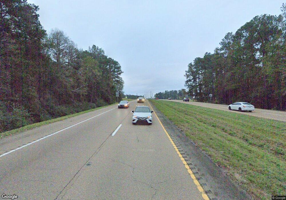
3295 Simpson Hwy 49 Mendenhall, MS 39114
Estimated Value: $236,738
3
Beds
4
Baths
6,290
Sq Ft
$38/Sq Ft
Est. Value
About This Home
This home is located at 3295 Simpson Hwy 49, Mendenhall, MS 39114 and is currently priced at $236,738, approximately $37 per square foot. 3295 Simpson Hwy 49 is a home located in Simpson County with nearby schools including Mendenhall Elementary School, Mendenhall Junior High School, and Mendenhall High School.
Ownership History
Date
Name
Owned For
Owner Type
Purchase Details
Closed on
Apr 11, 2019
Sold by
Masterman Raymond D
Bought by
Masterman-Goodman Meaghan
Current Estimated Value
Purchase Details
Closed on
Sep 24, 2012
Sold by
Lyons Don and Lyons Beverly
Bought by
Masterman Raymond Donald
Create a Home Valuation Report for This Property
The Home Valuation Report is an in-depth analysis detailing your home's value as well as a comparison with similar homes in the area
Home Values in the Area
Average Home Value in this Area
Purchase History
| Date | Buyer | Sale Price | Title Company |
|---|---|---|---|
| Masterman-Goodman Meaghan | -- | -- | |
| Masterman Raymond Donald | -- | -- |
Source: Public Records
Tax History Compared to Growth
Tax History
| Year | Tax Paid | Tax Assessment Tax Assessment Total Assessment is a certain percentage of the fair market value that is determined by local assessors to be the total taxable value of land and additions on the property. | Land | Improvement |
|---|---|---|---|---|
| 2024 | $4,681 | $32,535 | $0 | $0 |
| 2023 | $4,681 | $31,257 | $0 | $0 |
| 2022 | $4,386 | $31,257 | $0 | $0 |
| 2021 | $2,685 | $19,432 | $0 | $0 |
| 2020 | $2,492 | $18,035 | $0 | $0 |
| 2019 | $2,410 | $18,035 | $0 | $0 |
| 2018 | $2,410 | $18,035 | $0 | $0 |
| 2017 | $2,410 | $18,035 | $0 | $0 |
| 2016 | $2,295 | $17,701 | $0 | $0 |
| 2015 | $2,233 | $17,701 | $0 | $0 |
| 2014 | $2,233 | $17,701 | $0 | $0 |
Source: Public Records
Map
Nearby Homes
- 0 Hwy 49 Unit 4106771
- 163 Mississippi 540
- 0 0 U S 49
- 119 Ashwood Ln
- 306 E Court Ave
- 428 Simpson Cir
- 106 Edd Monk St
- 619 Pittman Dr
- 211 W Maud Ave
- 849 Athens Rd
- 0 Us 49 Unit 4120889
- 0 N East St
- 310 Polly Ave
- 707 N West St
- 602 Circle Dr
- 105 Ron Batton Dr
- 1002 Mark Dr
- 152 Dewitt Flynt Rd
- 143 Ashwood Ln
- 0 Mississippi 540
- 3295 Simpson Highway 49
- 0 0 Us Hwy
- 3290 Simpson Highway 49
- 3272 Simpson Highway 49
- 3304 Simpson Highway 49
- 115 Amoco Dr
- 290 Old Gravel 49
- 0 Hwy 49 Unit 296604
- 0 Hwy 49 Unit 308741
- 0 Hwy 49 Unit 195997
- 0 Hwy 49 Unit 1 247018
- 0 Hwy 49 Unit 3 247021
- 0 Hwy 49 Unit 2 247020
- 0 Hwy 49 Unit 1 287770
- 0 Hwy 49 Unit 2 287769
- 0 Hwy 49 Unit 3 287768
- 0 Hwy 49 Unit 336455
- 991 Hwy 43 South None
- 0 Simpson Hwy 149 Unit 328225
- 0 Simpson Hwy 149 Unit 319135
