32A Birchbrook Ln Levant, ME 04456
Estimated Value: $227,443 - $258,000
2
Beds
1
Bath
948
Sq Ft
$259/Sq Ft
Est. Value
About This Home
This home is located at 32A Birchbrook Ln, Levant, ME 04456 and is currently estimated at $245,111, approximately $258 per square foot. 32A Birchbrook Ln is a home located in Penobscot County with nearby schools including Suzanne M. Smith Elementary School and Caravel Middle School.
Ownership History
Date
Name
Owned For
Owner Type
Purchase Details
Closed on
Jun 19, 2018
Sold by
Clifford W Hatfield
Bought by
Marks Rickey
Current Estimated Value
Home Financials for this Owner
Home Financials are based on the most recent Mortgage that was taken out on this home.
Original Mortgage
$127,800
Outstanding Balance
$110,822
Interest Rate
4.62%
Estimated Equity
$134,289
Purchase Details
Closed on
Nov 4, 2008
Sold by
Keith John C
Bought by
Gray Karen M
Home Financials for this Owner
Home Financials are based on the most recent Mortgage that was taken out on this home.
Original Mortgage
$110,300
Interest Rate
5.83%
Mortgage Type
Unknown
Create a Home Valuation Report for This Property
The Home Valuation Report is an in-depth analysis detailing your home's value as well as a comparison with similar homes in the area
Home Values in the Area
Average Home Value in this Area
Purchase History
| Date | Buyer | Sale Price | Title Company |
|---|---|---|---|
| Marks Rickey | -- | -- | |
| Gray Karen M | -- | -- |
Source: Public Records
Mortgage History
| Date | Status | Borrower | Loan Amount |
|---|---|---|---|
| Open | Gray Karen M | $127,800 | |
| Closed | Gray Karen M | -- | |
| Previous Owner | Gray Karen M | $112,000 | |
| Previous Owner | Gray Karen M | $110,300 |
Source: Public Records
Tax History Compared to Growth
Tax History
| Year | Tax Paid | Tax Assessment Tax Assessment Total Assessment is a certain percentage of the fair market value that is determined by local assessors to be the total taxable value of land and additions on the property. | Land | Improvement |
|---|---|---|---|---|
| 2024 | $1,927 | $175,200 | $42,000 | $133,200 |
| 2023 | $1,914 | $162,900 | $42,000 | $120,900 |
| 2022 | $1,969 | $112,500 | $33,000 | $79,500 |
| 2021 | $1,969 | $112,500 | $33,000 | $79,500 |
| 2020 | $1,969 | $112,500 | $33,000 | $79,500 |
| 2019 | $1,688 | $112,500 | $33,000 | $79,500 |
| 2018 | $1,588 | $113,400 | $33,000 | $80,400 |
| 2017 | $1,432 | $106,100 | $33,000 | $73,100 |
| 2016 | $1,326 | $106,100 | $33,000 | $73,100 |
| 2015 | $1,326 | $106,100 | $33,000 | $73,100 |
| 2014 | -- | $106,100 | $33,000 | $73,100 |
Source: Public Records
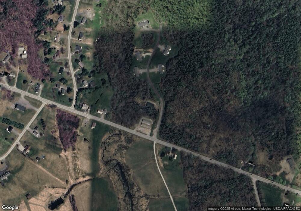
Map
Nearby Homes
- 35 Birchbrook Ln Unit 35A
- Lot 7-46-9 Clewley Rd
- 38 Island Farm Rd
- 9 Thibodeau Dr
- 163 Phillips Rd
- 46 Overfar Way
- 21 Madison Dr
- 21 Mapleleaf Ln
- 3036 Ohio St
- 58 Crogan Rd
- 2740 Ohio St
- 21 Maple Dr
- 70 Clark Rd
- 9A Clark Rd
- 308 Clark Rd
- Lot 81 Fuller Rd
- 357 Kelley Rd
- Lot 15 Hemlock Ridge Dr
- 3935 Union St
- 17 Brad Dr
- 3341 Union St
- 26B Birchbrook Ln
- 32B Birchbrook Ln Unit B
- 35B Birchbrook Ln Unit 35B
- 26A Birchbrook Ln Unit 26A
- 42B Birchbrook Ln Unit B
- 25A Birchbrook Ln Unit 25A
- 25A Birchbrook Rd Unit A
- 25 Birchbrook Ln Unit B
- 3334 Union St
- 3303 Union St
- 3359 Union St
- 42 Birchbrook Ln Unit B
- 3367 Union St
- 9 Black Stream Dr
- 15 Black Stream Dr
- 21 Black Stream Dr
- 8 Black Stream Dr
- 23 Black Stream Dr
- 16 Black Stream Dr