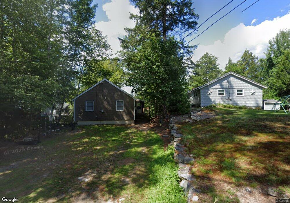
33 Arrowhead Point Rd Bristol, NH 03222
Estimated Value: $776,000 - $1,957,000
3
Beds
4
Baths
2,638
Sq Ft
$470/Sq Ft
Est. Value
About This Home
This home is located at 33 Arrowhead Point Rd, Bristol, NH 03222 and is currently estimated at $1,241,115, approximately $470 per square foot. 33 Arrowhead Point Rd is a home with nearby schools including Bristol Elementary School.
Ownership History
Date
Name
Owned For
Owner Type
Purchase Details
Closed on
Nov 25, 2013
Sold by
Latronico Kenneth A and Latronico Susan K
Bought by
K&S Arrohead Nt and Latronico Kenneth A
Current Estimated Value
Purchase Details
Closed on
Sep 26, 1997
Sold by
Dawes Claiborne W
Bought by
Latronico Kenneth A and Latronico Susan K
Home Financials for this Owner
Home Financials are based on the most recent Mortgage that was taken out on this home.
Original Mortgage
$208,000
Interest Rate
7.47%
Create a Home Valuation Report for This Property
The Home Valuation Report is an in-depth analysis detailing your home's value as well as a comparison with similar homes in the area
Home Values in the Area
Average Home Value in this Area
Purchase History
| Date | Buyer | Sale Price | Title Company |
|---|---|---|---|
| K&S Arrohead Nt | -- | -- | |
| Latronico Kenneth A | $260,000 | -- |
Source: Public Records
Mortgage History
| Date | Status | Borrower | Loan Amount |
|---|---|---|---|
| Previous Owner | Latronico Kenneth A | $197,000 | |
| Previous Owner | Latronico Kenneth A | $208,000 |
Source: Public Records
Tax History
| Year | Tax Paid | Tax Assessment Tax Assessment Total Assessment is a certain percentage of the fair market value that is determined by local assessors to be the total taxable value of land and additions on the property. | Land | Improvement |
|---|---|---|---|---|
| 2025 | $20,745 | $1,576,400 | $1,115,700 | $460,700 |
| 2024 | $19,042 | $806,200 | $550,700 | $255,500 |
| 2023 | $18,341 | $806,200 | $550,700 | $255,500 |
| 2022 | $16,922 | $806,200 | $550,700 | $255,500 |
| 2021 | $16,293 | $806,200 | $550,700 | $255,500 |
| 2020 | $17,429 | $842,400 | $586,900 | $255,500 |
| 2019 | $14,551 | $638,200 | $425,000 | $213,200 |
| 2018 | $13,913 | $638,200 | $425,000 | $213,200 |
| 2017 | $14,123 | $638,200 | $425,000 | $213,200 |
| 2016 | $13,160 | $638,200 | $425,000 | $213,200 |
| 2015 | $11,675 | $580,000 | $353,900 | $226,100 |
| 2014 | $11,675 | $580,000 | $353,900 | $226,100 |
| 2013 | $11,704 | $580,000 | $353,900 | $226,100 |
Source: Public Records
Map
Nearby Homes
- 60 Wellington Village Dr Unit 5
- 21 Village West Dr Unit 14
- 711 W Shore Rd
- 26 Don Gerry Rd
- 342 Whittemore Point Rd N
- 862 Mayhew Turnpike Unit 13
- 75 Lakewood Pines Rd Unit 20
- 35 Lakewood Pines Rd Unit 3
- 43 Elm St
- 94 Mandi Ln
- 00 Ledgewood Cir Unit 7
- 341 Perkins Hill Rd
- Lot 2 Panorama Ln
- 80 Patten Rd
- 0 High Cliffs Circle and Skyline Dr Unit 11,17,18,20,21,23
- 66 Summer St
- 60 Summer St
- 30 Beech St Unit 4C
- 30 Beech St Unit 2D
- 40 Beech St Unit A
- 39 Arrowhead Point Rd
- 25 Arrowhead Point Rd
- 321 Wulamat Rd
- 327 Wulamat Rd
- 19 Arrowhead Point Rd
- 47 Arrowhead Point Rd
- 333 Wulamat Rd
- 24 Arrowhead Point Rd
- 10 Arrowhead Point Rd
- 345 Wulamat Rd
- 11 Arrowhead Point Rd
- 55 Arrowhead Point Rd
- 311 Wulamat Rd
- 349 Wulamat Rd
- 63 Arrowhead Point Rd
- 309 Wulamat Rd
- 318 Wulamat Rd
- 307 Wulamat Rd
- 336 Wulamat Rd
- 71 Arrowhead Point Rd
Your Personal Tour Guide
Ask me questions while you tour the home.