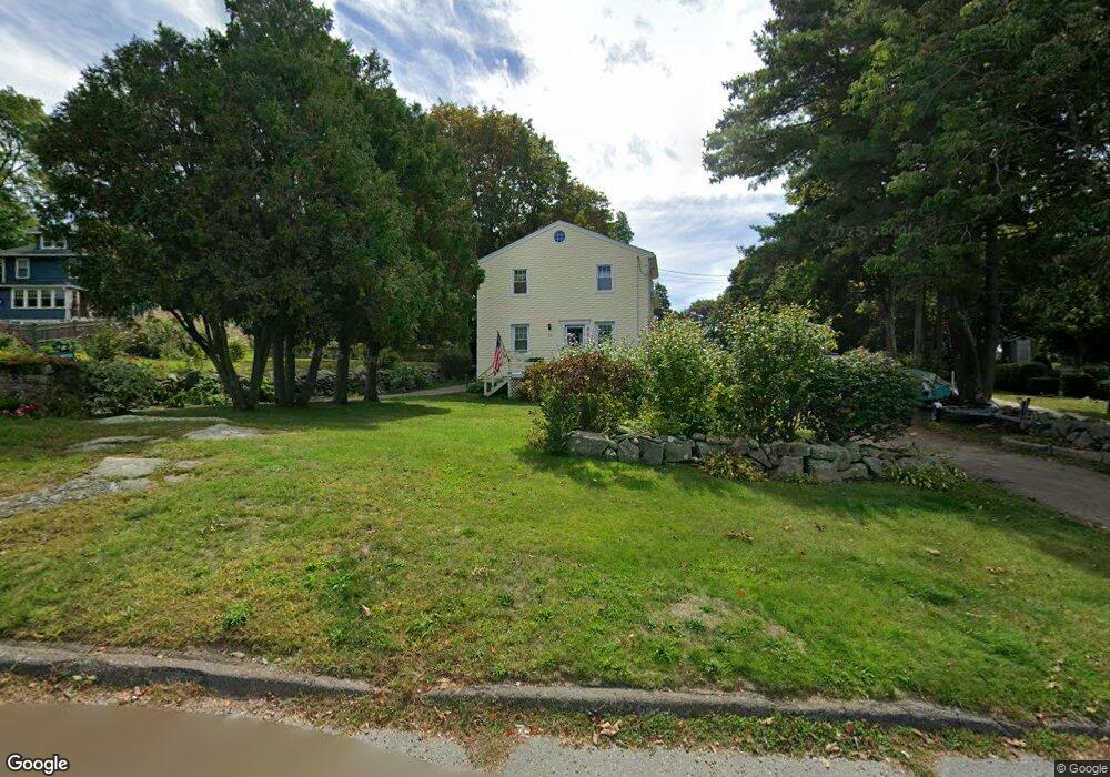
33 Gee Ave Gloucester, MA 01930
Estimated Value: $661,000 - $797,000
3
Beds
2
Baths
1,492
Sq Ft
$484/Sq Ft
Est. Value
About This Home
This home is located at 33 Gee Ave, Gloucester, MA 01930 and is currently estimated at $721,884, approximately $483 per square foot. 33 Gee Ave is a home located in Essex County with nearby schools including Beeman Memorial, Ralph B O'maley Middle School, and Gloucester High School.
Ownership History
Date
Name
Owned For
Owner Type
Purchase Details
Closed on
Oct 8, 2015
Sold by
Morse John R and Morse Cynthia L
Bought by
Hodgkins Alison L
Current Estimated Value
Home Financials for this Owner
Home Financials are based on the most recent Mortgage that was taken out on this home.
Original Mortgage
$312,000
Interest Rate
3.88%
Mortgage Type
New Conventional
Purchase Details
Closed on
Jul 23, 1993
Sold by
Gloucester Bk & Tr
Bought by
Morse John R and Morse Cynthia
Create a Home Valuation Report for This Property
The Home Valuation Report is an in-depth analysis detailing your home's value as well as a comparison with similar homes in the area
Purchase History
| Date | Buyer | Sale Price | Title Company |
|---|---|---|---|
| Hodgkins Alison L | $390,000 | -- | |
| Morse John R | $58,000 | -- |
Source: Public Records
Mortgage History
| Date | Status | Borrower | Loan Amount |
|---|---|---|---|
| Closed | Hodgkins Alison L | $312,000 | |
| Previous Owner | Morse John R | $115,500 | |
| Previous Owner | Morse John R | $102,000 |
Source: Public Records
Tax History
| Year | Tax Paid | Tax Assessment Tax Assessment Total Assessment is a certain percentage of the fair market value that is determined by local assessors to be the total taxable value of land and additions on the property. | Land | Improvement |
|---|---|---|---|---|
| 2025 | $5,845 | $601,300 | $222,200 | $379,100 |
| 2024 | $5,748 | $590,800 | $211,700 | $379,100 |
| 2023 | $5,507 | $520,000 | $188,900 | $331,100 |
| 2022 | $5,328 | $454,200 | $164,300 | $289,900 |
| 2021 | $5,141 | $413,300 | $149,400 | $263,900 |
| 2020 | $5,060 | $410,400 | $149,400 | $261,000 |
| 2019 | $4,829 | $380,500 | $149,400 | $231,100 |
| 2018 | $4,647 | $359,400 | $149,400 | $210,000 |
| 2017 | $4,566 | $346,200 | $142,300 | $203,900 |
| 2016 | $4,489 | $329,800 | $148,400 | $181,400 |
| 2015 | $4,312 | $315,900 | $148,400 | $167,500 |
Source: Public Records
Map
Nearby Homes
- 3 Deacon Farm Ln
- 2 Breezy Point Rd
- 672 Washington St
- 31 Echo Ave
- 13 Honeysuckle Rd
- 13 Mystic Ave
- 8 Mystic Ave
- 98 Maplewood Ave
- 226 Atlantic St
- 167 Atlantic St
- 178 Atlantic St
- 6 Monroe Ct
- 12 Arthur St
- 9 Cleveland Place
- 40 Sargent St
- 19 Trask St Unit 2
- 50 Warner St
- 113 Pleasant St
- 33 Maplewood Ave Unit 310
- 15 Mount Vernon St
Your Personal Tour Guide
Ask me questions while you tour the home.