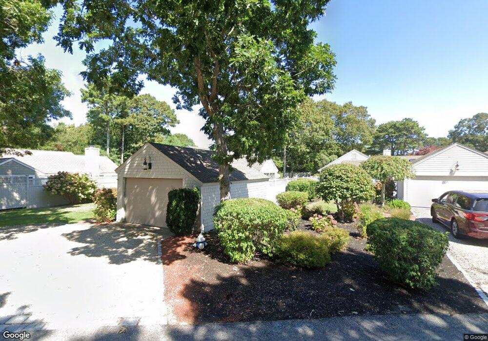
33 Mashie Cir Mashpee, MA 2649
New Seabury-Popponesset Island NeighborhoodEstimated Value: $812,000 - $962,000
2
Beds
2
Baths
1,418
Sq Ft
$619/Sq Ft
Est. Value
About This Home
This home is located at 33 Mashie Cir, Mashpee, MA 2649 and is currently estimated at $877,883, approximately $619 per square foot. 33 Mashie Cir is a home located in Barnstable County with nearby schools including Kenneth C. Coombs School, Quashnet School, and Mashpee Middle School.
Ownership History
Date
Name
Owned For
Owner Type
Purchase Details
Closed on
Mar 13, 2025
Sold by
Bonakdarpour Majid and Gheyssari Susan
Bought by
33 Mashie Cir Rt and Gheyssari
Current Estimated Value
Purchase Details
Closed on
Aug 30, 2000
Sold by
Lacey Marilyn and Lacey Timothy J
Bought by
Bonakdarpour Majid and Gheyssari Susan
Create a Home Valuation Report for This Property
The Home Valuation Report is an in-depth analysis detailing your home's value as well as a comparison with similar homes in the area
Home Values in the Area
Average Home Value in this Area
Purchase History
| Date | Buyer | Sale Price | Title Company |
|---|---|---|---|
| 33 Mashie Cir Rt | -- | None Available | |
| 33 Mashie Cir Rt | -- | None Available | |
| Bonakdarpour Majid | $275,000 | -- | |
| Bonakdarpour Majid | $275,000 | -- | |
| Bonakdarpour Majid | $275,000 | -- | |
| Bonakdarpour Majid | $275,000 | -- |
Source: Public Records
Mortgage History
| Date | Status | Borrower | Loan Amount |
|---|---|---|---|
| Previous Owner | Bonakdarpour Majid | $214,500 |
Source: Public Records
Tax History
| Year | Tax Paid | Tax Assessment Tax Assessment Total Assessment is a certain percentage of the fair market value that is determined by local assessors to be the total taxable value of land and additions on the property. | Land | Improvement |
|---|---|---|---|---|
| 2025 | $4,745 | $716,800 | $353,400 | $363,400 |
| 2024 | $4,293 | $667,600 | $321,300 | $346,300 |
| 2023 | $4,012 | $572,300 | $282,400 | $289,900 |
| 2022 | $3,842 | $470,300 | $229,600 | $240,700 |
| 2021 | $3,727 | $410,900 | $206,800 | $204,100 |
| 2020 | $3,755 | $413,100 | $215,500 | $197,600 |
| 2019 | $3,647 | $403,000 | $215,500 | $187,500 |
| 2018 | $3,414 | $382,700 | $215,500 | $167,200 |
| 2017 | $3,388 | $368,700 | $215,500 | $153,200 |
| 2016 | $3,332 | $360,600 | $215,500 | $145,100 |
| 2015 | $3,229 | $354,500 | $215,500 | $139,000 |
| 2014 | $3,284 | $349,700 | $212,200 | $137,500 |
Source: Public Records
Map
Nearby Homes
- 51 Fairway Ln
- 16 Quinns Way
- 22 Mid Iron Way Unit 7511
- 100 Mid-Iron Way Unit 7027
- 5 Tide Run
- 51 Walton Heath Way
- 97 Walton Heath Way
- 50 Topping Lift
- 5 Coastline Dr
- 36 Troon Way
- 79 Neshobe Rd
- 31 Marway
- 42 Fells Pond Rd
- 46 Greensward Cir
- 40 Triton Way
- 213 Fells Pond Rd
- 25 Milestone Way Unit 25
- 25 Milestone Way
- 15 Brant Rock Rd Unit 765
- 197 Monomoscoy Rd
- 455 Mashie Cir
- 35 Mashie Cir
- 456 Mashie Cir
- 454 Mashie Cir
- 31 Mashie Cir
- 54 Brassie Way
- 428 Brassie Way
- 429 Brassie Way
- 56 Brassie Way
- 50 Brassie Way
- 453 Mashie Cir
- 427 Brassie Way
- 46 Brassie Way
- 29 Mashie Cir
- 430 Brassie Way
- 42 Brassie Way
- 431 Brassie Way
- 28 Mashie Cir
- 493 Mashie Cir
- 458 Mashie Cir
Your Personal Tour Guide
Ask me questions while you tour the home.