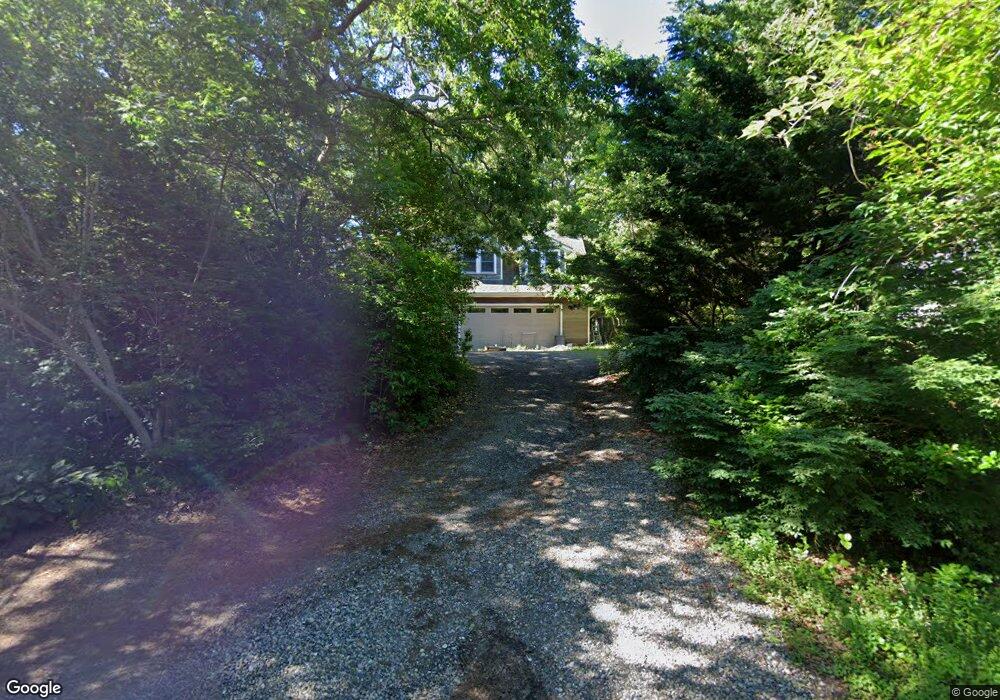
33 Moco Rd West Barnstable, MA 02668
West Barnstable NeighborhoodEstimated Value: $729,000 - $869,000
4
Beds
2
Baths
1,940
Sq Ft
$406/Sq Ft
Est. Value
About This Home
This home is located at 33 Moco Rd, West Barnstable, MA 02668 and is currently estimated at $787,473, approximately $405 per square foot. 33 Moco Rd is a home located in Barnstable County with nearby schools including West Barnstable Elementary School, Barnstable United Elementary School, and Barnstable Intermediate School.
Ownership History
Date
Name
Owned For
Owner Type
Purchase Details
Closed on
Jul 31, 2020
Sold by
Antos Brian C and Antos Jill A
Bought by
Antos Jill A
Current Estimated Value
Purchase Details
Closed on
Oct 17, 2005
Sold by
Morse Michael S and Webb Nancy E
Bought by
Antos Brian C and Antos Jill A
Home Financials for this Owner
Home Financials are based on the most recent Mortgage that was taken out on this home.
Original Mortgage
$356,000
Interest Rate
5.78%
Mortgage Type
Purchase Money Mortgage
Purchase Details
Closed on
Oct 31, 2000
Sold by
Stone Scott E and Stone Suzanne B
Bought by
Morse Michael S and Webb Nancy E
Purchase Details
Closed on
May 29, 1998
Sold by
Aiello Stephen E and Aiello Laurel E
Bought by
Stone Scott E and Stone Suzanne B
Create a Home Valuation Report for This Property
The Home Valuation Report is an in-depth analysis detailing your home's value as well as a comparison with similar homes in the area
Home Values in the Area
Average Home Value in this Area
Purchase History
| Date | Buyer | Sale Price | Title Company |
|---|---|---|---|
| Antos Jill A | -- | None Available | |
| Antos Brian C | $445,000 | -- | |
| Morse Michael S | $267,000 | -- | |
| Stone Scott E | $185,000 | -- |
Source: Public Records
Mortgage History
| Date | Status | Borrower | Loan Amount |
|---|---|---|---|
| Previous Owner | Antos Brian C | $356,000 | |
| Previous Owner | Stone Scott E | $246,000 | |
| Previous Owner | Stone Scott E | $250,000 | |
| Previous Owner | Stone Scott E | $251,300 |
Source: Public Records
Tax History
| Year | Tax Paid | Tax Assessment Tax Assessment Total Assessment is a certain percentage of the fair market value that is determined by local assessors to be the total taxable value of land and additions on the property. | Land | Improvement |
|---|---|---|---|---|
| 2025 | $7,414 | $793,800 | $239,200 | $554,600 |
| 2024 | $6,588 | $767,800 | $239,200 | $528,600 |
| 2023 | $6,163 | $676,500 | $217,500 | $459,000 |
| 2022 | $5,944 | $535,000 | $149,600 | $385,400 |
| 2021 | $5,976 | $509,900 | $151,900 | $358,000 |
| 2020 | $5,648 | $466,000 | $151,900 | $314,100 |
| 2019 | $5,853 | $476,600 | $161,100 | $315,500 |
| 2018 | $5,801 | $468,200 | $187,700 | $280,500 |
| 2017 | $5,654 | $461,900 | $187,700 | $274,200 |
| 2016 | $5,481 | $457,100 | $182,900 | $274,200 |
| 2015 | $5,433 | $454,300 | $185,900 | $268,400 |
Source: Public Records
Map
Nearby Homes
- 350 Plum St
- 367 Plum St
- 324 Patriot Way
- 34 Black Duck Ln
- 282 Parker Rd
- 66 Tern Ln
- 29 Appaloosa Way
- 16 Morgan Way
- 73 Tern Ln
- 52 Windlass Ln
- 74 Saddler Ln
- 900 Old Stage Rd
- 357 Lakeside Dr W
- 27 White Cap Ln
- 2656 Main St
- 11 Shepherds Way
- 481 Lakeside Dr W
- 87 Foxglove Rd
- 97 Yacht Club Rd
- 157 Scudder's Ln
Your Personal Tour Guide
Ask me questions while you tour the home.