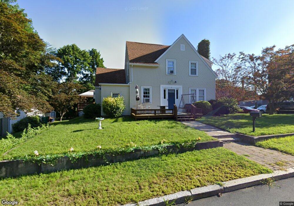
33 Saint Francis St Woonsocket, RI 02895
Bernon District NeighborhoodEstimated Value: $361,000 - $389,382
3
Beds
2
Baths
1,300
Sq Ft
$293/Sq Ft
Est. Value
About This Home
This home is located at 33 Saint Francis St, Woonsocket, RI 02895 and is currently estimated at $380,596, approximately $292 per square foot. 33 Saint Francis St is a home located in Providence County with nearby schools including Woonsocket High School, Founders Academy, and Beacon Charter School.
Ownership History
Date
Name
Owned For
Owner Type
Purchase Details
Closed on
Aug 17, 2018
Sold by
Binette Armand E and Binette Denise S
Bought by
Binette Ft and Binette
Current Estimated Value
Purchase Details
Closed on
May 29, 1987
Bought by
Binette Armand E and Binette Denise S
Create a Home Valuation Report for This Property
The Home Valuation Report is an in-depth analysis detailing your home's value as well as a comparison with similar homes in the area
Home Values in the Area
Average Home Value in this Area
Purchase History
| Date | Buyer | Sale Price | Title Company |
|---|---|---|---|
| Binette Ft | -- | -- | |
| Binette Armand E | -- | -- | |
| Binette Ft | -- | -- |
Source: Public Records
Mortgage History
| Date | Status | Borrower | Loan Amount |
|---|---|---|---|
| Previous Owner | Binette Armand E | $100,000 | |
| Previous Owner | Binette Armand E | $75,000 | |
| Previous Owner | Binette Armand E | $150,000 |
Source: Public Records
Tax History Compared to Growth
Tax History
| Year | Tax Paid | Tax Assessment Tax Assessment Total Assessment is a certain percentage of the fair market value that is determined by local assessors to be the total taxable value of land and additions on the property. | Land | Improvement |
|---|---|---|---|---|
| 2025 | $4,100 | $365,100 | $107,500 | $257,600 |
| 2024 | $4,051 | $278,600 | $95,300 | $183,300 |
| 2023 | $3,895 | $278,600 | $95,300 | $183,300 |
| 2022 | $3,895 | $278,600 | $95,300 | $183,300 |
| 2021 | $4,634 | $195,100 | $58,700 | $136,400 |
| 2020 | $4,682 | $195,100 | $58,700 | $136,400 |
| 2018 | $4,698 | $195,100 | $58,700 | $136,400 |
| 2017 | $4,882 | $162,200 | $46,900 | $115,300 |
| 2016 | $5,164 | $162,200 | $46,900 | $115,300 |
| 2015 | $5,915 | $161,700 | $46,900 | $114,800 |
| 2014 | $5,549 | $154,400 | $51,500 | $102,900 |
Source: Public Records
Map
Nearby Homes
- 216 Maple St
- 219 Crawford St
- 24 Paradis Ave
- 204 Welles St
- 17 Wilson Ave
- 25 Jillson Ave
- 74 Maple St
- 233 Grove St
- 199 Roberts St
- 304 Getchell Ave
- 222 Carrington Ave
- 15 Knight St
- 0 Irving Lot 206 Ave Unit 1397321
- 410 Carrington Ave
- 71 Hamlet Ave
- 0 Irving Lot 192 Ave Unit 1383138
- 0 Irving Lot 191 Ave Unit 1383135
- 35 Greene St
- 41 Verdun St
- 379 Front St
- 9 Saint Francis St
- 24 Saint Francis St
- 231 Maple St
- 0 St Francis St Unit 1085278
- 0 St Francis Street St Unit 1114615
- 38 Saint Francis St
- 295 Maple St
- 76 Division St
- 56 Division St
- 227 Maple St
- 227 Maple St Unit 227
- 227 Maple St Unit 1
- 225 Maple St
- 225 Maple St Unit 1
- 92 Division St
- 229 Maple St
- 229 Maple St Unit 3
- 311 Maple St
- 36 Division St
- 118 Division St