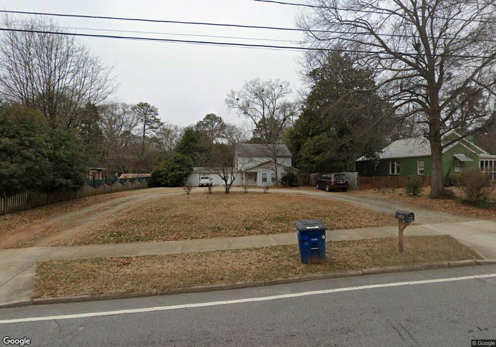
330 King Ave Athens, GA 30606
Normaltown NeighborhoodEstimated Value: $248,054 - $550,000
--
Bed
--
Bath
2,256
Sq Ft
$161/Sq Ft
Est. Value
About This Home
This home is located at 330 King Ave, Athens, GA 30606 and is currently estimated at $364,014, approximately $161 per square foot. 330 King Ave is a home located in Clarke County with nearby schools including Johnnie Lay Burks Elementary School, Clarke Middle School, and Clarke Central High School.
Ownership History
Date
Name
Owned For
Owner Type
Purchase Details
Closed on
Jun 5, 2025
Sold by
Bridges Larry T
Bought by
Bridges William C and Kinney Kathryn B
Current Estimated Value
Purchase Details
Closed on
May 6, 2025
Sold by
Bridges Family Trust Dated August 30 201
Bought by
Bridges Larry T and Bridges Ronald I
Purchase Details
Closed on
Aug 30, 2018
Sold by
Bridges Frances E
Bought by
Kinney Kathryn B and Bridges Family Trust
Purchase Details
Closed on
Jun 22, 2004
Sold by
Bridges William C
Bought by
Bridges Frances Echols
Create a Home Valuation Report for This Property
The Home Valuation Report is an in-depth analysis detailing your home's value as well as a comparison with similar homes in the area
Home Values in the Area
Average Home Value in this Area
Purchase History
| Date | Buyer | Sale Price | Title Company |
|---|---|---|---|
| Bridges William C | $250,000 | -- | |
| Bridges Larry T | -- | -- | |
| Kinney Kathryn B | $234,832 | -- | |
| Bridges Frances Echols | -- | -- |
Source: Public Records
Tax History Compared to Growth
Tax History
| Year | Tax Paid | Tax Assessment Tax Assessment Total Assessment is a certain percentage of the fair market value that is determined by local assessors to be the total taxable value of land and additions on the property. | Land | Improvement |
|---|---|---|---|---|
| 2025 | $5,823 | $187,524 | $44,000 | $143,524 |
| 2024 | $5,823 | $169,780 | $44,000 | $125,780 |
| 2023 | $5,306 | $149,155 | $40,000 | $109,155 |
| 2022 | $4,294 | $134,596 | $40,000 | $94,596 |
| 2021 | $4,038 | $119,825 | $40,000 | $79,825 |
| 2020 | $3,764 | $111,696 | $36,000 | $75,696 |
| 2019 | $3,314 | $97,603 | $32,000 | $65,603 |
| 2018 | $2,429 | $93,933 | $32,000 | $61,933 |
| 2017 | $2,362 | $89,116 | $32,000 | $57,116 |
| 2016 | $2,304 | $84,987 | $32,000 | $52,987 |
| 2015 | $2,248 | $80,987 | $28,000 | $52,987 |
| 2014 | $2,248 | $80,987 | $28,000 | $52,987 |
Source: Public Records
Map
Nearby Homes
- 283 King Ave
- 100 Crestview Cir
- 525 King Ave
- 1398 W Hancock Ave
- 215 Holman Ave
- 145 Sunset Dr
- 390 Best Dr
- 480 N Billups St
- 1198 W West Hancock Ave W
- 1196 W Hancock Ave Unit 1
- 552 Cobb St
- 410 Sunset Dr
- 1226 W Broad St
- 163 Easy St
- 105 Magnolia Terrace
- 492 Clover St
- 597 Dearing St
- 468 N Milledge Ave Unit 203
- 663 Oglethorpe Ave
- 500 Dearing St Unit 6