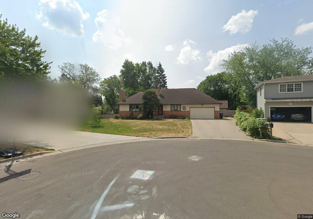
330 Maple Lane Ct Saint Paul, MN 55113
South Owasso NeighborhoodEstimated Value: $484,000 - $526,000
4
Beds
3
Baths
1,483
Sq Ft
$345/Sq Ft
Est. Value
About This Home
This home is located at 330 Maple Lane Ct, Saint Paul, MN 55113 and is currently estimated at $510,961, approximately $344 per square foot. 330 Maple Lane Ct is a home located in Ramsey County with nearby schools including Emmet D. Williams Elementary School, Roseville Area Middle School, and Roseville Area Senior High School.
Ownership History
Date
Name
Owned For
Owner Type
Purchase Details
Closed on
Oct 31, 2018
Sold by
Lindenau Carolyn M
Bought by
Tremewan Paul V and Michel Christa
Current Estimated Value
Home Financials for this Owner
Home Financials are based on the most recent Mortgage that was taken out on this home.
Original Mortgage
$316,200
Outstanding Balance
$277,466
Interest Rate
4.7%
Mortgage Type
New Conventional
Estimated Equity
$233,495
Purchase Details
Closed on
Jan 14, 2017
Sold by
Lindenau William L and Lindenau Carolyn M
Bought by
Lindenau Carolyn M
Create a Home Valuation Report for This Property
The Home Valuation Report is an in-depth analysis detailing your home's value as well as a comparison with similar homes in the area
Home Values in the Area
Average Home Value in this Area
Purchase History
| Date | Buyer | Sale Price | Title Company |
|---|---|---|---|
| Tremewan Paul V | $372,000 | Partners Title Llc | |
| Lindenau Carolyn M | -- | None Available |
Source: Public Records
Mortgage History
| Date | Status | Borrower | Loan Amount |
|---|---|---|---|
| Open | Tremewan Paul V | $316,200 |
Source: Public Records
Tax History Compared to Growth
Tax History
| Year | Tax Paid | Tax Assessment Tax Assessment Total Assessment is a certain percentage of the fair market value that is determined by local assessors to be the total taxable value of land and additions on the property. | Land | Improvement |
|---|---|---|---|---|
| 2025 | $6,576 | $509,300 | $105,000 | $404,300 |
| 2023 | $6,576 | $464,800 | $94,500 | $370,300 |
| 2022 | $6,332 | $470,800 | $94,500 | $376,300 |
| 2021 | $5,636 | $418,100 | $90,000 | $328,100 |
| 2020 | $5,456 | $398,500 | $80,000 | $318,500 |
| 2019 | $4,076 | $363,900 | $80,000 | $283,900 |
| 2018 | $3,880 | $272,200 | $87,400 | $184,800 |
| 2017 | $3,278 | $254,300 | $87,400 | $166,900 |
| 2016 | $3,212 | $0 | $0 | $0 |
| 2015 | $3,624 | $224,100 | $96,900 | $127,200 |
| 2014 | $3,326 | $0 | $0 | $0 |
Source: Public Records
Map
Nearby Homes
- 2970 Western Ave N
- 2841 Galtier St
- 2814 Matilda St
- 2821 Galtier St
- 405 Judith Ave
- 387 Iona Ln
- 2802 Marion St
- 2687 Galtier St
- 2720 MacKubin St
- 540 Woodhill Dr Unit 71
- 2730 Dale St N Unit D101
- 2720 Dale St N Unit C208
- 2710 Dale St N Unit B212
- 556 County Road C W
- 405 Brooks Ave W
- 667 County Road C W
- 2507 Woodbridge St
- 417 W Horseshoe Dr
- 111 Yorkton Ridge
- 2939 W Owasso Blvd
- 320 Maple Lane Ct
- 341 County Road C2 W
- 333 County Road C2 W
- 349 County Road C2 W
- 325 Maple Lane Ct
- 325 County Road C2 W
- 350 Maple Lane Ct
- 355 County Road C2 W
- 333 Maple Lane Ct
- 343 Maple Lane Ct
- 317 County Road C2 W
- 362 Maple Lane Ct
- 355 Maple Lane Ct
- 2874 Virginia Ave
- 363 County Road C2 W
- 2873 Farrington St
- 330 Millwood Ave
- 320 Millwood Ave
- 363 Maple Lane Ct
- 330 Millwood St