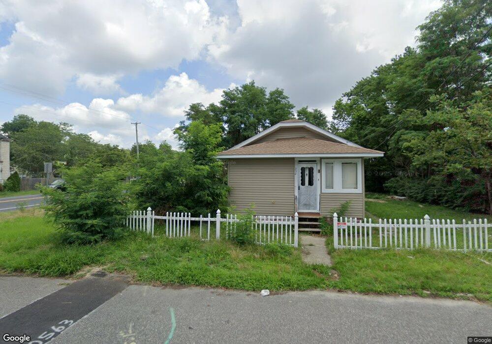
330 W Vernon Ave Linwood, NJ 08221
Estimated Value: $209,000 - $260,000
--
Bed
--
Bath
686
Sq Ft
$330/Sq Ft
Est. Value
About This Home
This home is located at 330 W Vernon Ave, Linwood, NJ 08221 and is currently estimated at $226,680, approximately $330 per square foot. 330 W Vernon Ave is a home located in Atlantic County with nearby schools including Seaview Elementary School, Belhaven Middle School, and Mainland Regional High School.
Ownership History
Date
Name
Owned For
Owner Type
Purchase Details
Closed on
Apr 30, 2024
Sold by
Simpkins William J and Simpkins Margaret J
Bought by
Ocean Portal Investments Llc
Current Estimated Value
Home Financials for this Owner
Home Financials are based on the most recent Mortgage that was taken out on this home.
Original Mortgage
$275,000
Interest Rate
5%
Mortgage Type
Construction
Purchase Details
Closed on
Sep 23, 1991
Sold by
Hackett Patricia Q
Bought by
Simpkins William J and Simpkins Margaret J
Create a Home Valuation Report for This Property
The Home Valuation Report is an in-depth analysis detailing your home's value as well as a comparison with similar homes in the area
Home Values in the Area
Average Home Value in this Area
Purchase History
| Date | Buyer | Sale Price | Title Company |
|---|---|---|---|
| Ocean Portal Investments Llc | $160,000 | Trident Land Transfer | |
| Simpkins William J | $49,500 | -- |
Source: Public Records
Mortgage History
| Date | Status | Borrower | Loan Amount |
|---|---|---|---|
| Closed | Ocean Portal Investments Llc | $275,000 |
Source: Public Records
Tax History Compared to Growth
Tax History
| Year | Tax Paid | Tax Assessment Tax Assessment Total Assessment is a certain percentage of the fair market value that is determined by local assessors to be the total taxable value of land and additions on the property. | Land | Improvement |
|---|---|---|---|---|
| 2025 | $5,101 | $133,700 | $99,400 | $34,300 |
| 2024 | $5,101 | $133,700 | $99,400 | $34,300 |
| 2023 | $4,864 | $133,700 | $99,400 | $34,300 |
| 2022 | $4,864 | $133,700 | $99,400 | $34,300 |
| 2021 | $4,821 | $133,700 | $99,400 | $34,300 |
| 2020 | $4,754 | $133,700 | $99,400 | $34,300 |
| 2019 | $4,653 | $133,700 | $99,400 | $34,300 |
| 2018 | $4,548 | $133,700 | $99,400 | $34,300 |
| 2017 | $4,458 | $133,700 | $99,400 | $34,300 |
| 2016 | $4,308 | $133,700 | $99,400 | $34,300 |
| 2015 | $4,312 | $133,700 | $99,400 | $34,300 |
| 2014 | $4,486 | $144,700 | $99,400 | $45,300 |
Source: Public Records
Map
Nearby Homes
- 413 W Oakcrest Ave
- 550 Central Ave Unit M3
- 550 Central Ave Unit B1
- 550 Central Ave Unit 4
- 550 Central Ave Unit G-16 Constitution Ct
- 550 Central Ave Unit E-14
- 550 Central Ave Unit I-7
- 608 Revere Ave
- 301 Wabash Ave
- 550 G-16 Central Ave
- 210 Haines Ave
- 309 Haines Ave
- 622 Central Ave
- 14 Wexford Ln
- 2510 Shore Rd
- 41 E Vernon Ave
- 5 Mill Ln
- 2 Sandy Ct
- 605 Shore Rd
- 130 Wilson Ave
- 322 W Vernon Ave
- 11 New Rd
- 0 New Rd Unit 379922
- 328 W Oakcrest Ave
- 332 W Oakcrest Ave
- 326 W Oakcrest Ave
- 5 New Rd
- 402 W Vernon Ave
- 320 W Vernon Ave
- 329 W Vernon Ave
- 316 W Oakcrest Ave
- 323 W Vernon Ave
- 410 W Vernon Ave
- 410 W Oakcrest Ave
- 314 W Vernon Ave
- 312 W Oakcrest Ave
- 415 W Vernon Ave
- 2600 New Rd
- 327 W Oakcrest Ave
- 412 W Vernon Ave