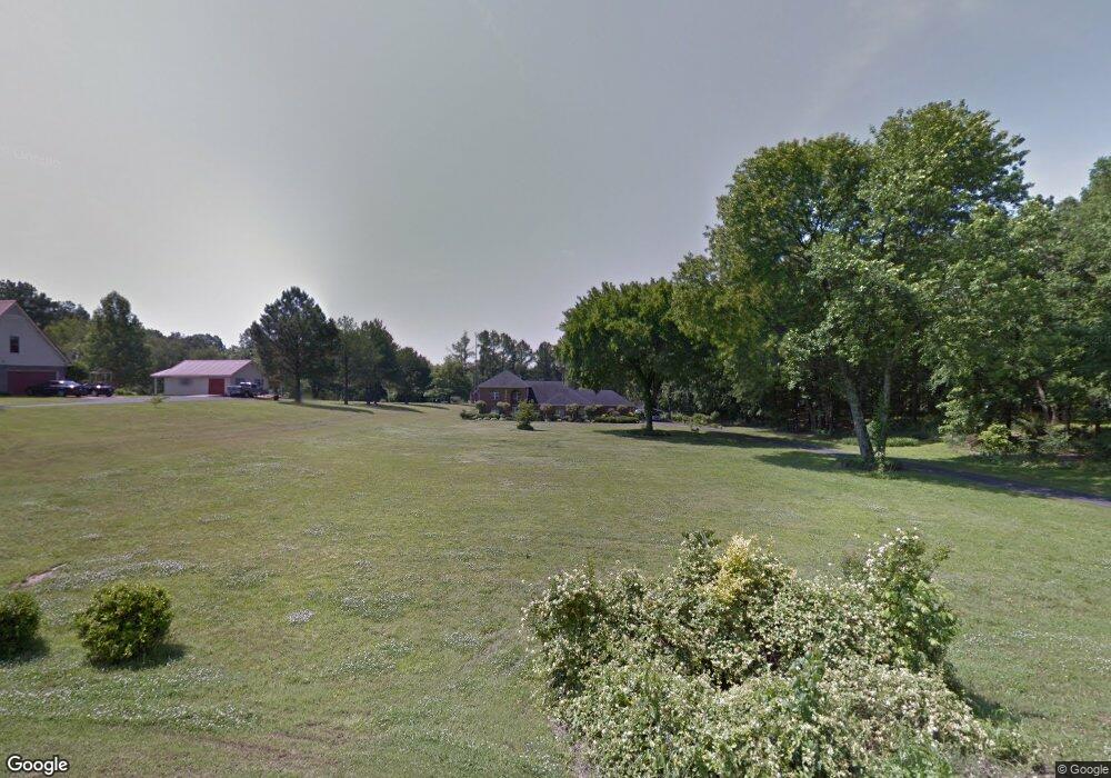
331 Anthony Dr Nesbit, MS 38651
Pleasant Hill NeighborhoodEstimated Value: $443,044 - $552,000
4
Beds
2
Baths
3,700
Sq Ft
$129/Sq Ft
Est. Value
About This Home
This home is located at 331 Anthony Dr, Nesbit, MS 38651 and is currently estimated at $478,761, approximately $129 per square foot. 331 Anthony Dr is a home located in DeSoto County with nearby schools including DeSoto Central Primary School, DeSoto Central Elementary School, and DeSoto Central Middle School.
Ownership History
Date
Name
Owned For
Owner Type
Purchase Details
Closed on
Jun 19, 2015
Sold by
Jung Ju Hee and Young John Tae
Bought by
Jung Ju Hee and Kim John Tae Young
Current Estimated Value
Home Financials for this Owner
Home Financials are based on the most recent Mortgage that was taken out on this home.
Original Mortgage
$242,000
Outstanding Balance
$87,885
Interest Rate
3.89%
Mortgage Type
New Conventional
Estimated Equity
$390,876
Create a Home Valuation Report for This Property
The Home Valuation Report is an in-depth analysis detailing your home's value as well as a comparison with similar homes in the area
Home Values in the Area
Average Home Value in this Area
Purchase History
| Date | Buyer | Sale Price | Title Company |
|---|---|---|---|
| Jung Ju Hee | -- | None Available |
Source: Public Records
Mortgage History
| Date | Status | Borrower | Loan Amount |
|---|---|---|---|
| Open | Jung Ju Hee | $242,000 |
Source: Public Records
Tax History
| Year | Tax Paid | Tax Assessment Tax Assessment Total Assessment is a certain percentage of the fair market value that is determined by local assessors to be the total taxable value of land and additions on the property. | Land | Improvement |
|---|---|---|---|---|
| 2025 | $3,954 | $32,624 | $3,000 | $29,624 |
| 2024 | $3,457 | $23,882 | $3,000 | $20,882 |
| 2023 | $3,457 | $23,882 | $0 | $0 |
| 2022 | $3,384 | $23,882 | $3,000 | $20,882 |
| 2021 | $3,084 | $23,882 | $3,000 | $20,882 |
| 2020 | $2,848 | $22,212 | $3,000 | $19,212 |
| 2019 | $2,848 | $22,212 | $3,000 | $19,212 |
| 2017 | $2,741 | $39,708 | $21,354 | $18,354 |
| 2016 | $2,741 | $21,354 | $3,000 | $18,354 |
| 2015 | $3,041 | $39,708 | $21,354 | $18,354 |
| 2014 | $2,741 | $21,354 | $0 | $0 |
| 2013 | -- | $21,355 | $0 | $0 |
Source: Public Records
Map
Nearby Homes
- 4789 Bakers Trail E
- 2955 Layton Dr
- 3327 Chateau Pointe Blvd
- 926 Buttermilk Dr
- 939 Buttermilk Dr
- 5252 Watson View Dr
- 5175 Watson View Dr
- 3466 Woodland Trace N
- 3382 John Michael Dr
- 504 Bankston Rd
- 3344 Chateau Cir N
- 770 Bouldercrest Dr
- 0 U S Highway 51
- 3667 Aniston Dr
- 2154 Laughter Rd N
- 3454 Carolyn Crossing S
- 3454 Carolyn Crossing
- 655 Long St
- 834 Rodeo Way
- 0 Old Highway 51 N Unit 4141927
- 383 Anthony Dr
- 275 Anthony Dr
- 2740 Anthony Cove
- 2740 Anthony Dr
- 0 Anthony Dr Unit 2287536
- 920 Stewartshire Cove
- 290 Anthony Dr
- 352 Anthony Dr
- 2773 Guernsey Cove
- 2735 Anthony Cove
- 431 Anthony Dr
- 270 Anthony Dr
- 2705 Anthony Cove
- 2775 Anthony Cove
- 2700 Anthony Cove
- 240 Anthony Dr
- 330 Rita Dr
- 2651 S Hunter Rd
- 10 Flora Lee
- 9 Flora Lee
Your Personal Tour Guide
Ask me questions while you tour the home.