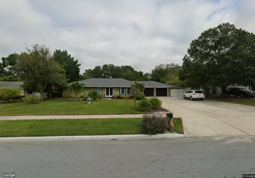
331 Bernard Ave Sarasota, FL 34243
Estimated Value: $629,000 - $869,000
4
Beds
3
Baths
2,763
Sq Ft
$270/Sq Ft
Est. Value
About This Home
This home is located at 331 Bernard Ave, Sarasota, FL 34243 and is currently estimated at $745,686, approximately $269 per square foot. 331 Bernard Ave is a home located in Manatee County with nearby schools including Florine J. Abel Elementary School, Electa Lee Magnet Middle School, and Bayshore High School.
Ownership History
Date
Name
Owned For
Owner Type
Purchase Details
Closed on
Feb 4, 2019
Sold by
Cunnien Kathy
Bought by
Lavin Thomas P and Lavin Claire M
Current Estimated Value
Purchase Details
Closed on
Apr 7, 2008
Sold by
Dunn Leslie C and Estate Of Harry R Goltz
Bought by
Cunnien Kathy
Purchase Details
Closed on
Aug 30, 2000
Sold by
Sarasota Manatee Airport Authority
Bought by
Goltz Harry R
Purchase Details
Closed on
Feb 17, 1998
Sold by
Talley Mildred L and Talley Clifford G
Bought by
Sarasota Manatee Airport Authority
Create a Home Valuation Report for This Property
The Home Valuation Report is an in-depth analysis detailing your home's value as well as a comparison with similar homes in the area
Home Values in the Area
Average Home Value in this Area
Purchase History
| Date | Buyer | Sale Price | Title Company |
|---|---|---|---|
| Lavin Thomas P | $400,000 | Attorney | |
| Cunnien Kathy | $207,000 | Attorney | |
| Goltz Harry R | $189,500 | -- | |
| Sarasota Manatee Airport Authority | $180,000 | -- |
Source: Public Records
Tax History Compared to Growth
Tax History
| Year | Tax Paid | Tax Assessment Tax Assessment Total Assessment is a certain percentage of the fair market value that is determined by local assessors to be the total taxable value of land and additions on the property. | Land | Improvement |
|---|---|---|---|---|
| 2025 | $4,578 | $342,467 | -- | -- |
| 2024 | $4,578 | $332,815 | -- | -- |
| 2023 | $4,512 | $323,121 | $0 | $0 |
| 2022 | $4,390 | $313,710 | $0 | $0 |
| 2021 | $4,206 | $304,573 | $115,000 | $189,573 |
| 2020 | $4,761 | $288,378 | $115,000 | $173,378 |
| 2019 | $2,680 | $194,287 | $0 | $0 |
| 2018 | $2,646 | $190,664 | $0 | $0 |
| 2017 | $2,456 | $186,742 | $0 | $0 |
| 2016 | $2,442 | $182,901 | $0 | $0 |
| 2015 | $2,459 | $181,630 | $0 | $0 |
| 2014 | $2,459 | $180,188 | $0 | $0 |
| 2013 | $2,407 | $177,525 | $0 | $0 |
Source: Public Records
Map
Nearby Homes
- 349 Scott Ave
- 7746 Westmoreland Dr
- 337 Somerset Ave
- 339 Suwanee Ave
- 7608 Westmoreland Dr
- 213 Gaines Ave
- 409 Archibald Ave
- 8204 Constance Dr
- 8255 Longbay Blvd
- Lot 14 Phillips St
- 8258 Longbay Blvd
- 7418 Westmoreland Dr
- 7326 Shepherd St
- 7303 Manatee St
- 7324 Phillips St
- 7304 Claries Dr
- 138 Pearl Ave
- 361 Whitfield Ave
- 7225 Willow St
- 7222 Meadowbrook Dr
- 329 Bernard Ave
- 335 Bernard Ave
- 358 Scott Ave
- 362 Scott Ave
- 325 Bernard Ave
- 354 Scott Ave
- 339 Bernard Ave
- 330 Bernard Ave
- 346 Scott Ave
- 336 Bernard Ave
- 328 Bernard Ave
- 321 Bernard Ave
- 340 Bernard Ave
- 374 Scott Ave
- 342 Scott Ave
- 357 Scott Ave
- 361 Scott Ave
- 343 Bernard Ave
- 353 Scott Ave
- 313 Bernard Ave