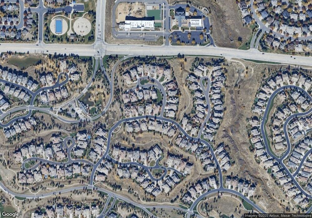
331 Maplehurst Dr Highlands Ranch, CO 80126
Westridge NeighborhoodEstimated Value: $1,393,739 - $1,652,000
4
Beds
5
Baths
3,616
Sq Ft
$426/Sq Ft
Est. Value
About This Home
This home is located at 331 Maplehurst Dr, Highlands Ranch, CO 80126 and is currently estimated at $1,539,435, approximately $425 per square foot. 331 Maplehurst Dr is a home located in Douglas County with nearby schools including Stone Mountain Elementary School, Ranch View Middle School, and Thunderridge High School.
Ownership History
Date
Name
Owned For
Owner Type
Purchase Details
Closed on
Apr 8, 2016
Sold by
Richard J Weed & Roxie A Mountain Weed
Bought by
Weed Family Trust
Current Estimated Value
Purchase Details
Closed on
Apr 8, 2009
Sold by
Weed Richard J and Mountain Weed Roxie A
Bought by
Weed Family Trust
Purchase Details
Closed on
Feb 12, 2008
Sold by
Shea Homes Lp
Bought by
Weed Richard J and Mountain Weed Roxie A
Home Financials for this Owner
Home Financials are based on the most recent Mortgage that was taken out on this home.
Original Mortgage
$417,000
Interest Rate
6.07%
Mortgage Type
Unknown
Create a Home Valuation Report for This Property
The Home Valuation Report is an in-depth analysis detailing your home's value as well as a comparison with similar homes in the area
Home Values in the Area
Average Home Value in this Area
Purchase History
| Date | Buyer | Sale Price | Title Company |
|---|---|---|---|
| Weed Family Trust | -- | -- | |
| Weed Family Trust | -- | None Available | |
| Weed Richard J | -- | None Available | |
| Weed Richard J | $882,404 | Fahtco |
Source: Public Records
Mortgage History
| Date | Status | Borrower | Loan Amount |
|---|---|---|---|
| Previous Owner | Weed Richard J | $417,000 |
Source: Public Records
Tax History
| Year | Tax Paid | Tax Assessment Tax Assessment Total Assessment is a certain percentage of the fair market value that is determined by local assessors to be the total taxable value of land and additions on the property. | Land | Improvement |
|---|---|---|---|---|
| 2025 | $8,526 | $91,310 | $18,740 | $72,570 |
| 2024 | $8,526 | $100,850 | $21,260 | $79,590 |
| 2023 | $8,511 | $100,850 | $21,260 | $79,590 |
| 2022 | $5,929 | $71,850 | $15,900 | $55,950 |
| 2021 | $6,167 | $71,850 | $15,900 | $55,950 |
| 2020 | $5,874 | $70,480 | $14,230 | $56,250 |
| 2019 | $6,561 | $70,480 | $14,230 | $56,250 |
| 2018 | $5,935 | $62,800 | $14,190 | $48,610 |
| 2017 | $5,404 | $62,800 | $14,190 | $48,610 |
| 2016 | $5,149 | $58,730 | $13,740 | $44,990 |
| 2015 | $5,260 | $58,730 | $13,740 | $44,990 |
| 2014 | $5,006 | $51,610 | $11,940 | $39,670 |
Source: Public Records
Map
Nearby Homes
- 237 Maplehurst Dr
- 470 Maplehurst Dr
- 10446 Willowwisp Way
- 10432 Willowwisp Way
- 10426 Willowwisp Way
- 37 Flowerburst Way
- 4 Flowerburst Way
- 493 Meadowleaf Ln
- 760 Ridgemont Cir
- 176 Whitehaven Cir
- 10480 Skyreach Rd
- 167 Whitehaven Cir
- 795 Ridgemont Cir
- 224 Whitehaven Cir
- 468 English Sparrow Trail
- 10703 Braesheather Ct
- 469 Stellars Jay Dr
- 10632 Star Thistle Ct
- 10640 Star Thistle Ct
- 380 Rose Finch Cir
- 319 Maplehurst Dr
- 10457 Marigold Ct
- 10490 Marigold Ct
- 10482 Marigold Ct
- 307 Maplehurst Dr
- 324 Maplehurst Dr
- 340 Maplehurst Dr
- 10439 Marigold Ct
- 10474 Marigold Ct
- 356 Maplehurst Dr
- 310 Maplehurst Dr
- 10435 Marigold Ct
- 295 Maplehurst Dr
- 10466 Marigold Ct
- 374 Maplehurst Dr
- 296 Maplehurst Dr
- 10433 Marigold Ct
- 10458 Marigold Ct
- 283 Maplehurst Dr
- 391 Maplehurst Dr
