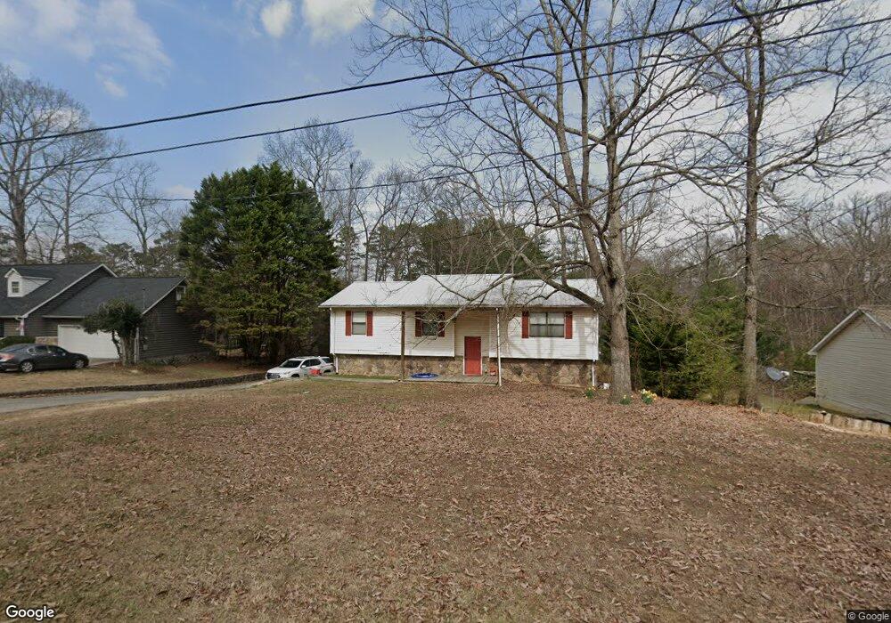
331 Stackstone Dr Dalton, GA 30721
Estimated Value: $257,664 - $293,000
Studio
2
Baths
1,547
Sq Ft
$179/Sq Ft
Est. Value
About This Home
This home is located at 331 Stackstone Dr, Dalton, GA 30721 and is currently estimated at $277,166, approximately $179 per square foot. 331 Stackstone Dr is a home located in Whitfield County with nearby schools including Pleasant Grove Elementary School, New Hope Middle School, and Northwest Whitfield County High School.
Ownership History
Date
Name
Owned For
Owner Type
Purchase Details
Closed on
Aug 2, 2006
Sold by
Mcclain Charles W
Bought by
Edwards Miles Andrew
Current Estimated Value
Home Financials for this Owner
Home Financials are based on the most recent Mortgage that was taken out on this home.
Original Mortgage
$135,000
Outstanding Balance
$79,137
Interest Rate
6.71%
Mortgage Type
New Conventional
Estimated Equity
$198,029
Purchase Details
Closed on
Feb 1, 1992
Bought by
Mcclain Charles W and Mcclain Jennifer R
Create a Home Valuation Report for This Property
The Home Valuation Report is an in-depth analysis detailing your home's value as well as a comparison with similar homes in the area
Purchase History
| Date | Buyer | Sale Price | Title Company |
|---|---|---|---|
| Edwards Miles Andrew | $170,000 | -- | |
| Mcclain Charles W | $79,000 | -- |
Source: Public Records
Mortgage History
| Date | Status | Borrower | Loan Amount |
|---|---|---|---|
| Open | Edwards Miles Andrew | $135,000 |
Source: Public Records
Tax History
| Year | Tax Paid | Tax Assessment Tax Assessment Total Assessment is a certain percentage of the fair market value that is determined by local assessors to be the total taxable value of land and additions on the property. | Land | Improvement |
|---|---|---|---|---|
| 2025 | $2,075 | $100,731 | $15,600 | $85,131 |
| 2024 | $2,075 | $100,731 | $15,600 | $85,131 |
| 2023 | $1,911 | $70,744 | $10,600 | $60,144 |
| 2022 | $1,438 | $57,316 | $10,600 | $46,716 |
| 2021 | $1,439 | $57,316 | $10,600 | $46,716 |
| 2020 | $1,476 | $57,316 | $10,600 | $46,716 |
| 2019 | $1,495 | $57,316 | $10,600 | $46,716 |
| 2018 | $1,373 | $52,867 | $10,600 | $42,267 |
| 2017 | $1,374 | $52,867 | $10,600 | $42,267 |
| 2016 | $1,219 | $49,075 | $8,610 | $40,465 |
| 2014 | $1,122 | $49,075 | $8,610 | $40,465 |
| 2013 | -- | $49,075 | $8,610 | $40,465 |
Source: Public Records
Map
Nearby Homes
- 107 Driftwood Ln
- 101 Forrest Park Rd
- 522 Westbrook Rd
- 503 Moore Dr
- 2502 E Hillview Dr
- 112 Albertson Dr
- 629 Mahogany Ln NW
- 132 Andros Loop
- 1903 Summit View Dr Unit 188
- 1903 Middle Summit Dr
- 140 Andros Dr
- 150 W Acklin Ln
- 142 Andros Dr
- 144 Andros Dr
- 141 Andros Dr
- 116 W Acklin Ln
- 143 Andros Dr
- 145 Andros Dr
- 186 Andros Dr
- 1899 N Summit Dr Unit 66
- 323 Stackstone Dr
- 359 Stackstone Dr
- 369 Stackstone Dr
- 295 Stackstone Dr
- 326 Stackstone Dr
- 360 Stackstone Dr
- 282 Stackstone Dr
- 395 Stackstone Dr
- 168 Serenity Way
- 378 Stackstone Dr
- 171 Serenity Way
- 276 Stackstone Dr
- 105 Azalea Cir
- 407 Stackstone Dr
- 102 Azalea Cir
- 304 Royal Oak Dr
- 300 Royal Oak Dr
- 409 Stackstone Dr
- 218 Stackstone Dr
- 107 Azalea Cir
Your Personal Tour Guide
Ask me questions while you tour the home.