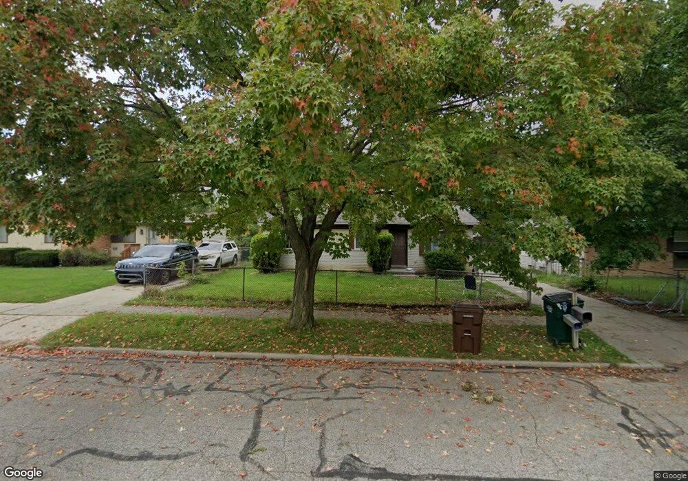
3318 Independence Ln Lansing, MI 48911
Southern Lansing NeighborhoodEstimated Value: $126,352 - $156,000
4
Beds
2
Baths
1,035
Sq Ft
$137/Sq Ft
Est. Value
About This Home
This home is located at 3318 Independence Ln, Lansing, MI 48911 and is currently estimated at $141,838, approximately $137 per square foot. 3318 Independence Ln is a home located in Ingham County with nearby schools including Reo Elementary School, Attwood School, and Everett High School.
Ownership History
Date
Name
Owned For
Owner Type
Purchase Details
Closed on
Aug 26, 2010
Sold by
Metoyer Arnold S
Bought by
Quadrant Residential Capital Iii Llc
Current Estimated Value
Purchase Details
Closed on
Oct 9, 2009
Sold by
Metoyer Arnold S
Bought by
Allen Thomas
Purchase Details
Closed on
Jun 11, 2003
Sold by
Mervantes Enterprises Inc
Bought by
Metoyer Arnold S
Purchase Details
Closed on
Feb 1, 1992
Create a Home Valuation Report for This Property
The Home Valuation Report is an in-depth analysis detailing your home's value as well as a comparison with similar homes in the area
Home Values in the Area
Average Home Value in this Area
Purchase History
| Date | Buyer | Sale Price | Title Company |
|---|---|---|---|
| Quadrant Residential Capital Iii Llc | $33,000 | None Available | |
| Allen Thomas | -- | None Available | |
| Metoyer Arnold S | -- | Midstate Title Co | |
| -- | $23,500 | -- |
Source: Public Records
Tax History Compared to Growth
Tax History
| Year | Tax Paid | Tax Assessment Tax Assessment Total Assessment is a certain percentage of the fair market value that is determined by local assessors to be the total taxable value of land and additions on the property. | Land | Improvement |
|---|---|---|---|---|
| 2025 | $2,477 | $61,100 | $8,700 | $52,400 |
| 2024 | $20 | $48,200 | $8,700 | $39,500 |
| 2023 | $2,332 | $41,000 | $8,700 | $32,300 |
| 2022 | $2,624 | $35,800 | $6,200 | $29,600 |
| 2021 | $2,081 | $32,000 | $5,000 | $27,000 |
| 2020 | $2,066 | $29,100 | $5,000 | $24,100 |
| 2019 | $1,995 | $27,900 | $5,000 | $22,900 |
| 2018 | $1,893 | $24,600 | $5,000 | $19,600 |
| 2017 | $1,822 | $24,600 | $5,000 | $19,600 |
| 2016 | $1,749 | $24,200 | $5,000 | $19,200 |
| 2015 | $1,749 | $23,400 | $10,072 | $13,328 |
| 2014 | $1,749 | $23,000 | $15,404 | $7,596 |
Source: Public Records
Map
Nearby Homes
- 2923 Newark Ave
- 3814 Coachlight Common St
- 6050 S Waverly Rd
- 5830 Granary Ln
- 5424 S Waverly Rd
- 6030 Piper Ave
- 5100 Wexford Rd
- 2416 Midwood St
- 2616 Michigan 99
- 5838 S Martin Luther King Junior Blvd
- 2045 Moffitt St
- 4828 Ingham St
- 4809 Ballard Rd
- 4245 W Jolly Rd Unit 197
- 6037 Hughes Rd
- 3600 Ronald St
- 2520 Renfrew Way
- 0 Midwood St
- 5750 Ashley Dr
- 3115 Risdale Ave
- 3322 Independence Ln
- 3312 Independence Ln
- 3319 Danbury
- 3313 Danbury
- 3313 Danbury Crossroad St
- 3328 Independence Ln
- 3306 Independence Ln
- 3319 Danbury Crossroad St
- 3307 Danbury Crossroad St
- 3325 Danbury Crossroad St
- 3300 Independence Ln
- 3317 Independence Ln
- 3323 Independence Ln
- 3301 Danbury Crossroad St
- 3401 Danbury Crossroad St
- 3311 Independence Ln
- 3327 Independence Ln
- 3305 Independence Ln
- 3408 Independence Ln
- 3401 Independence Ln