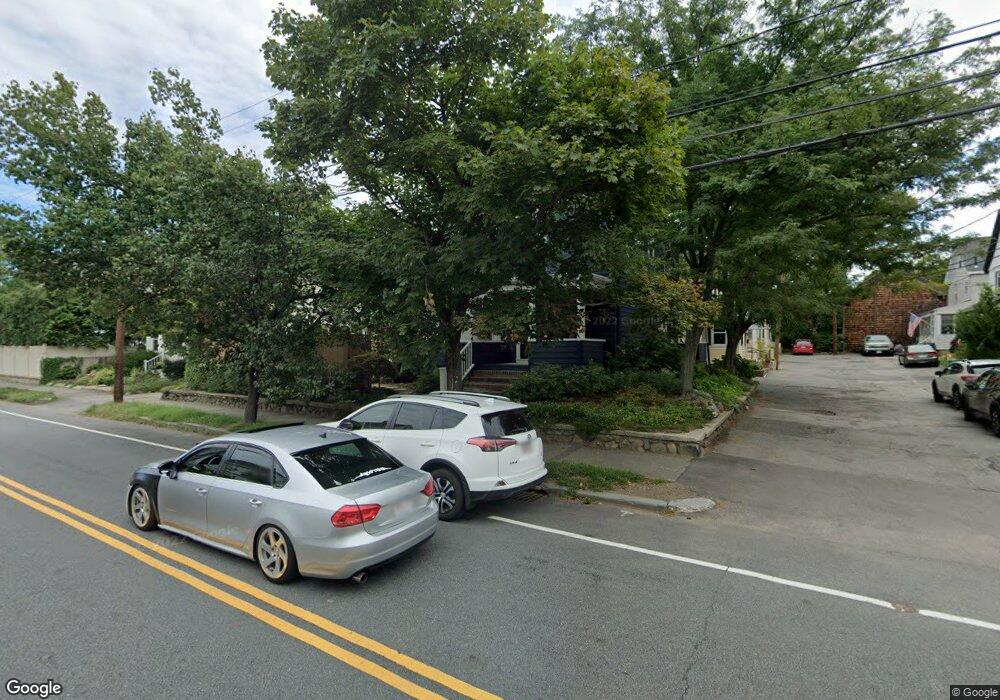
332 Cherry St West Newton, MA 02465
West Newton NeighborhoodEstimated Value: $1,129,991 - $1,348,000
4
Beds
3
Baths
2,080
Sq Ft
$590/Sq Ft
Est. Value
About This Home
This home is located at 332 Cherry St, West Newton, MA 02465 and is currently estimated at $1,227,998, approximately $590 per square foot. 332 Cherry St is a home located in Middlesex County with nearby schools including Franklin Elementary School, C.C. Burr, and F.A. Day Middle School.
Ownership History
Date
Name
Owned For
Owner Type
Purchase Details
Closed on
Aug 26, 2009
Sold by
Lavigne Ann L and Bleau Kevin M
Bought by
Petropulos Anthony J and Siomopoulos Anna M
Current Estimated Value
Purchase Details
Closed on
Aug 16, 2005
Sold by
Keyser M Kelly and Keyser Stephen R
Bought by
Lavigne Ann L and Bleau Kevin M
Purchase Details
Closed on
Jan 16, 1996
Sold by
Overko Beverly A and Voget Terri L
Bought by
Keyser Stephen R and Kelly Keyser M
Create a Home Valuation Report for This Property
The Home Valuation Report is an in-depth analysis detailing your home's value as well as a comparison with similar homes in the area
Home Values in the Area
Average Home Value in this Area
Purchase History
| Date | Buyer | Sale Price | Title Company |
|---|---|---|---|
| Petropulos Anthony J | $577,000 | -- | |
| Lavigne Ann L | $598,900 | -- | |
| Keyser Stephen R | $193,000 | -- |
Source: Public Records
Mortgage History
| Date | Status | Borrower | Loan Amount |
|---|---|---|---|
| Open | Keyser Stephen R | $403,500 | |
| Closed | Keyser Stephen R | $410,000 | |
| Closed | Keyser Stephen R | $411,500 |
Source: Public Records
Tax History
| Year | Tax Paid | Tax Assessment Tax Assessment Total Assessment is a certain percentage of the fair market value that is determined by local assessors to be the total taxable value of land and additions on the property. | Land | Improvement |
|---|---|---|---|---|
| 2025 | $9,062 | $924,700 | $713,500 | $211,200 |
| 2024 | $8,763 | $897,800 | $692,700 | $205,100 |
| 2023 | $8,249 | $810,300 | $515,500 | $294,800 |
| 2022 | $7,893 | $750,300 | $477,300 | $273,000 |
| 2021 | $7,616 | $707,800 | $450,300 | $257,500 |
| 2020 | $7,389 | $707,800 | $450,300 | $257,500 |
| 2019 | $7,181 | $687,200 | $437,200 | $250,000 |
| 2018 | $7,090 | $655,300 | $415,100 | $240,200 |
| 2017 | $6,874 | $618,200 | $391,600 | $226,600 |
| 2016 | $6,575 | $577,800 | $366,000 | $211,800 |
| 2015 | $6,269 | $540,000 | $342,100 | $197,900 |
Source: Public Records
Map
Nearby Homes
- 383 Cherry St Unit 383
- 6 Elm St Unit 6
- 16 Elm St Unit 16
- 2 Elm St Unit 2
- 106 River St Unit 18
- 8 Elm St Unit 8
- 14 Cottage Place Unit 14
- 287 Cherry St Unit 1
- 60 Lindbergh Ave
- 24 Mague Ave Unit 24
- 90 Auburndale Ave
- 14 Wedgewood Rd
- 105 Adams Ave
- 38 Barbara Rd
- 88 Warwick Rd Unit 1
- 0 Duncan Rd Unit 72925240
- 54 Temple St
- 29 Parsons St
- 40 Greenwood Ave
- 160 Pine St Unit 15
- 7 Raymond Place
- 328 Cherry St Unit 2
- 328 Cherry St Unit 1
- 326 Cherry St Unit 2
- 326 Cherry St Unit 1
- 9 Raymond Place
- 340 Cherry St Unit 340
- 340 Cherry St Unit 1
- 340 Cherry St
- 338-340 Cherry St Unit 340
- 338 Cherry St Unit 340
- 8 Raymond Place
- 318 Cherry St Unit 320
- 11 Raymond Place
- 327 Cherry St
- 327 Cherry St Unit R
- 10 Raymond Place
- 344 Cherry St
- 344 Cherry St Unit 2
- 344 Cherry St Unit 1
Your Personal Tour Guide
Ask me questions while you tour the home.