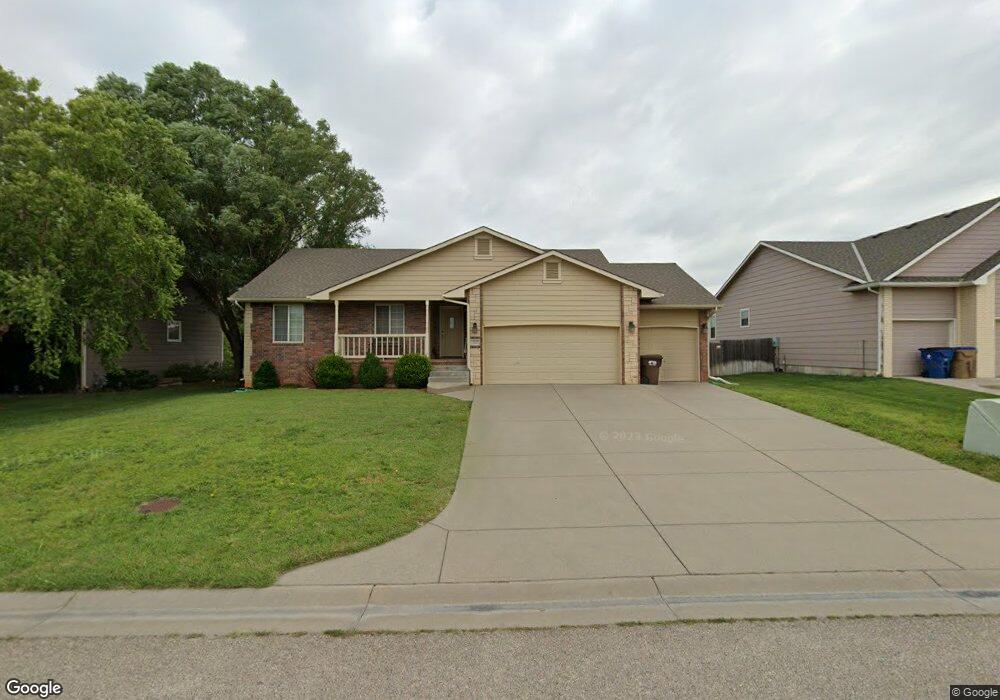
332 E Fox Run St Mulvane, KS 67110
Estimated Value: $283,000 - $286,495
3
Beds
2
Baths
1,322
Sq Ft
$215/Sq Ft
Est. Value
About This Home
This home is located at 332 E Fox Run St, Mulvane, KS 67110 and is currently estimated at $284,748, approximately $215 per square foot. 332 E Fox Run St is a home located in Sedgwick County with nearby schools including Munson Primary School, Mulvane Grade School, and Mulvane Middle School.
Ownership History
Date
Name
Owned For
Owner Type
Purchase Details
Closed on
Jan 25, 2008
Sold by
Hunters Pointe Mulvane Inc
Bought by
Mcpeak Flint M and Mcpeak Brenda
Current Estimated Value
Home Financials for this Owner
Home Financials are based on the most recent Mortgage that was taken out on this home.
Original Mortgage
$155,314
Outstanding Balance
$49,640
Interest Rate
6.11%
Mortgage Type
New Conventional
Estimated Equity
$235,108
Create a Home Valuation Report for This Property
The Home Valuation Report is an in-depth analysis detailing your home's value as well as a comparison with similar homes in the area
Home Values in the Area
Average Home Value in this Area
Purchase History
| Date | Buyer | Sale Price | Title Company |
|---|---|---|---|
| Mcpeak Flint M | -- | First American Title |
Source: Public Records
Mortgage History
| Date | Status | Borrower | Loan Amount |
|---|---|---|---|
| Open | Mcpeak Flint M | $155,314 |
Source: Public Records
Tax History
| Year | Tax Paid | Tax Assessment Tax Assessment Total Assessment is a certain percentage of the fair market value that is determined by local assessors to be the total taxable value of land and additions on the property. | Land | Improvement |
|---|---|---|---|---|
| 2025 | $3,916 | $27,957 | $6,808 | $21,149 |
| 2023 | $3,916 | $26,370 | $4,853 | $21,517 |
| 2022 | $3,485 | $23,541 | $4,577 | $18,964 |
| 2021 | $3,009 | $21,793 | $3,197 | $18,596 |
| 2020 | $2,857 | $20,183 | $3,197 | $16,986 |
| 2019 | $4,119 | $18,343 | $3,197 | $15,146 |
| 2018 | $3,976 | $18,044 | $2,162 | $15,882 |
| 2017 | $4,031 | $0 | $0 | $0 |
| 2016 | $3,937 | $0 | $0 | $0 |
| 2015 | $3,793 | $0 | $0 | $0 |
| 2014 | $3,834 | $0 | $0 | $0 |
Source: Public Records
Map
Nearby Homes
- 3040 N Susan Ln
- 122 E Eagle Watch St
- 1729 N Timbercreek Dr
- 1657 N Prairie Run Cir
- 1850 N Rock Rd
- 1619 N Rock Rd
- 170 Chestnut Dr
- 105 E Burlington Dr
- 1607 N Emerald Valley Cir
- 1603 N Emerald Valley Cir
- 1611 N Emerald Valley Cir
- 1522 N Emerald Valley Dr
- 1530 N Emerald Valley Cir
- 1542 N Emerald Valley Cir
- 1534 N Emerald Valley Cir
- 1538 N Emerald Valley Cir
- 1612 N Diamond Cir
- 1651 N Diamond Cir
- 1647 N Diamond Cir
- 1624 N Diamond Cir
- 336 E Fox Run St
- 336 E Fox Run St Unit 336 E FOX RUN ST.
- 328 E Fox Run St
- 333 E Quail Ridge St
- 2014 N Whitetail Ct
- 340 E Fox Run St
- 2031 N Whitetail Ct
- 343 E Fox Run St
- 344 E Fox Run St
- 2010 N Whitetail Ct
- 2027 N Whitetail Ct
- 341 E Quail Ridge St
- 347 E Fox Run St
- 330 E Quail Ridge St
- 2006 N Whitetail Ct
- 2023 N Whitetail Ct
- 334 E Quail Ridge St
- 338 E Quail Ridge St
- 2002 N Whitetail Ct
- 402 E Fox Run Ct
Your Personal Tour Guide
Ask me questions while you tour the home.