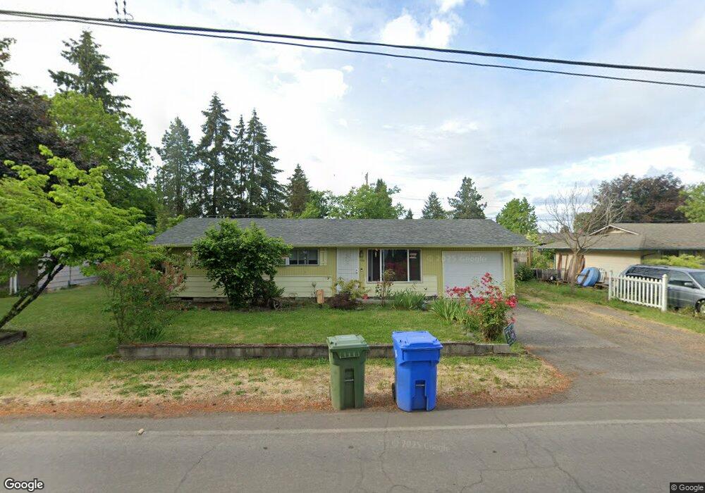
332 Owosso Dr Eugene, OR 97404
River Road NeighborhoodEstimated Value: $333,000 - $380,000
About This Home
This home is located at 332 Owosso Dr, Eugene, OR 97404 and is currently estimated at $366,880, approximately $280 per square foot. 332 Owosso Dr is a home located in Lane County with nearby schools including Howard Elementary School, Kelly Middle School, and North Eugene High School.
Ownership History
We collect this data history from publicly available records. To have your information removed, we recommend requesting removal directly through your county’s website.
Purchase Details
Home Financials for this Owner
Home Financials are based on the most recent Mortgage that was taken out on this home.Purchase Details
Home Values in the Area
Average Home Value in this Area
Purchase History
We collect this data history from publicly available records. To have your information removed, we recommend requesting removal directly through your county’s website.
| Date | Buyer | Sale Price | Title Company |
|---|---|---|---|
| $175,000 | First American Title Ins Co | ||
| $132,500 | -- |
Mortgage History
We collect this data history from publicly available records. To have your information removed, we recommend requesting removal directly through your county’s website.
| Date | Status | Borrower | Loan Amount |
|---|---|---|---|
| Open | $131,000 |
Tax History
We collect this data history from publicly available records. To have your information removed, we recommend requesting removal directly through your county’s website.
| Year | Tax Paid | Tax Assessment Tax Assessment Total Assessment is a certain percentage of the fair market value that is determined by local assessors to be the total taxable value of land and additions on the property. | Land | Improvement |
|---|---|---|---|---|
| 2025 | $3,227 | $192,075 | -- | -- |
| 2024 | $3,192 | $186,481 | -- | -- |
| 2023 | $3,192 | $181,050 | $0 | $0 |
| 2022 | $3,002 | $175,777 | $0 | $0 |
| 2021 | $2,792 | $170,658 | $0 | $0 |
| 2020 | $2,812 | $165,688 | $0 | $0 |
| 2019 | $2,712 | $160,863 | $0 | $0 |
| 2018 | $2,530 | $151,629 | $0 | $0 |
| 2017 | $2,377 | $151,629 | $0 | $0 |
| 2016 | $2,247 | $147,213 | $0 | $0 |
| 2015 | $2,161 | $142,925 | $0 | $0 |
| 2014 | $2,149 | $138,762 | $0 | $0 |
Map
- 110 Corliss Ln
- 132 Formac Ave
- 501 Division Ave Unit 28
- 2519 Justine Ln
- 233 Howard Ave
- 1880 Manihi Dr
- 1430 Barton St
- 310 Hatton Ave
- 389 Maxwell Rd
- 2094 Lake Isle Dr Unit 2096
- 1922 Lake Isle Dr Unit 1922
- 1986 Lake Isle Dr
- 1840 Riverwood Dr
- 447 Maxwell Rd
- 2051 Lake Isle Terrace Unit 2051
- 3465 Brookview Dr
- 529 Helen St
- 0 450-2 Unit 657824339
- 450 Hunsaker Ln
- 84 Green Ln
Ask me questions while you tour the home.