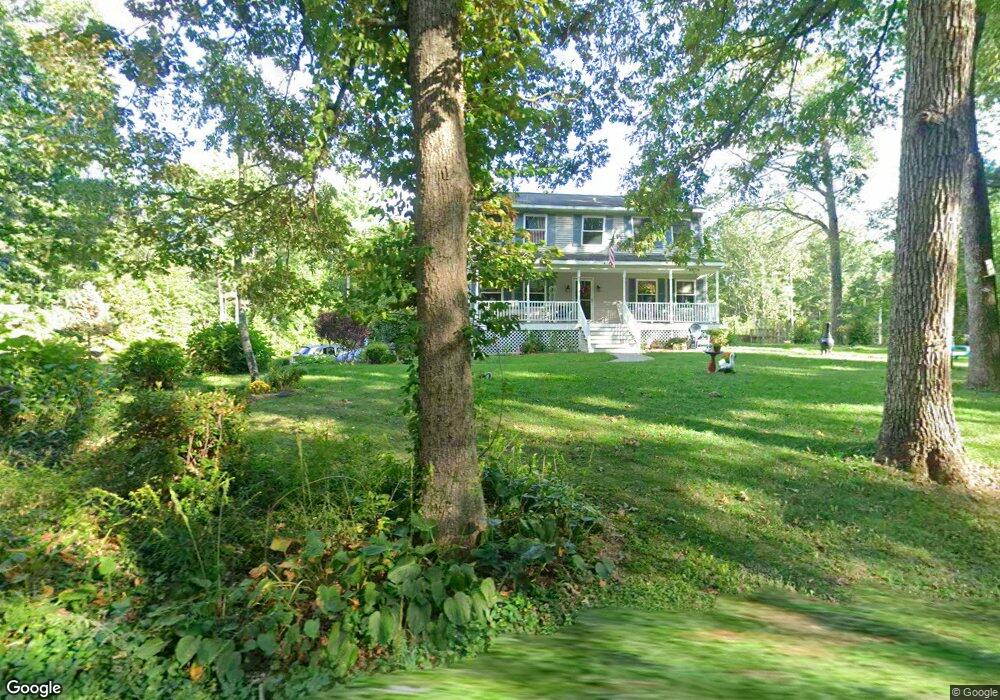
333 Arbor St Lunenburg, MA 01462
Estimated Value: $620,000 - $657,000
3
Beds
3
Baths
2,128
Sq Ft
$299/Sq Ft
Est. Value
About This Home
This home is located at 333 Arbor St, Lunenburg, MA 01462 and is currently estimated at $635,385, approximately $298 per square foot. 333 Arbor St is a home located in Worcester County with nearby schools including Lunenburg Primary School and Lunenburg High School.
Ownership History
Date
Name
Owned For
Owner Type
Purchase Details
Closed on
Feb 10, 2020
Sold by
Chartrand Frances M
Bought by
Frances M Chartrand Ret
Current Estimated Value
Purchase Details
Closed on
Mar 19, 1996
Sold by
Mccarthy Assoc Inc
Bought by
Chartrand Frances M
Create a Home Valuation Report for This Property
The Home Valuation Report is an in-depth analysis detailing your home's value as well as a comparison with similar homes in the area
Home Values in the Area
Average Home Value in this Area
Purchase History
| Date | Buyer | Sale Price | Title Company |
|---|---|---|---|
| Frances M Chartrand Ret | -- | None Available | |
| Chartrand Frances M | $66,000 | -- |
Source: Public Records
Mortgage History
| Date | Status | Borrower | Loan Amount |
|---|---|---|---|
| Previous Owner | Chartrand Frances M | $60,000 | |
| Previous Owner | Chartrand Frances M | $50,000 |
Source: Public Records
Tax History
| Year | Tax Paid | Tax Assessment Tax Assessment Total Assessment is a certain percentage of the fair market value that is determined by local assessors to be the total taxable value of land and additions on the property. | Land | Improvement |
|---|---|---|---|---|
| 2025 | $7,486 | $521,300 | $163,600 | $357,700 |
| 2024 | $6,854 | $486,100 | $154,800 | $331,300 |
| 2023 | $6,502 | $444,700 | $140,500 | $304,200 |
| 2022 | $6,317 | $367,500 | $118,100 | $249,400 |
| 2020 | $6,168 | $340,400 | $118,100 | $222,300 |
| 2019 | $5,955 | $318,800 | $111,700 | $207,100 |
| 2018 | $6,054 | $307,300 | $107,800 | $199,500 |
| 2017 | $5,934 | $297,000 | $103,700 | $193,300 |
| 2016 | $5,626 | $286,900 | $99,300 | $187,600 |
| 2015 | $5,089 | $277,800 | $94,900 | $182,900 |
Source: Public Records
Map
Nearby Homes
- 110 Burrage St
- 116 Townsend Harbor Rd
- 601 Flat Hill Rd
- 35 Leominster Rd
- 45 Spring St
- 146-148 Kilburn St
- 2 Riley Rd Unit B
- 63 Holman St
- 319 Highland St
- 91 Valley Rd
- 711 Massachusetts Ave Unit 2
- 795 Leominster Rd
- 167 S Row Rd
- 36 Gilchrest St
- 365 Hollis Rd
- 4 Lincoln St
- 22 Townsend Rd
- 24 Townsend Rd
- 10 Townsend Rd
- Lot 5 Townsend Rd