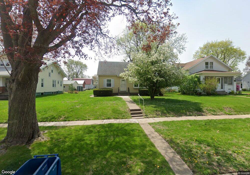
333 E Durant St Walcott, IA 52773
Estimated Value: $167,317 - $233,000
3
Beds
2
Baths
1,206
Sq Ft
$157/Sq Ft
Est. Value
About This Home
This home is located at 333 E Durant St, Walcott, IA 52773 and is currently estimated at $189,079, approximately $156 per square foot. 333 E Durant St is a home located in Scott County with nearby schools including Walcott Elementary School, Walcott Intermediate School, and West High School.
Ownership History
Date
Name
Owned For
Owner Type
Purchase Details
Closed on
Aug 13, 2007
Sold by
Germain Carol and Germain Kenneth
Bought by
Andresen Thomas R and Andresen Sunnie M
Current Estimated Value
Purchase Details
Closed on
Aug 11, 2007
Sold by
Anderson Thomas R and Snderson Sunnie M
Bought by
Anderson Thomas R and Anderson Sunnie M
Purchase Details
Closed on
Jun 25, 2007
Sold by
Hynk Dorothy
Bought by
Anderson Thomas R and Anderson Sunnie M
Create a Home Valuation Report for This Property
The Home Valuation Report is an in-depth analysis detailing your home's value as well as a comparison with similar homes in the area
Purchase History
| Date | Buyer | Sale Price | Title Company |
|---|---|---|---|
| Andresen Thomas R | -- | None Available | |
| Anderson Thomas R | -- | None Available | |
| Andresen Thomas R | -- | None Available | |
| Estate Of Wallance L Anderson | -- | None Available | |
| Anderson Thomas R | -- | None Available |
Source: Public Records
Tax History
| Year | Tax Paid | Tax Assessment Tax Assessment Total Assessment is a certain percentage of the fair market value that is determined by local assessors to be the total taxable value of land and additions on the property. | Land | Improvement |
|---|---|---|---|---|
| 2025 | $1,876 | $143,500 | $24,000 | $119,500 |
| 2024 | $1,840 | $138,500 | $24,000 | $114,500 |
| 2023 | $1,686 | $138,500 | $24,000 | $114,500 |
| 2022 | $1,674 | $103,030 | $16,640 | $86,390 |
| 2021 | $1,674 | $103,030 | $16,640 | $86,390 |
| 2020 | $1,412 | $92,800 | $16,640 | $76,160 |
| 2019 | $1,462 | $87,310 | $12,800 | $74,510 |
| 2018 | $1,428 | $87,310 | $12,800 | $74,510 |
| 2017 | $1,468 | $87,310 | $12,800 | $74,510 |
| 2016 | $1,408 | $86,270 | $0 | $0 |
| 2015 | $1,408 | $82,410 | $0 | $0 |
| 2014 | $1,360 | $82,410 | $0 | $0 |
| 2013 | $1,334 | $0 | $0 | $0 |
| 2012 | -- | $82,410 | $12,800 | $69,610 |
Source: Public Records
Map
Nearby Homes
- 423 S Grove St
- 330 N Main St
- 781 W Walcott Rd Unit 182
- 0 W Lauretta St
- 501 Prairie Meadow Dr
- 508 Prairie Meadow Dr
- 0000 N Oak Ln
- 213 E Mayne St
- 221 W Meuse St
- 305 Walker Way
- 444 Celeste Cir
- 00 Verde Ave
- 0 Verde Ave
- 1519 Wildlife Dr
- 1517 Wildlife Dr
- 1518 Wildlife Dr
- 1526 Wildlife Dr
- 1528 Wildlife Dr
- 1530 Wildlife Dr
- 1520 Wildlife Dr
- 341 E Durant St
- 325 E Durant St
- 313 E Durant St
- 330 E Flagg St
- 344 E Flagg St
- 322 E Flagg St
- 305 E Durant St
- 312 E Flagg St
- 335 S Downey St
- 342 E Durant St
- 324 E Durant St
- 317 S Grove St
- 307 S Grove St
- 312 E Durant St
- 329 S Grove St
- 0000 E Durant St
- 000000 E Durant St
- 302 E Flagg St
- 304 E Durant St
- 221 S Grove St
Your Personal Tour Guide
Ask me questions while you tour the home.