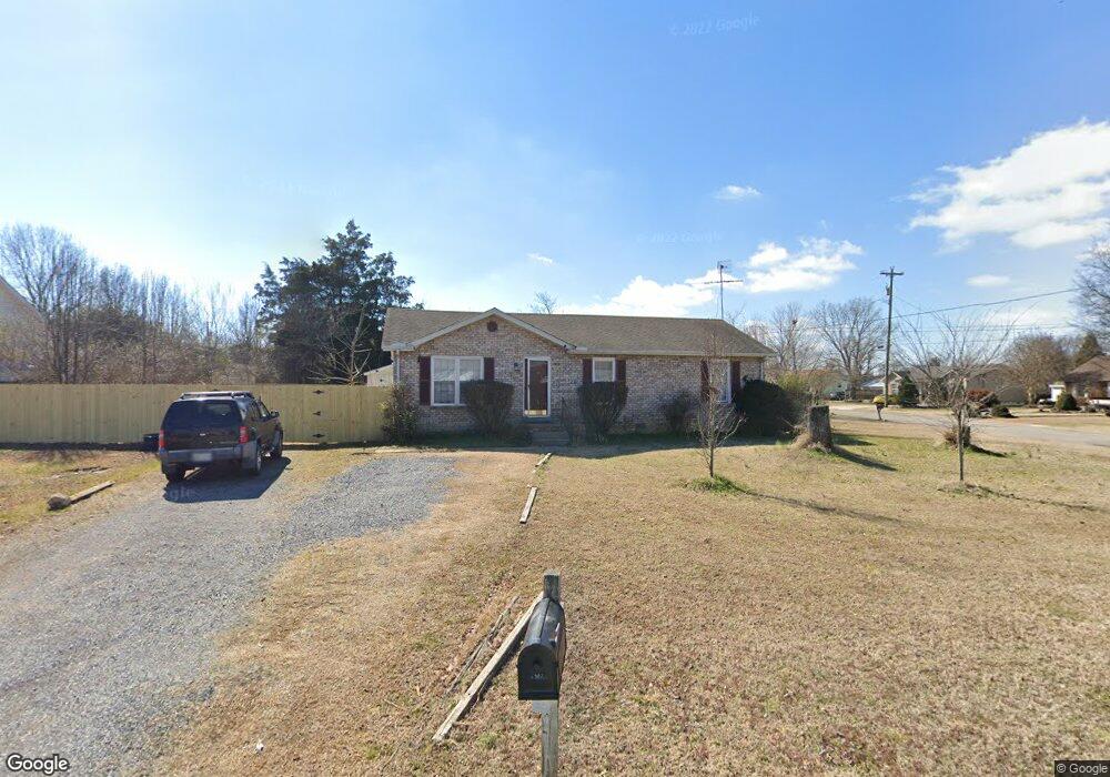
333 Liberty Ln La Vergne, TN 37086
Estimated Value: $250,996 - $315,000
--
Bed
2
Baths
1,104
Sq Ft
$263/Sq Ft
Est. Value
About This Home
This home is located at 333 Liberty Ln, La Vergne, TN 37086 and is currently estimated at $290,499, approximately $263 per square foot. 333 Liberty Ln is a home located in Rutherford County with nearby schools including Roy L. Waldron Elementary School, Lavergne Primary School, and La Vergne Middle School.
Ownership History
Date
Name
Owned For
Owner Type
Purchase Details
Closed on
Sep 29, 2005
Sold by
Hud
Bought by
Yaynshet Feleke
Current Estimated Value
Home Financials for this Owner
Home Financials are based on the most recent Mortgage that was taken out on this home.
Original Mortgage
$69,800
Outstanding Balance
$36,896
Interest Rate
5.66%
Mortgage Type
Purchase Money Mortgage
Estimated Equity
$253,603
Purchase Details
Closed on
Jun 10, 2004
Sold by
Simpson Rusty A
Bought by
Hud
Purchase Details
Closed on
Aug 16, 2002
Sold by
Carter and Rick
Bought by
Rusty Simpson
Home Financials for this Owner
Home Financials are based on the most recent Mortgage that was taken out on this home.
Original Mortgage
$89,269
Interest Rate
6.49%
Purchase Details
Closed on
Jun 17, 1999
Sold by
Craighead Scott E
Bought by
Carter Rick M and Carter Cathy
Create a Home Valuation Report for This Property
The Home Valuation Report is an in-depth analysis detailing your home's value as well as a comparison with similar homes in the area
Home Values in the Area
Average Home Value in this Area
Purchase History
| Date | Buyer | Sale Price | Title Company |
|---|---|---|---|
| Yaynshet Feleke | $87,300 | -- | |
| Hud | $93,815 | -- | |
| Rusty Simpson | $90,000 | -- | |
| Carter Rick M | $87,000 | -- |
Source: Public Records
Mortgage History
| Date | Status | Borrower | Loan Amount |
|---|---|---|---|
| Open | Carter Rick M | $69,800 | |
| Previous Owner | Carter Rick M | $89,269 |
Source: Public Records
Tax History Compared to Growth
Tax History
| Year | Tax Paid | Tax Assessment Tax Assessment Total Assessment is a certain percentage of the fair market value that is determined by local assessors to be the total taxable value of land and additions on the property. | Land | Improvement |
|---|---|---|---|---|
| 2025 | $1,259 | $52,200 | $13,750 | $38,450 |
| 2024 | $1,259 | $52,200 | $13,750 | $38,450 |
| 2023 | $979 | $52,200 | $13,750 | $38,450 |
| 2022 | $844 | $52,200 | $13,750 | $38,450 |
| 2021 | $763 | $34,375 | $8,750 | $25,625 |
| 2020 | $763 | $34,375 | $8,750 | $25,625 |
| 2019 | $763 | $34,375 | $8,750 | $25,625 |
| 2018 | $966 | $34,375 | $0 | $0 |
| 2017 | $836 | $23,025 | $0 | $0 |
| 2016 | $836 | $23,025 | $0 | $0 |
| 2015 | $841 | $23,025 | $0 | $0 |
| 2014 | $573 | $23,025 | $0 | $0 |
| 2013 | -- | $23,400 | $0 | $0 |
Source: Public Records
Map
Nearby Homes
- 4237 Miranda Place
- 613 Sycamore Ln
- 1119 Moss Trail
- 150 Bluegill Ln
- 143 Bluegill Ln
- 149 Bluegill Ln
- 152 Bluegill Ln
- 307 Carp Ct
- 148 Bluegill Ln
- 4414 Maxwell Rd
- ELSTON Plan at Percy Cove
- CALHOUN Plan at Percy Cove
- IRWIN Plan at Percy Cove
- EDMON Plan at Percy Cove
- BOWEN Plan at Percy Cove
- HARBOR Plan at Percy Cove
- ALAMOSA Plan at Percy Cove
- 2015 Keaton Dr
- 7511 Cash Crossing Ct
- 7543 Cash Crossing Ct
- 168 Constitution Ave
- 329 Liberty Ln
- 334 Liberty Ln
- 166 Constitution Ave
- 332 Liberty Ln
- 327 Liberty Ln
- 171 Constitution Ave
- 169 Constitution Ave
- 401 Independence Ct
- 330 Liberty Ln
- 167 Constitution Ave
- 162 Constitution Ave
- 323 Liberty Ln
- 165 Constitution Ave
- 328 Liberty Ln
- 175 Constitution Ave
- 403 Independence Ct
- 502 Washington Ct
- 163 Constitution Ave
- 504 Washington Ct