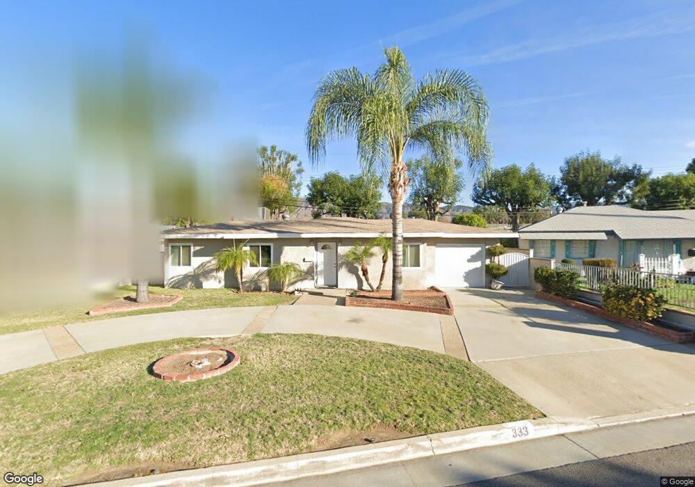
333 W Meacham St Glendora, CA 91740
South Glendora NeighborhoodEstimated Value: $668,384 - $729,000
3
Beds
2
Baths
975
Sq Ft
$727/Sq Ft
Est. Value
About This Home
This home is located at 333 W Meacham St, Glendora, CA 91740 and is currently estimated at $708,596, approximately $726 per square foot. 333 W Meacham St is a home located in Los Angeles County with nearby schools including Stanton Elementary School, Sandburg Middle School, and Glendora High School.
Ownership History
Date
Name
Owned For
Owner Type
Purchase Details
Closed on
Feb 13, 2019
Sold by
Smith Chester L and Smith Bertha M
Bought by
Smith Karen L
Current Estimated Value
Purchase Details
Closed on
Jan 19, 1994
Sold by
Bankers Trust Co
Bought by
Smith Karen L and Smith Chester L
Home Financials for this Owner
Home Financials are based on the most recent Mortgage that was taken out on this home.
Original Mortgage
$134,544
Interest Rate
7.1%
Mortgage Type
FHA
Create a Home Valuation Report for This Property
The Home Valuation Report is an in-depth analysis detailing your home's value as well as a comparison with similar homes in the area
Home Values in the Area
Average Home Value in this Area
Purchase History
| Date | Buyer | Sale Price | Title Company |
|---|---|---|---|
| Smith Karen L | -- | None Available | |
| Smith Karen L | $136,000 | Southern California Title Co |
Source: Public Records
Mortgage History
| Date | Status | Borrower | Loan Amount |
|---|---|---|---|
| Closed | Smith Karen L | $134,544 |
Source: Public Records
Tax History Compared to Growth
Tax History
| Year | Tax Paid | Tax Assessment Tax Assessment Total Assessment is a certain percentage of the fair market value that is determined by local assessors to be the total taxable value of land and additions on the property. | Land | Improvement |
|---|---|---|---|---|
| 2025 | $2,998 | $230,951 | $146,155 | $84,796 |
| 2024 | $2,998 | $226,424 | $143,290 | $83,134 |
| 2023 | $2,931 | $221,985 | $140,481 | $81,504 |
| 2022 | $2,872 | $217,633 | $137,727 | $79,906 |
| 2021 | $2,897 | $213,367 | $135,027 | $78,340 |
| 2019 | $2,670 | $207,040 | $131,023 | $76,017 |
| 2018 | $2,564 | $202,981 | $128,454 | $74,527 |
| 2016 | $2,455 | $195,101 | $123,467 | $71,634 |
| 2015 | $2,403 | $192,171 | $121,613 | $70,558 |
| 2014 | $2,402 | $188,407 | $119,231 | $69,176 |
Source: Public Records
Map
Nearby Homes
- 205 W Linfield St
- 125 W Ronwood St
- 946 S Glendora Ave
- 422 W Route 66 Unit 100
- 1030 S Danehurst Ave
- 337 W Route 66
- 337 W Route 66 Unit 58
- 950 Forestdale Ave
- 715 Forestdale Ave
- 755 W Citrus Edge St
- 1223 Charvers Ave
- 509 W Heber St
- 449 E Haltern Ave
- 619 W Leeside St
- 644 W Gaillard St
- 543 W Heber St
- 149 Rosalynn Dr
- 1065 S Prospero Dr
- 273 S Vermont Ave
- 324 S Minnesota Ave
- 341 W Meacham St
- 325 W Meacham St
- 319 W Meacham St
- 347 W Meacham St
- 332 W Meacham St
- 340 W Meacham St
- 326 W Meacham St
- 320 W Meacham St
- 346 W Meacham St
- 855 S Jenifer Ave
- 911 S Farber Ave
- 861 S Jenifer Ave
- 849 S Jenifer Ave
- 910 S Dodsworth Ave
- 910 S Farber Ave
- 901 S Jenifer Ave
- 851 S Dodsworth Ave
- 857 S Dodsworth Ave
- 917 S Farber Ave
- 901 S Dodsworth Ave