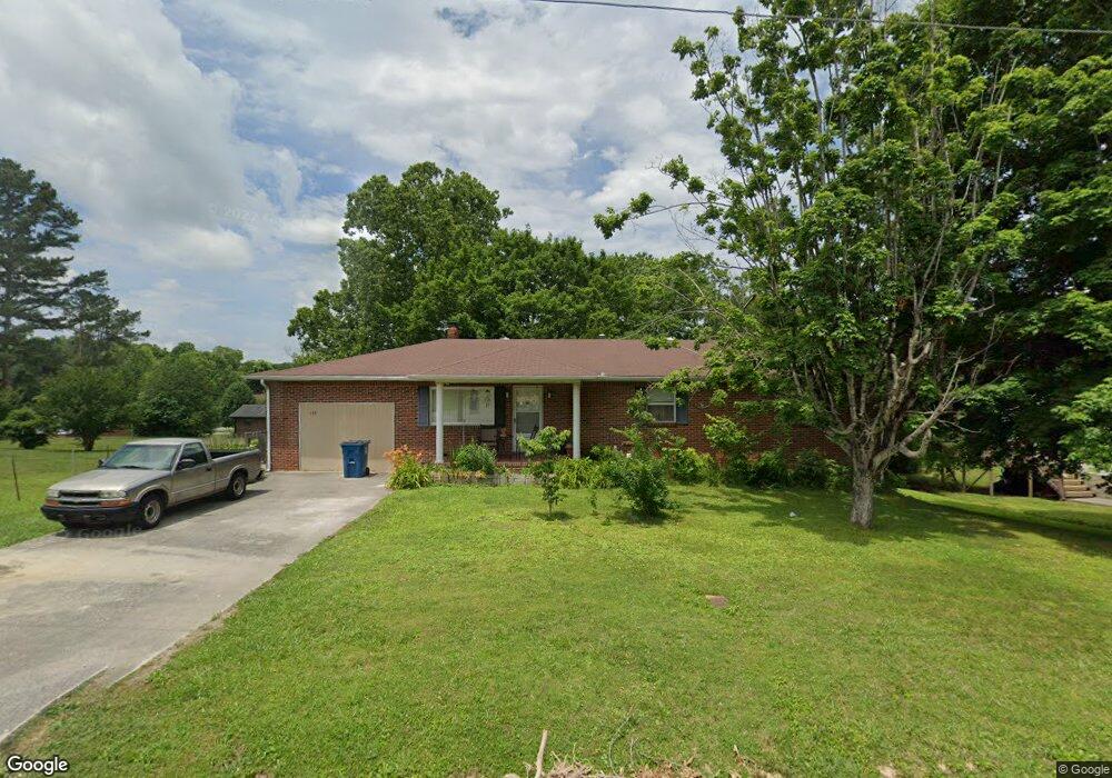
333 Walker St Manchester, TN 37355
Estimated Value: $289,941 - $398,000
4
Beds
2
Baths
3,022
Sq Ft
$110/Sq Ft
Est. Value
About This Home
This home is located at 333 Walker St, Manchester, TN 37355 and is currently estimated at $332,235, approximately $109 per square foot. 333 Walker St is a home located in Coffee County with nearby schools including Westwood Middle School and Temple Baptist Christian School.
Ownership History
Date
Name
Owned For
Owner Type
Purchase Details
Closed on
Apr 20, 2020
Sold by
Haggard Dwight
Bought by
Kerns Richard Albert
Current Estimated Value
Home Financials for this Owner
Home Financials are based on the most recent Mortgage that was taken out on this home.
Original Mortgage
$255,000
Outstanding Balance
$225,037
Interest Rate
3.2%
Mortgage Type
VA
Estimated Equity
$107,198
Purchase Details
Closed on
May 14, 2010
Sold by
Bailey Jeraldine
Bought by
Morris Steve
Purchase Details
Closed on
Apr 3, 1996
Sold by
Goddard William L
Bought by
Titsworth Judy Lee
Create a Home Valuation Report for This Property
The Home Valuation Report is an in-depth analysis detailing your home's value as well as a comparison with similar homes in the area
Home Values in the Area
Average Home Value in this Area
Purchase History
| Date | Buyer | Sale Price | Title Company |
|---|---|---|---|
| Kerns Richard Albert | $255,000 | None Available | |
| Morris Steve | $108,000 | -- | |
| Titsworth Judy Lee | $74,000 | -- |
Source: Public Records
Mortgage History
| Date | Status | Borrower | Loan Amount |
|---|---|---|---|
| Open | Kerns Richard Albert | $255,000 |
Source: Public Records
Tax History Compared to Growth
Tax History
| Year | Tax Paid | Tax Assessment Tax Assessment Total Assessment is a certain percentage of the fair market value that is determined by local assessors to be the total taxable value of land and additions on the property. | Land | Improvement |
|---|---|---|---|---|
| 2024 | $1,526 | $36,200 | $2,250 | $33,950 |
| 2023 | $1,526 | $36,200 | $0 | $0 |
| 2022 | $1,314 | $36,200 | $2,250 | $33,950 |
| 2021 | $1,245 | $27,200 | $2,250 | $24,950 |
| 2020 | $1,245 | $27,200 | $2,250 | $24,950 |
| 2019 | $1,245 | $27,200 | $2,250 | $24,950 |
| 2018 | $1,245 | $27,200 | $2,250 | $24,950 |
| 2017 | $1,307 | $24,925 | $2,250 | $22,675 |
| 2016 | $1,307 | $24,925 | $2,250 | $22,675 |
| 2015 | $1,307 | $24,925 | $2,250 | $22,675 |
| 2014 | $1,307 | $24,919 | $0 | $0 |
Source: Public Records
Map
Nearby Homes
- 207 Glenburg Dr
- 210 Rigney Dr
- 69 Laurel View St
- 23 Country Cir
- 37 Laurel View St
- 57 Laurel View St
- 47 Laurel View St
- 27 Laurel View St
- 461 Hendrixson Dr
- 54 Country Cir
- 163 Stonehenge Ln
- 287 Fredonia Rd
- 6 Fredonia Rd
- 3249 Fredonia Rd
- 1989 Elevation JKL Plan at Stonehenge
- 1726 Elevation JKL Plan at Stonehenge
- 1824 Elevation JKL Plan at Stonehenge
- 1258 Stonehenge Plan at Stonehenge
- 2073 Elevation JKL Plan at Stonehenge
- 1624 Elevation JKL Plan at Stonehenge