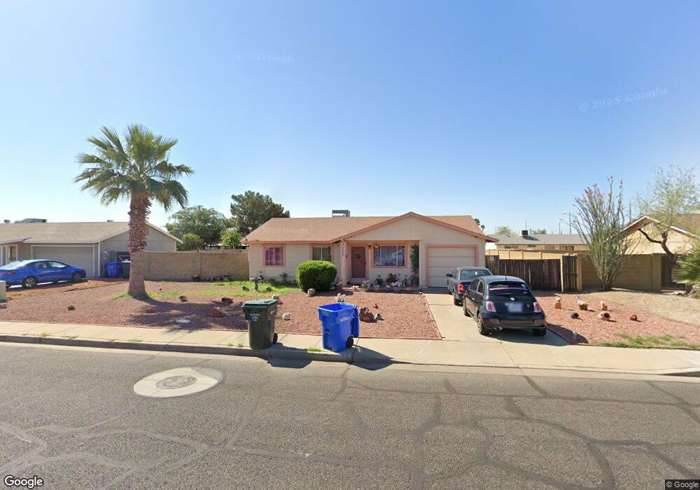
3337 W Behrend Dr Phoenix, AZ 85027
Deer Valley NeighborhoodEstimated Value: $277,783 - $360,000
Studio
2
Baths
1,085
Sq Ft
$308/Sq Ft
Est. Value
About This Home
This home is located at 3337 W Behrend Dr, Phoenix, AZ 85027 and is currently estimated at $334,446, approximately $308 per square foot. 3337 W Behrend Dr is a home located in Maricopa County with nearby schools including Park Meadows Elementary School, Barry Goldwater High School, and Deer Valley Middle School.
Ownership History
Date
Name
Owned For
Owner Type
Purchase Details
Closed on
Sep 19, 2015
Sold by
Cascio Kathryn D
Bought by
Cascio John and Cascio Kathryn
Current Estimated Value
Purchase Details
Closed on
Sep 8, 2005
Sold by
Stearn Rudolph E
Bought by
Stearn Kathryn
Home Financials for this Owner
Home Financials are based on the most recent Mortgage that was taken out on this home.
Original Mortgage
$123,200
Interest Rate
6.1%
Mortgage Type
New Conventional
Create a Home Valuation Report for This Property
The Home Valuation Report is an in-depth analysis detailing your home's value as well as a comparison with similar homes in the area
Home Values in the Area
Average Home Value in this Area
Purchase History
| Date | Buyer | Sale Price | Title Company |
|---|---|---|---|
| Cascio John | -- | None Available | |
| Stearn Kathryn | -- | Grand Canyon Title Agency In |
Source: Public Records
Mortgage History
| Date | Status | Borrower | Loan Amount |
|---|---|---|---|
| Closed | Stearn Kathryn | $123,200 |
Source: Public Records
Tax History
| Year | Tax Paid | Tax Assessment Tax Assessment Total Assessment is a certain percentage of the fair market value that is determined by local assessors to be the total taxable value of land and additions on the property. | Land | Improvement |
|---|---|---|---|---|
| 2025 | $787 | $9,050 | -- | -- |
| 2024 | $766 | $8,619 | -- | -- |
| 2023 | $766 | $24,410 | $4,880 | $19,530 |
| 2022 | $737 | $18,630 | $3,720 | $14,910 |
| 2021 | $770 | $16,250 | $3,250 | $13,000 |
| 2020 | $756 | $15,320 | $3,060 | $12,260 |
| 2019 | $733 | $14,050 | $2,810 | $11,240 |
| 2018 | $707 | $12,560 | $2,510 | $10,050 |
| 2017 | $683 | $10,820 | $2,160 | $8,660 |
| 2016 | $644 | $8,280 | $1,650 | $6,630 |
| 2015 | $575 | $7,250 | $1,450 | $5,800 |
Source: Public Records
Map
Nearby Homes
- 3401 W Oraibi Dr
- 3638 W Wahalla Ln
- 3633 W Escuda Dr
- 3227 W Kristal Way
- 3625 W Menadota Dr
- 3231 W Tonopah Dr
- 3422 W Kimberly Way
- 20455 N 37th Ave
- 20448 N 36th Dr
- 3401 W Morrow Dr Unit 5
- 3025 W Kerry Ln
- 20626 N 32nd Dr
- 18803 N 33rd Dr
- 20442 N 37th Ln
- 20450 N 37th Ln
- 3021 W Tonopah Dr
- 3406 W Irma Ln
- 2929 W Yorkshire Dr Unit 1110
- 2929 W Yorkshire Dr Unit 1068
- 2929 W Yorkshire Dr Unit 2101
- 3343 W Behrend Dr
- 3331 W Behrend Dr
- 3338 W Tonto Ln
- 3344 W Tonto Ln
- 3332 W Tonto Ln
- 3338 W Behrend Dr
- 3401 W Behrend Dr
- 3325 W Behrend Dr
- 3332 W Behrend Dr
- 3344 W Behrend Dr
- 3402 W Tonto Ln
- 3326 W Tonto Ln
- 3326 W Behrend Dr
- 3402 W Behrend Dr
- 3337 W Tonto Ln
- 3319 W Behrend Dr
- 3407 W Behrend Dr
- 3337 W Marco Polo Rd
- 3331 W Tonto Ln Unit 4
- 3343 W Tonto Ln
Your Personal Tour Guide
Ask me questions while you tour the home.