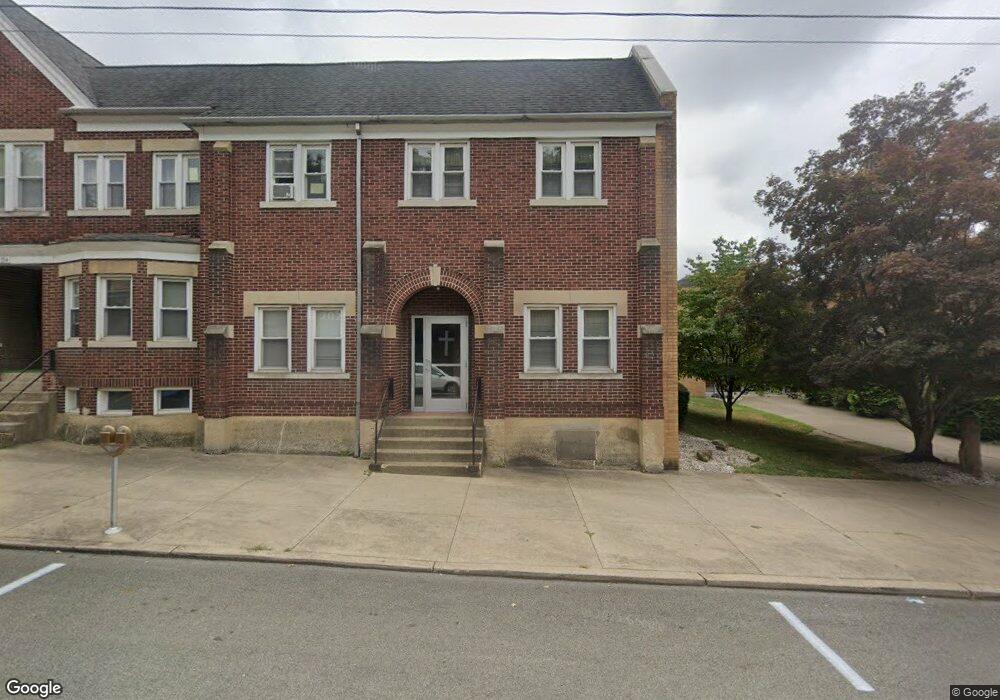
334 Arch St Unit 334 1/2 Kittanning, PA 16201
Estimated Value: $111,000 - $189,000
--
Bed
3
Baths
2,268
Sq Ft
$66/Sq Ft
Est. Value
About This Home
This home is located at 334 Arch St Unit 334 1/2, Kittanning, PA 16201 and is currently estimated at $150,584, approximately $66 per square foot. 334 Arch St Unit 334 1/2 is a home located in Armstrong County with nearby schools including Lenape Elementary School, Grace Christian School, and Harvest Christian School.
Ownership History
Date
Name
Owned For
Owner Type
Purchase Details
Closed on
Jan 13, 2025
Sold by
First Baptist Church Of Kittanning Penns
Bought by
Armstrong County Council On Alcohol And Other
Current Estimated Value
Create a Home Valuation Report for This Property
The Home Valuation Report is an in-depth analysis detailing your home's value as well as a comparison with similar homes in the area
Home Values in the Area
Average Home Value in this Area
Purchase History
| Date | Buyer | Sale Price | Title Company |
|---|---|---|---|
| Armstrong County Council On Alcohol And Other | $150,000 | None Listed On Document | |
| Armstrong County Council On Alcohol And Other | $150,000 | None Listed On Document |
Source: Public Records
Tax History Compared to Growth
Tax History
| Year | Tax Paid | Tax Assessment Tax Assessment Total Assessment is a certain percentage of the fair market value that is determined by local assessors to be the total taxable value of land and additions on the property. | Land | Improvement |
|---|---|---|---|---|
| 2025 | $4,663 | $42,220 | $23,240 | $18,980 |
| 2024 | $4,452 | $42,220 | $23,240 | $18,980 |
| 2023 | $3,500 | $42,220 | $23,240 | $18,980 |
| 2022 | $3,500 | $42,220 | $23,240 | $18,980 |
| 2021 | $3,500 | $42,220 | $23,240 | $18,980 |
| 2020 | $3,500 | $42,220 | $23,240 | $18,980 |
| 2019 | $3,500 | $42,220 | $23,240 | $18,980 |
| 2018 | $3,497 | $33,195 | $6,080 | $27,115 |
| 2017 | $3,477 | $42,220 | $23,240 | $18,980 |
| 2016 | $3,477 | $42,220 | $23,240 | $18,980 |
| 2015 | $3,087 | $42,220 | $23,240 | $18,980 |
| 2014 | $3,087 | $42,220 | $23,240 | $18,980 |
Source: Public Records
Map
Nearby Homes
- 143 N Grant Ave
- 114 S Mckean St
- 156 S Jefferson St
- 139 Oak Ave
- 435 1/2 Reesman Dr Unit 2
- 136 Queen St
- 166 Clearfield Pike
- 509 N Jefferson St
- 203-205 Maple St
- 614 Woodward Ave
- 238 Allegheny Ave
- 414 North Ave
- 119 6th St
- 226 Ridge Ave
- 349 Franklin Ave
- 422-424 Highland Ave
- 228 Arthur St
- 418 Pine Hill Rd
- 514 Southern Ave
- 1017 Johnston Ave