334 Jake Martin Rd Marshfield, VT 05658
Estimated Value: $263,000 - $511,888
5
Beds
4
Baths
3,417
Sq Ft
$122/Sq Ft
Est. Value
About This Home
This home is located at 334 Jake Martin Rd, Marshfield, VT 05658 and is currently estimated at $416,972, approximately $122 per square foot. 334 Jake Martin Rd is a home located in Washington County.
Ownership History
Date
Name
Owned For
Owner Type
Purchase Details
Closed on
Nov 29, 2011
Sold by
Smith Kathleen E and Fischer Peter
Bought by
Smith Kathleen E
Current Estimated Value
Purchase Details
Closed on
Oct 12, 2007
Sold by
Vermont Land Trust Inc and Linder Hannah R Rev Trust
Bought by
Smith Kathleen E and Fischer Peter
Purchase Details
Closed on
Nov 28, 2001
Sold by
Morgan Arthur A Co Trustee and Diener Erwin Co Trustee
Bought by
Keybank Na
Create a Home Valuation Report for This Property
The Home Valuation Report is an in-depth analysis detailing your home's value as well as a comparison with similar homes in the area
Home Values in the Area
Average Home Value in this Area
Purchase History
| Date | Buyer | Sale Price | Title Company |
|---|---|---|---|
| Smith Kathleen E | $10,000 | -- | |
| Smith Kathleen E | $150,000 | -- | |
| Town Of Marshfield | -- | -- | |
| Vermont Land Trust Inc | -- | -- | |
| Linder Samuel Trust | -- | -- | |
| Smith Kathleen E | $150,000 | -- | |
| Keybank Na | -- | -- | |
| Keybank Na | -- | -- | |
| Keybank Na | -- | -- | |
| Keybank Na | -- | -- | |
| Keybank Na | -- | -- |
Source: Public Records
Tax History Compared to Growth
Tax History
| Year | Tax Paid | Tax Assessment Tax Assessment Total Assessment is a certain percentage of the fair market value that is determined by local assessors to be the total taxable value of land and additions on the property. | Land | Improvement |
|---|---|---|---|---|
| 2024 | $7,261 | $315,000 | $62,700 | $252,300 |
| 2023 | $4,351 | $315,000 | $62,700 | $252,300 |
| 2022 | $6,382 | $315,000 | $62,700 | $252,300 |
| 2021 | $5,128 | $197,200 | $73,600 | $123,600 |
| 2020 | $6,576 | $249,600 | $73,600 | $176,000 |
| 2019 | $6,423 | $249,600 | $73,600 | $176,000 |
| 2018 | $6,173 | $249,600 | $73,600 | $176,000 |
| 2016 | $5,842 | $249,600 | $73,600 | $176,000 |
Source: Public Records
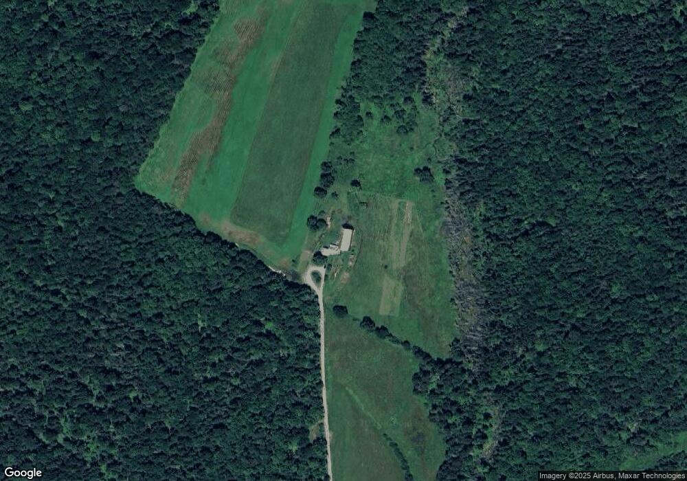
Map
Nearby Homes
- 214 Eaton Cemetery Rd
- 589 Eaton Cemetery Rd
- 657 Eaton Cemetery Rd
- 6052 Us Route 2
- 67 Eaton Cemetery Rd
- 711 Eaton Cemetery Rd
- 2193 Hollister Hill Rd
- 2413 Hollister Hill Rd
- 45 Uncles Way
- 2193 Town Highway 42
- 2435 Hollister Hill Rd
- 1420 Hollister Hill Rd
- 5974 Us Route 2
- 5371 Us Route 2
- 2630 Hollister Hill Rd
- 6052 Us Route 2
- 178 Uncles Way
- 1412 Hollister Hill Rd
- 6066 Us Route 2
- 2676 Hollister Hill Rd