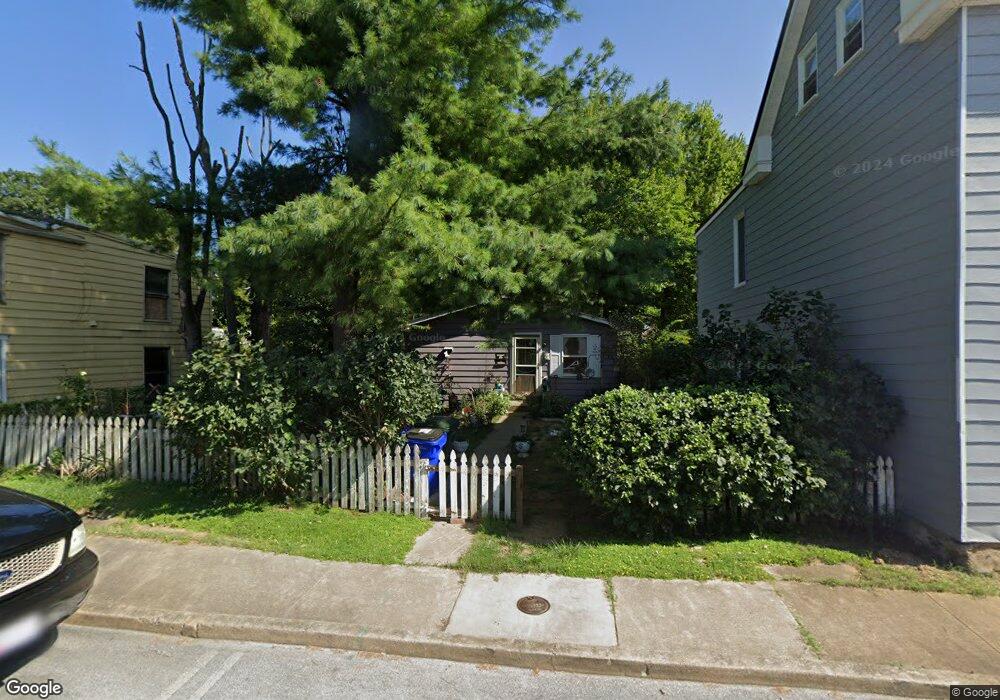
334 Liberty St Hagerstown, MD 21740
East End NeighborhoodEstimated Value: $166,666 - $214,000
--
Bed
1
Bath
960
Sq Ft
$200/Sq Ft
Est. Value
About This Home
This home is located at 334 Liberty St, Hagerstown, MD 21740 and is currently estimated at $191,667, approximately $199 per square foot. 334 Liberty St is a home located in Washington County with nearby schools including Pangborn Elementary School, Otsego West Campus High School, and Northern Middle School.
Ownership History
Date
Name
Owned For
Owner Type
Purchase Details
Closed on
Oct 7, 1999
Sold by
Davis Charles E and Davis Dorothy K
Bought by
Domer Gloria A and Hoke Donald H
Current Estimated Value
Purchase Details
Closed on
Oct 31, 1984
Sold by
Smuck Clifton L
Bought by
Davis Charles E and Davis Dorothy K
Home Financials for this Owner
Home Financials are based on the most recent Mortgage that was taken out on this home.
Original Mortgage
$35,000
Interest Rate
14.05%
Purchase Details
Closed on
Dec 2, 1980
Sold by
Ridenour Robert P
Bought by
Smuck Clifton L
Create a Home Valuation Report for This Property
The Home Valuation Report is an in-depth analysis detailing your home's value as well as a comparison with similar homes in the area
Home Values in the Area
Average Home Value in this Area
Purchase History
| Date | Buyer | Sale Price | Title Company |
|---|---|---|---|
| Domer Gloria A | $64,000 | -- | |
| Davis Charles E | $35,000 | -- | |
| Smuck Clifton L | $38,000 | -- |
Source: Public Records
Mortgage History
| Date | Status | Borrower | Loan Amount |
|---|---|---|---|
| Previous Owner | Davis Charles E | $35,000 | |
| Closed | Domer Gloria A | -- |
Source: Public Records
Tax History Compared to Growth
Tax History
| Year | Tax Paid | Tax Assessment Tax Assessment Total Assessment is a certain percentage of the fair market value that is determined by local assessors to be the total taxable value of land and additions on the property. | Land | Improvement |
|---|---|---|---|---|
| 2025 | $917 | $135,500 | $37,500 | $98,000 |
| 2024 | $917 | $120,400 | $0 | $0 |
| 2023 | $868 | $105,300 | $0 | $0 |
| 2022 | $822 | $90,200 | $37,500 | $52,700 |
| 2021 | $589 | $88,667 | $0 | $0 |
| 2020 | $589 | $87,133 | $0 | $0 |
| 2019 | $800 | $85,600 | $37,500 | $48,100 |
| 2018 | $800 | $85,600 | $37,500 | $48,100 |
| 2017 | $800 | $85,600 | $0 | $0 |
| 2016 | -- | $86,600 | $0 | $0 |
| 2015 | -- | $86,600 | $0 | $0 |
| 2014 | $1,493 | $86,600 | $0 | $0 |
Source: Public Records
Map
Nearby Homes
- 338 Liberty St
- 136 N Cannon Ave
- 351 Liberty St
- 312 E Franklin St
- 414 E Franklin St
- 207 N Mulberry St
- 51 N Cannon Ave
- 200 E Franklin St
- 142 East Ave
- 440 Liberty St
- 35 N Cleveland Ave
- 133 Randolph Ave
- 228 E Washington St
- 115 East Ave
- 15 S Cannon Ave
- 227 N Locust St
- 308 N Locust St
- 16 S Mulberry St
- 243 N Locust St
- 528 Jefferson St
- 330 Liberty St
- 342 Liberty St
- 322 Liberty St
- 350 Liberty St
- 311 Jefferson St
- 347 Musey Ave
- 316 Liberty St
- 352 Liberty St
- 314 Liberty St
- 331 Liberty St
- 335 Liberty St
- 327 Liberty St
- 325 Liberty St
- 200 N Cannon Ave
- 200 N Cannon Ave
- 150 N Cannon Ave
- 206 N Cannon Ave
- 148 N Cannon Ave
- 204 N Cannon Ave
- 321 Liberty St