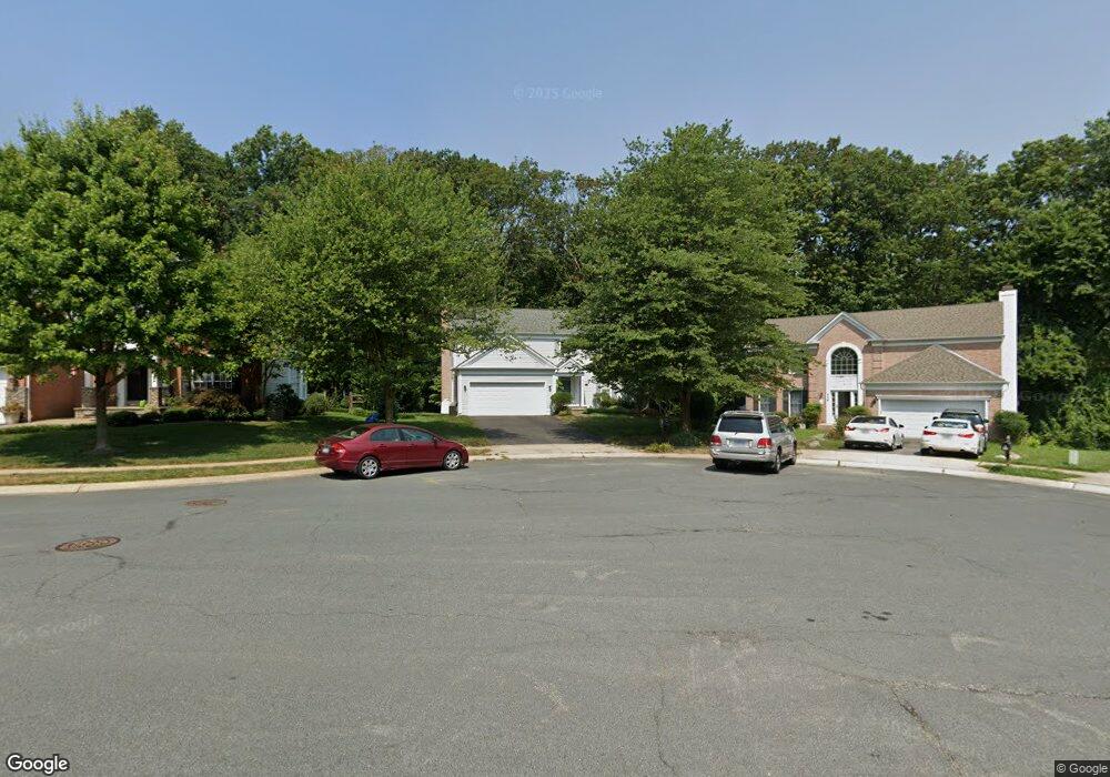
334 Rosslare Dr Arnold, MD 21012
Estimated Value: $697,534 - $796,000
Studio
3
Baths
2,704
Sq Ft
$277/Sq Ft
Est. Value
About This Home
This home is located at 334 Rosslare Dr, Arnold, MD 21012 and is currently estimated at $749,134, approximately $277 per square foot. 334 Rosslare Dr is a home located in Anne Arundel County with nearby schools including Broadneck Elementary School, Magothy River Middle School, and Broadneck High School.
Ownership History
Date
Name
Owned For
Owner Type
Purchase Details
Closed on
Dec 15, 1993
Sold by
Pulte Home
Bought by
Krigman Raphael
Current Estimated Value
Home Financials for this Owner
Home Financials are based on the most recent Mortgage that was taken out on this home.
Original Mortgage
$186,000
Interest Rate
7.03%
Create a Home Valuation Report for This Property
The Home Valuation Report is an in-depth analysis detailing your home's value as well as a comparison with similar homes in the area
Home Values in the Area
Average Home Value in this Area
Purchase History
| Date | Buyer | Sale Price | Title Company |
|---|---|---|---|
| Krigman Raphael | $232,555 | -- |
Source: Public Records
Mortgage History
| Date | Status | Borrower | Loan Amount |
|---|---|---|---|
| Closed | Krigman Raphael | $186,000 |
Source: Public Records
Tax History
| Year | Tax Paid | Tax Assessment Tax Assessment Total Assessment is a certain percentage of the fair market value that is determined by local assessors to be the total taxable value of land and additions on the property. | Land | Improvement |
|---|---|---|---|---|
| 2025 | $4,885 | $588,667 | -- | -- |
| 2024 | $4,885 | $539,400 | $237,100 | $302,300 |
| 2023 | $4,766 | $534,867 | $0 | $0 |
| 2022 | $4,472 | $530,333 | $0 | $0 |
| 2020 | $4,285 | $518,633 | $0 | $0 |
| 2019 | $4,216 | $511,467 | $0 | $0 |
| 2018 | $5,114 | $504,300 | $177,800 | $326,500 |
| 2017 | $3,957 | $480,667 | $0 | $0 |
| 2016 | -- | $457,033 | $0 | $0 |
| 2015 | -- | $433,400 | $0 | $0 |
| 2014 | -- | $431,667 | $0 | $0 |
Source: Public Records
Map
Nearby Homes
- 303 Ternwing Dr
- 276 Overleaf Dr
- 1078 Brightleaf Ct
- 539 Greenblades Ct
- 394 Kings College Dr
- 1159 Greenhill Rd
- 559 Melissa Ct
- 136 Collington Ct
- 342 Buena Vista Ave
- 371 Freshfield Ln
- 404 Alameda Pkwy
- 1254 Masters Dr
- 1232 Taylor Ave
- 1467 Eagle Ct
- 1294 Circle Dr
- 1277 Ritchie Hwy Unit 195
- 1420 Gilbert Rd
- 1350 Ritchie Hwy
- 852 Birchwood Ct
- 1199 Asquithpines Place
- 336 Rosslare Dr
- 332 Rosslare Dr
- 330 Rosslare Dr
- LOT 2 Gloria Harris Ct
- 0 Lot 810a Grandview Rd Unit 1004231267
- 338 Rosslare Dr
- 328 Rosslare Dr
- 335 Rosslare Dr
- 1004 Rosslare Ct
- 329 Rosslare Dr
- 327 Rosslare Dr
- 333 Rosslare Dr
- 1006 Rosslare Ct
- 1002 Rosslare Ct
- 325 Rosslare Dr
- 241 Overleaf Dr
- 331 Rosslare Dr
- 1010 Rosslare Ct
- 1000 Rosslare Ct
- 243 Overleaf Dr
Your Personal Tour Guide
Ask me questions while you tour the home.