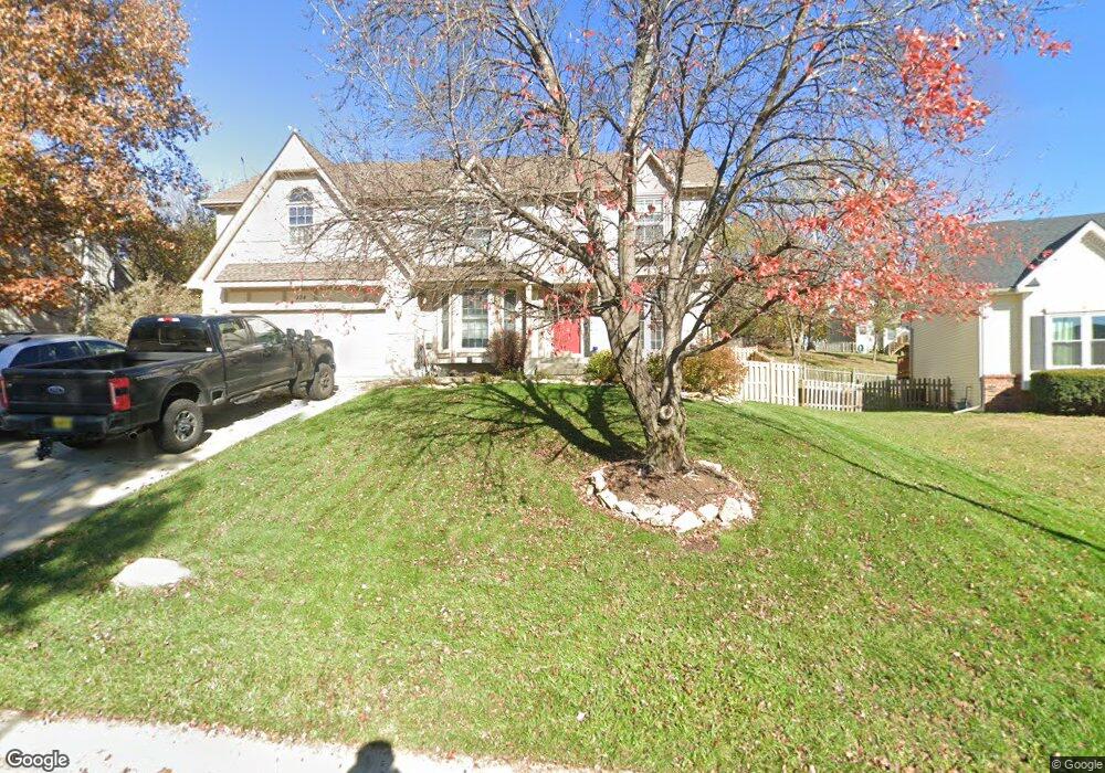
334 Sage Rd Lansing, KS 66043
Estimated Value: $350,000 - $373,000
4
Beds
3
Baths
2,412
Sq Ft
$150/Sq Ft
Est. Value
About This Home
This home is located at 334 Sage Rd, Lansing, KS 66043 and is currently estimated at $361,110, approximately $149 per square foot. 334 Sage Rd is a home located in Leavenworth County with nearby schools including Lansing Elementary School, Lansing Middle 6-8, and Lansing High 9-12.
Ownership History
Date
Name
Owned For
Owner Type
Purchase Details
Closed on
Jul 1, 2004
Bought by
Karas Dean E and Karas Marika
Current Estimated Value
Home Financials for this Owner
Home Financials are based on the most recent Mortgage that was taken out on this home.
Original Mortgage
$100,560
Interest Rate
5.62%
Mortgage Type
New Conventional
Create a Home Valuation Report for This Property
The Home Valuation Report is an in-depth analysis detailing your home's value as well as a comparison with similar homes in the area
Home Values in the Area
Average Home Value in this Area
Purchase History
| Date | Buyer | Sale Price | Title Company |
|---|---|---|---|
| Karas Dean E | $183,000 | -- |
Source: Public Records
Mortgage History
| Date | Status | Borrower | Loan Amount |
|---|---|---|---|
| Closed | Karas Dean E | $100,560 |
Source: Public Records
Tax History Compared to Growth
Tax History
| Year | Tax Paid | Tax Assessment Tax Assessment Total Assessment is a certain percentage of the fair market value that is determined by local assessors to be the total taxable value of land and additions on the property. | Land | Improvement |
|---|---|---|---|---|
| 2025 | $4,824 | $37,339 | $4,692 | $32,647 |
| 2024 | $4,557 | $35,904 | $3,715 | $32,189 |
| 2023 | $4,557 | $35,104 | $3,715 | $31,389 |
| 2022 | $4,381 | $31,912 | $2,838 | $29,074 |
| 2021 | $4,271 | $29,670 | $2,838 | $26,832 |
| 2020 | $4,000 | $27,358 | $2,838 | $24,520 |
| 2019 | $3,814 | $26,060 | $2,838 | $23,222 |
| 2018 | $3,555 | $24,326 | $2,346 | $21,980 |
| 2017 | $3,390 | $23,161 | $2,346 | $20,815 |
| 2016 | $3,339 | $22,805 | $2,346 | $20,459 |
| 2015 | $3,329 | $22,805 | $2,346 | $20,459 |
| 2014 | $3,132 | $21,916 | $2,346 | $19,570 |
Source: Public Records
Map
Nearby Homes
- 527 S Valley Dr
- 104 Olive St
- 922 Southfork St
- 202 S Main St
- 811 4-H Rd
- 124 S Main St
- 522 Forestglen Ln
- 20958 Ida St
- 218 E Kay St
- 129 Crestview Ct
- 546 Hithergreen Dr
- 306 E Kay St
- 310 E Kansas Ave
- 129 Brookwood St
- 521 Hillbrook Dr
- 866 Clearview Dr
- 415 Fairlane St
- 875 Clearview Dr
- 1221 S Desoto Rd
- 268 Holiday Dr
- 332 Sage Rd
- 332 Sage St
- 336 Sage Rd
- 532 S Valley Dr
- 536 S Valley Dr
- 529 Bittersweet Rd
- 330 Sage Rd
- 335 Sage Rd
- 529 S Bittersweet Ln
- 333 Sage Rd
- 801 S Valley Dr
- 528 S Valley Dr
- 525 Bittersweet Rd
- 328 Sage Rd
- 331 Sage Rd
- 532 S Bittersweet Ln
- 805 S Valley Dr
- 534 Bittersweet Rd
- 607 Bittersweet Rd
- 532 Bittersweet Rd