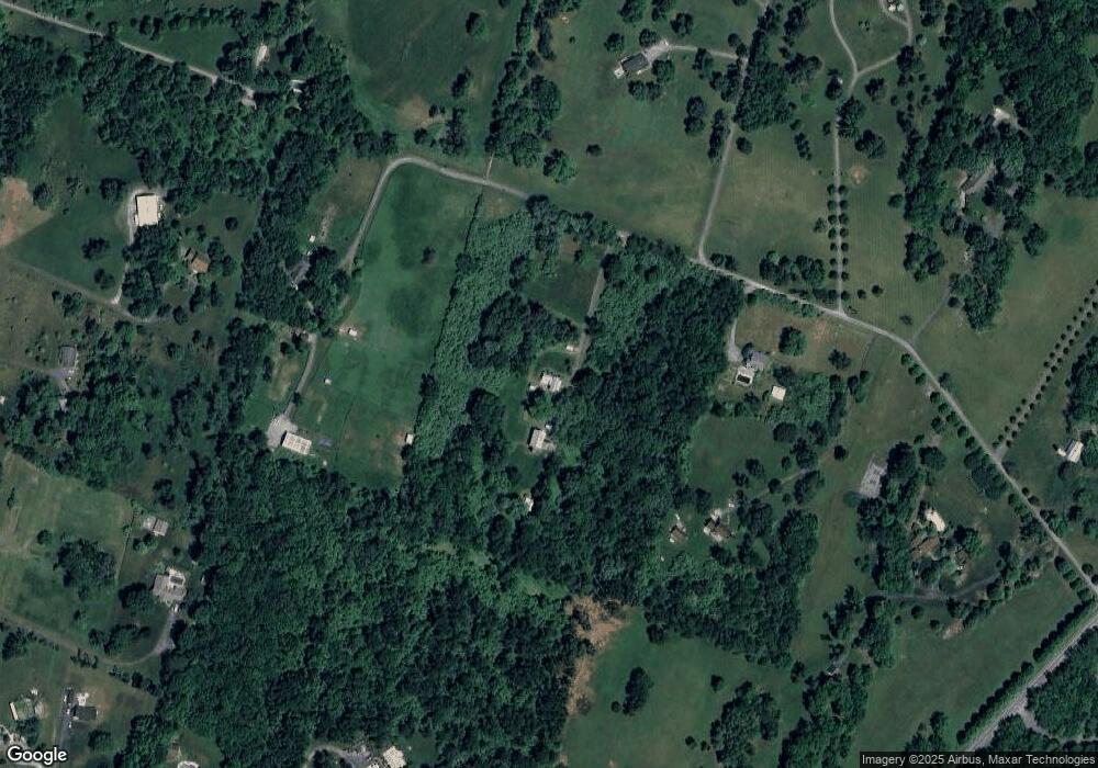
335 Locust Knoll Dr Charles Town, WV 25414
Estimated Value: $409,000 - $719,147
2
Beds
2
Baths
2,013
Sq Ft
$282/Sq Ft
Est. Value
About This Home
This home is located at 335 Locust Knoll Dr, Charles Town, WV 25414 and is currently estimated at $567,787, approximately $282 per square foot. 335 Locust Knoll Dr is a home with nearby schools including South Jefferson Elementary School, Charles Town Middle School, and Washington High School.
Ownership History
Date
Name
Owned For
Owner Type
Purchase Details
Closed on
Oct 27, 2005
Sold by
Horabin Eleanore
Bought by
Sylvia Cynthia and Shaffer Steven B
Current Estimated Value
Home Financials for this Owner
Home Financials are based on the most recent Mortgage that was taken out on this home.
Original Mortgage
$231,535
Outstanding Balance
$177,716
Interest Rate
5.93%
Mortgage Type
Credit Line Revolving
Estimated Equity
$390,071
Create a Home Valuation Report for This Property
The Home Valuation Report is an in-depth analysis detailing your home's value as well as a comparison with similar homes in the area
Home Values in the Area
Average Home Value in this Area
Purchase History
| Date | Buyer | Sale Price | Title Company |
|---|---|---|---|
| Sylvia Cynthia | $622,300 | None Available |
Source: Public Records
Mortgage History
| Date | Status | Borrower | Loan Amount |
|---|---|---|---|
| Open | Sylvia Cynthia | $231,535 |
Source: Public Records
Tax History Compared to Growth
Tax History
| Year | Tax Paid | Tax Assessment Tax Assessment Total Assessment is a certain percentage of the fair market value that is determined by local assessors to be the total taxable value of land and additions on the property. | Land | Improvement |
|---|---|---|---|---|
| 2024 | $3,671 | $313,600 | $153,000 | $160,600 |
| 2023 | $3,608 | $308,900 | $148,300 | $160,600 |
| 2022 | $3,215 | $269,800 | $129,800 | $140,000 |
| 2021 | $3,045 | $250,700 | $125,200 | $125,500 |
| 2020 | $2,802 | $246,200 | $120,500 | $125,700 |
| 2019 | $2,836 | $244,600 | $117,400 | $127,200 |
| 2018 | $2,629 | $223,800 | $101,000 | $122,800 |
| 2017 | $2,658 | $226,300 | $101,000 | $125,300 |
| 2016 | $2,708 | $231,200 | $104,400 | $126,800 |
| 2015 | $2,631 | $223,400 | $104,400 | $119,000 |
| 2014 | $2,643 | $224,800 | $104,400 | $120,400 |
Source: Public Records
Map
Nearby Homes
- 59 Paddock Place
- 776 Thoroughbred Dr
- 899 Earle Rd
- 268 Oakmont Dr
- 1233 Earle Rd
- 215 Brookline Dr
- 1237 Earle Rd
- 830 Sawgrass Dr
- TBD Huyett Rd
- UNK LOT 3 Huyett Rd
- 22 Brookline Cir
- 104 Carrell Ln
- 169 Baltusrol Dr
- 78 Baltusrol Dr
- 353 Spyglass Hill Dr
- 28 Newington Ct N Unit N
- 23 Berkeley Ct
- 436 Spyglass Hill Dr
- 80 Mountaineer Ct
- 31 Locust Hill Dr
- 261 Locust Knoll Dr
- 187 Locust Knoll Dr
- 512 Locust Knoll Dr
- 638 Earle Rd
- 462 Earle Rd
- 764 Earle Rd
- 764 Earle Rd
- 118 Earle Rd
- 170 Locust Knoll Dr
- 582 Earle Rd
- 6485 Summit Point Rd
- 212 Locust Knoll Dr
- 116 Tall Pines Dr
- 142 Donald Dr
- 9 Tall Pines Dr
- 174 Earle Rd
- 174 Earle Rd
- 0 Tall Pines Unit 1006280220
- 0 Tall Pines Dr Unit JF7737219
- 0 Tall Pines Unit JF6629187
