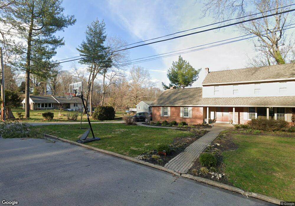
335 N Broad St Kennett Square, PA 19348
Estimated Value: $468,000 - $596,000
3
Beds
2
Baths
1,330
Sq Ft
$410/Sq Ft
Est. Value
About This Home
This home is located at 335 N Broad St, Kennett Square, PA 19348 and is currently estimated at $545,377, approximately $410 per square foot. 335 N Broad St is a home located in Chester County with nearby schools including Kennett Middle School, Kennett High School, and St. Patrick School.
Ownership History
Date
Name
Owned For
Owner Type
Purchase Details
Closed on
Oct 28, 2005
Sold by
Krause Gregory A
Bought by
Lomas Richard K and Lomas Diana K
Current Estimated Value
Home Financials for this Owner
Home Financials are based on the most recent Mortgage that was taken out on this home.
Original Mortgage
$214,000
Outstanding Balance
$115,889
Interest Rate
5.85%
Mortgage Type
Fannie Mae Freddie Mac
Estimated Equity
$429,488
Purchase Details
Closed on
Jul 13, 2001
Sold by
Krause Gregory A and Krause Diane S
Bought by
Krause Gregory A
Home Financials for this Owner
Home Financials are based on the most recent Mortgage that was taken out on this home.
Original Mortgage
$120,000
Interest Rate
8.9%
Create a Home Valuation Report for This Property
The Home Valuation Report is an in-depth analysis detailing your home's value as well as a comparison with similar homes in the area
Home Values in the Area
Average Home Value in this Area
Purchase History
| Date | Buyer | Sale Price | Title Company |
|---|---|---|---|
| Lomas Richard K | $267,500 | None Available | |
| Krause Gregory A | -- | -- |
Source: Public Records
Mortgage History
| Date | Status | Borrower | Loan Amount |
|---|---|---|---|
| Open | Lomas Richard K | $214,000 | |
| Previous Owner | Krause Gregory A | $120,000 |
Source: Public Records
Tax History Compared to Growth
Tax History
| Year | Tax Paid | Tax Assessment Tax Assessment Total Assessment is a certain percentage of the fair market value that is determined by local assessors to be the total taxable value of land and additions on the property. | Land | Improvement |
|---|---|---|---|---|
| 2025 | $6,946 | $142,550 | $47,320 | $95,230 |
| 2024 | $6,946 | $142,550 | $47,320 | $95,230 |
| 2023 | $6,734 | $142,550 | $47,320 | $95,230 |
| 2022 | $6,154 | $142,550 | $47,320 | $95,230 |
| 2021 | $6,099 | $142,550 | $47,320 | $95,230 |
| 2020 | $5,997 | $142,550 | $47,320 | $95,230 |
| 2019 | $5,925 | $142,550 | $47,320 | $95,230 |
| 2018 | $5,787 | $142,550 | $47,320 | $95,230 |
| 2017 | $5,696 | $142,550 | $47,320 | $95,230 |
| 2016 | $565 | $142,550 | $47,320 | $95,230 |
| 2015 | $565 | $142,550 | $47,320 | $95,230 |
| 2014 | $565 | $142,550 | $47,320 | $95,230 |
Source: Public Records
Map
Nearby Homes
- 220 E Linden St
- 311 E State St
- 125 W State St
- 501 N Walnut Rd
- 130 S Walnut St
- 503 W State St
- 228 E Mulberry St
- 448 N Mill Rd
- 510 D St
- 10102 Austin Dr
- 312 Walnut Court Way Unit B12
- 10101 Austin Dr
- 10102 Bramble St
- 602 D St
- 426 S Walnut St
- 10101 Bramble St
- 705 Potter Dr
- 711 Potter Dr
- 621 Magnolia Ct
- 10101 Louie Ln
- 337 N Broad St
- 333 N Broad St
- 391 N Broad St
- 327 N Broad St
- 323 N Broad St
- 316 N Broad St
- 305 N Broad St
- 310 N Broad St
- 390 N Broad St
- 302 N Broad St
- 402 N Union St
- 306 N Broad St
- 141 E Sickle St
- 265 N Broad St
- 107 E Sickle St
- 359 N Union St
- 403 N Broad St
- 361 N Union St
- 400 N Union St
- 105 E Sickle St