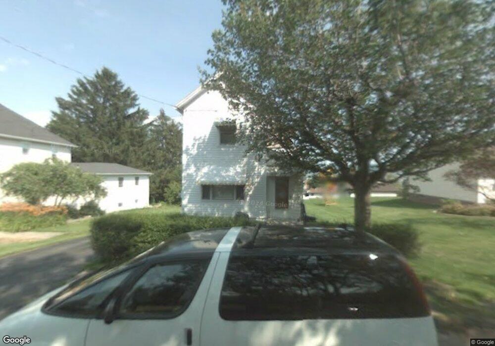
335 Quay Ave Scranton, PA 18504
West Mountain NeighborhoodEstimated Value: $87,056 - $203,000
2
Beds
1
Bath
831
Sq Ft
$182/Sq Ft
Est. Value
About This Home
This home is located at 335 Quay Ave, Scranton, PA 18504 and is currently estimated at $151,514, approximately $182 per square foot. 335 Quay Ave is a home located in Lackawanna County with nearby schools including Longan Elementary School, Adams Elementary School, and Isaac Tripp Elementary School.
Ownership History
Date
Name
Owned For
Owner Type
Purchase Details
Closed on
Apr 21, 2006
Sold by
Naughton Lora
Bought by
Fyock Alvin J and Rillstone Kimberly L
Current Estimated Value
Home Financials for this Owner
Home Financials are based on the most recent Mortgage that was taken out on this home.
Original Mortgage
$49,400
Outstanding Balance
$28,454
Interest Rate
6.4%
Mortgage Type
New Conventional
Estimated Equity
$123,060
Create a Home Valuation Report for This Property
The Home Valuation Report is an in-depth analysis detailing your home's value as well as a comparison with similar homes in the area
Home Values in the Area
Average Home Value in this Area
Purchase History
| Date | Buyer | Sale Price | Title Company |
|---|---|---|---|
| Fyock Alvin J | $49,440 | None Available |
Source: Public Records
Mortgage History
| Date | Status | Borrower | Loan Amount |
|---|---|---|---|
| Open | Fyock Alvin J | $49,400 |
Source: Public Records
Tax History Compared to Growth
Tax History
| Year | Tax Paid | Tax Assessment Tax Assessment Total Assessment is a certain percentage of the fair market value that is determined by local assessors to be the total taxable value of land and additions on the property. | Land | Improvement |
|---|---|---|---|---|
| 2025 | $3,767 | $12,360 | $900 | $11,460 |
| 2024 | $3,428 | $12,360 | $900 | $11,460 |
| 2023 | $3,428 | $12,360 | $900 | $11,460 |
| 2022 | $3,352 | $12,360 | $900 | $11,460 |
| 2021 | $3,352 | $12,360 | $900 | $11,460 |
| 2020 | $3,286 | $12,360 | $900 | $11,460 |
| 2019 | $3,086 | $12,360 | $900 | $11,460 |
| 2018 | $3,086 | $12,360 | $900 | $11,460 |
| 2017 | $3,028 | $12,360 | $900 | $11,460 |
| 2016 | $789 | $12,360 | $900 | $11,460 |
| 2015 | $1,906 | $12,360 | $900 | $11,460 |
| 2014 | -- | $12,360 | $900 | $11,460 |
Source: Public Records
Map
Nearby Homes
- 0 Crisp Ave and Division St Unit 22-3646
- 310 Dale Ave
- 0 Roanoke Ln Unit GSBSC254856
- 0 Way
- 2749 Jackson St
- 138 S Keyser Ave
- 0 Marginal Rd Unit GSBSC253025
- 2613 Jackson St
- 2923 Frink St
- 813 S Keyser Ave
- 2133 35 Jackson St
- 444 N Cameron Ave
- 142 S Van Buren Ave
- 1819 Luzerne St
- 133 S Van Buren Ave
- 107 Ridgeview Dr
- 415 18th Ave
- 138-140 S Everett Ave
- 405 17th Ave
- 149 S Everett Ave
- 331 Quay Ave
- 329 Quay Ave
- 330 S Horatio Ave
- 334 Quay Ave
- 324 S Horatio Ave
- 340 Quay Ave
- 309 Quay Ave
- 302 S Horatio Ave
- 400 Roanoko Ln
- 318 S Horatio Ave
- 320 Quay Ave
- 317 Crisp Ave
- 331 S Horatio Ave
- 301 Quay Ave
- 335 S Horatio Ave Unit 337
- 321 Crisp Ave
- 315 Crisp Ave
- 327 S Horatio Ave
- 404 Roanoke Ln
- 325 S Horatio Ave