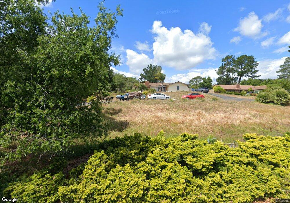
335 Saint Andrews Way Lompoc, CA 93436
Estimated Value: $848,000 - $1,050,000
5
Beds
3
Baths
2,600
Sq Ft
$359/Sq Ft
Est. Value
About This Home
This home is located at 335 Saint Andrews Way, Lompoc, CA 93436 and is currently estimated at $933,875, approximately $359 per square foot. 335 Saint Andrews Way is a home located in Santa Barbara County with nearby schools including Buena Vista Elementary School, Cabrillo High School, and Olive Grove Charter - Lompoc.
Ownership History
Date
Name
Owned For
Owner Type
Purchase Details
Closed on
Jul 22, 2019
Sold by
Winchell Patricia
Bought by
Winchell Patricia N H and Winchell David H
Current Estimated Value
Home Financials for this Owner
Home Financials are based on the most recent Mortgage that was taken out on this home.
Original Mortgage
$800,000
Interest Rate
3.82%
Mortgage Type
New Conventional
Purchase Details
Closed on
Mar 11, 2016
Sold by
Winchell David H and Winchell Patricia N
Bought by
David H & Patricia N Winchell Trust and Winchell Patricia N
Create a Home Valuation Report for This Property
The Home Valuation Report is an in-depth analysis detailing your home's value as well as a comparison with similar homes in the area
Home Values in the Area
Average Home Value in this Area
Purchase History
| Date | Buyer | Sale Price | Title Company |
|---|---|---|---|
| Winchell Patricia N H | -- | First American Title Company | |
| Winchell Patricia | -- | First American Title Company | |
| David H & Patricia N Winchell Trust | -- | None Available |
Source: Public Records
Mortgage History
| Date | Status | Borrower | Loan Amount |
|---|---|---|---|
| Closed | Winchell Patricia | $800,000 |
Source: Public Records
Tax History Compared to Growth
Tax History
| Year | Tax Paid | Tax Assessment Tax Assessment Total Assessment is a certain percentage of the fair market value that is determined by local assessors to be the total taxable value of land and additions on the property. | Land | Improvement |
|---|---|---|---|---|
| 2025 | $5,105 | $446,487 | $162,476 | $284,011 |
| 2023 | $5,105 | $429,152 | $156,168 | $272,984 |
| 2022 | $5,023 | $420,738 | $153,106 | $267,632 |
| 2021 | $5,076 | $412,489 | $150,104 | $262,385 |
| 2020 | $5,024 | $408,260 | $148,565 | $259,695 |
| 2019 | $4,947 | $400,255 | $145,652 | $254,603 |
| 2018 | $4,876 | $392,408 | $142,797 | $249,611 |
| 2017 | $4,703 | $384,715 | $139,998 | $244,717 |
| 2016 | $4,350 | $377,172 | $137,253 | $239,919 |
| 2015 | $4,318 | $371,508 | $135,192 | $236,316 |
| 2014 | $4,255 | $364,231 | $132,544 | $231,687 |
Source: Public Records
Map
Nearby Homes
- 369 Falcon Crest Dr
- 4131 Oakwood Rd
- 3925 Clubhouse Ct
- 579 Saint Andrews Way
- 3987 Agena Way
- 3986 Spica Way
- 445 Firestone Way
- 0 Oak Hill Dr Unit 24-783
- 4464 Greenbrier Rd
- 317 Medinah Ln
- 4185 Vanguard Dr
- 4123 Constellation Rd
- 189 Galaxy Way
- 210 Oak Hill Dr
- 220 Oak Hill Dr
- 196 Galaxy Way
- 244 Pegasus Ave
- 4533 Falcon Dr
- 3951 Mesa Circle Dr
- 559 Mars Ave
- 345 Saint Andrews Way
- 327 Saint Andrews Way
- 355 Saint Andrews Way
- 317 Saint Andrews Way
- 336 Saint Andrews Way
- 328 Saint Andrews Way
- 344 Saint Andrews Way
- 318 Saint Andrews Way
- 4019 Saint Andrews Ct
- 352 Saint Andrews Way
- 4049 St Andrews Ct
- 4049 Saint Andrews Ct
- 352 St Andrews Way
- 367 Saint Andrews Way
- 310 Saint Andrews Way
- 360 Saint Andrews Way
- 325 Falcon Crest Dr
- 339 Falcon Crest Dr
- 345 Falcon Crest Dr
- 319 Falcon Crest Dr