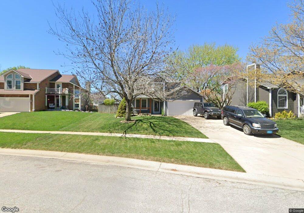
3353 SW Osborn Rd Topeka, KS 66614
Southwest Topeka NeighborhoodEstimated Value: $289,490 - $321,000
3
Beds
3
Baths
1,811
Sq Ft
$164/Sq Ft
Est. Value
About This Home
This home is located at 3353 SW Osborn Rd, Topeka, KS 66614 and is currently estimated at $297,873, approximately $164 per square foot. 3353 SW Osborn Rd is a home located in Shawnee County with nearby schools including Farley Elementary School, Washburn Rural Middle School, and Washburn Rural High School.
Ownership History
Date
Name
Owned For
Owner Type
Purchase Details
Closed on
Mar 3, 2005
Sold by
Klecan William J and Klecan Mary Beth
Bought by
Keller John Layne and Orton Aleasha D
Current Estimated Value
Home Financials for this Owner
Home Financials are based on the most recent Mortgage that was taken out on this home.
Original Mortgage
$130,500
Outstanding Balance
$66,598
Interest Rate
5.71%
Mortgage Type
New Conventional
Estimated Equity
$231,275
Create a Home Valuation Report for This Property
The Home Valuation Report is an in-depth analysis detailing your home's value as well as a comparison with similar homes in the area
Home Values in the Area
Average Home Value in this Area
Purchase History
| Date | Buyer | Sale Price | Title Company |
|---|---|---|---|
| Keller John Layne | -- | Kansas Secured Title | |
| Keller John Layne | -- | Kansas Secured Title |
Source: Public Records
Mortgage History
| Date | Status | Borrower | Loan Amount |
|---|---|---|---|
| Open | Keller John Layne | $130,500 | |
| Closed | Keller John Layne | $130,500 |
Source: Public Records
Tax History Compared to Growth
Tax History
| Year | Tax Paid | Tax Assessment Tax Assessment Total Assessment is a certain percentage of the fair market value that is determined by local assessors to be the total taxable value of land and additions on the property. | Land | Improvement |
|---|---|---|---|---|
| 2025 | $4,259 | $27,918 | -- | -- |
| 2023 | $4,259 | $26,833 | $0 | $0 |
| 2022 | $3,830 | $23,958 | $0 | $0 |
| 2021 | $3,322 | $20,834 | $0 | $0 |
| 2020 | $3,101 | $19,841 | $0 | $0 |
| 2019 | $3,014 | $19,263 | $0 | $0 |
| 2018 | $2,916 | $18,702 | $0 | $0 |
| 2017 | $2,907 | $18,426 | $0 | $0 |
| 2014 | $2,882 | $18,065 | $0 | $0 |
Source: Public Records
Map
Nearby Homes
- 3213 SW Kent St
- 3525 SW Kent Ct
- 5507 SW Chapella St
- 3101 SW Muirfield Ct
- 3019 SW Arrowhead Rd
- 3101 SW Wanamaker Dr Unit 13
- 2952 SW Woodstock Ln
- 5725 SW Quail Cove Cir
- 2926 SW Arrowhead Rd
- 5729 SW 37th Terrace
- 3502 SW Stonybrook Dr
- 3743 SW Clarion Park Dr
- 5832 SW Clarion Ln
- 3633 SW Ashworth Place
- 5747 SW 38th St
- 5120 SW 32nd Terrace
- 3728 SW Stonybrook Dr
- 3611 SW Red Hawk Ct
- 5719 SW 27th St
- 000 SW Armstrong Ave
- 3347 SW Osborn Rd
- 3359 SW Osborn Rd
- 3348 SW Westport Dr
- 3365 SW Osborn Rd
- 5693 SW 33rd Terrace
- 3341 SW Osborn Rd
- 3352 SW Westport Dr
- 3344 SW Westport Dr
- 3360 SW Osborn Rd
- 3371 SW Osborn Rd
- 3352 SW Osborn Rd
- 3364 SW Osborn Rd
- 3356 SW Westport Dr
- 3346 SW Osborn Rd
- 3370 SW Osborn Rd
- 3340 SW Osborn Rd
- 3377 SW Osborn Rd
- 5674 SW 34th St
- 3376 SW Osborn Rd
- 5690 SW 33rd Terrace