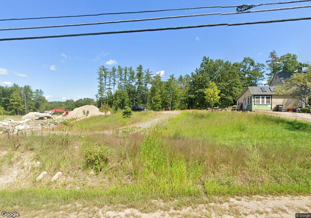
337 Pleasant St Epping, NH 03042
Estimated Value: $427,000 - $543,000
4
Beds
3
Baths
1,620
Sq Ft
$299/Sq Ft
Est. Value
About This Home
This home is located at 337 Pleasant St, Epping, NH 03042 and is currently estimated at $484,084, approximately $298 per square foot. 337 Pleasant St is a home located in Rockingham County with nearby schools including Epping Elementary School, Epping Middle School, and Epping High School.
Ownership History
Date
Name
Owned For
Owner Type
Purchase Details
Closed on
Dec 29, 2023
Sold by
Cote William A and Cote Kristin M
Bought by
Masone Angelea M and Fucca Nicholas
Current Estimated Value
Home Financials for this Owner
Home Financials are based on the most recent Mortgage that was taken out on this home.
Original Mortgage
$334,000
Outstanding Balance
$327,819
Interest Rate
7.44%
Mortgage Type
Purchase Money Mortgage
Estimated Equity
$156,265
Purchase Details
Closed on
Sep 2, 2009
Sold by
Renald J Cote Ret and Diane A Cote Ret
Bought by
Lamaco Llc
Home Financials for this Owner
Home Financials are based on the most recent Mortgage that was taken out on this home.
Original Mortgage
$300,000
Interest Rate
5.21%
Mortgage Type
Purchase Money Mortgage
Purchase Details
Closed on
May 26, 2005
Sold by
Mohan Michael N
Bought by
Wells Fargo Bk
Create a Home Valuation Report for This Property
The Home Valuation Report is an in-depth analysis detailing your home's value as well as a comparison with similar homes in the area
Home Values in the Area
Average Home Value in this Area
Purchase History
| Date | Buyer | Sale Price | Title Company |
|---|---|---|---|
| Masone Angelea M | $380,000 | None Available | |
| Lamaco Llc | $500,000 | -- | |
| Wells Fargo Bk | $195,000 | -- | |
| Wells Fargo Bk | $195,000 | -- |
Source: Public Records
Mortgage History
| Date | Status | Borrower | Loan Amount |
|---|---|---|---|
| Open | Masone Angelea M | $334,000 | |
| Previous Owner | Wells Fargo Bk | $300,000 |
Source: Public Records
Tax History
| Year | Tax Paid | Tax Assessment Tax Assessment Total Assessment is a certain percentage of the fair market value that is determined by local assessors to be the total taxable value of land and additions on the property. | Land | Improvement |
|---|---|---|---|---|
| 2024 | $7,168 | $284,100 | $100,300 | $183,800 |
| 2023 | $6,648 | $284,100 | $100,300 | $183,800 |
| 2022 | $6,389 | $284,100 | $100,300 | $183,800 |
| 2021 | $6,269 | $279,600 | $100,300 | $179,300 |
| 2020 | $6,610 | $279,600 | $100,300 | $179,300 |
| 2019 | $3,936 | $218,000 | $83,000 | $135,000 |
| 2018 | $3,923 | $218,000 | $83,000 | $135,000 |
| 2017 | $5,655 | $218,000 | $83,000 | $135,000 |
| 2016 | $5,655 | $218,000 | $83,000 | $135,000 |
| 2015 | $5,655 | $218,000 | $83,000 | $135,000 |
| 2014 | $5,241 | $214,600 | $83,000 | $131,600 |
| 2013 | $5,208 | $214,600 | $83,000 | $131,600 |
Source: Public Records
Map
Nearby Homes
- 27 Old State Rd
- 7 Boulder Ct
- 20 Locksley Ln
- 16 Molly Way
- 11 Royal Ln
- 39 Hunter Dr
- 41 Midnight Sun Dr
- 3B Connor Ct Unit 3B
- 1 Olde Bridge Ln
- 55 Sunset Ridge Rd Unit 55A
- 55 Sunset Ridge Rd Unit 55B
- 54 Sunset Ridge Rd Unit 54B
- 3A Connor Ct Unit 3A
- 1A Connor Ct Unit 1A
- 1B Connor Ct Unit 1B
- 65 Sunset Ridge Rd Unit 65A
- 65 Sunset Ridge Rd Unit 65B
- 63 Sunset Ridge Rd Unit 63A
- 63 Sunset Ridge Rd Unit 63B
- 51 Nottingham Rd
Your Personal Tour Guide
Ask me questions while you tour the home.