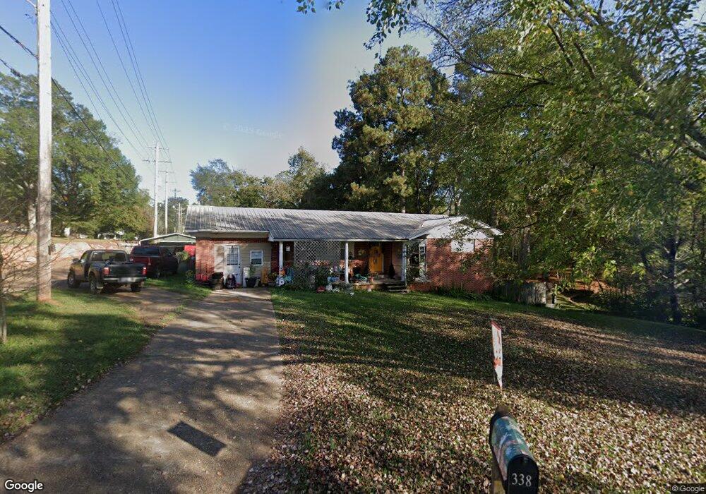
338 Byrd Ave S Philadelphia, MS 39350
Estimated Value: $113,543 - $164,000
--
Bed
--
Bath
2,148
Sq Ft
$65/Sq Ft
Est. Value
About This Home
This home is located at 338 Byrd Ave S, Philadelphia, MS 39350 and is currently estimated at $138,886, approximately $64 per square foot. 338 Byrd Ave S is a home with nearby schools including Philadelphia Elementary School, Philadelphia Middle School, and Philadelphia High School.
Ownership History
Date
Name
Owned For
Owner Type
Purchase Details
Closed on
Feb 11, 2014
Sold by
James W
Bought by
Dempsey Daniel L and Dempsey Alexis L
Current Estimated Value
Home Financials for this Owner
Home Financials are based on the most recent Mortgage that was taken out on this home.
Original Mortgage
$67,346
Outstanding Balance
$50,901
Interest Rate
4.42%
Mortgage Type
New Conventional
Estimated Equity
$87,985
Purchase Details
Closed on
Jul 1, 2011
Sold by
Gray James W and Coats Gail Gray
Bought by
Gray James W
Create a Home Valuation Report for This Property
The Home Valuation Report is an in-depth analysis detailing your home's value as well as a comparison with similar homes in the area
Home Values in the Area
Average Home Value in this Area
Purchase History
| Date | Buyer | Sale Price | Title Company |
|---|---|---|---|
| Dempsey Daniel L | -- | -- | |
| Gray James W | -- | -- |
Source: Public Records
Mortgage History
| Date | Status | Borrower | Loan Amount |
|---|---|---|---|
| Open | Dempsey Daniel L | $67,346 |
Source: Public Records
Tax History Compared to Growth
Tax History
| Year | Tax Paid | Tax Assessment Tax Assessment Total Assessment is a certain percentage of the fair market value that is determined by local assessors to be the total taxable value of land and additions on the property. | Land | Improvement |
|---|---|---|---|---|
| 2025 | $902 | $8,737 | $0 | $0 |
| 2024 | $902 | $8,737 | $0 | $0 |
| 2023 | $817 | $8,091 | $0 | $0 |
| 2022 | $817 | $8,091 | $0 | $0 |
| 2021 | $743 | $7,541 | $0 | $0 |
| 2020 | $739 | $7,541 | $0 | $0 |
| 2019 | $697 | $7,270 | $0 | $0 |
| 2018 | $686 | $7,270 | $0 | $0 |
| 2017 | $726 | $7,270 | $0 | $0 |
| 2016 | $726 | $7,270 | $0 | $0 |
| 2015 | -- | $7,216 | $0 | $0 |
| 2014 | -- | $10,824 | $0 | $0 |
Source: Public Records
Map
Nearby Homes
- 319 Range Ave
- 321 Range Ave
- 507 Poplar Ave
- 1133 Weyerhaeuser St
- 517 Holland Ave
- 521 Holland Ave
- 507 Dorothy St
- 423 Pecan Ave
- 531 State Ave
- 554 Poplar Ave
- 551 State Ave
- 553 State Ave
- 0 State Ave
- 519 Welch St
- 271A Byrd Ave
- 558 Holland Ave
- 414 Columbus Ave Unit A
- 437C Pecan Ave
- 457 Pecan Ave
- 100 Highway 19
- 513 Bay St E
- 313 Bay St W
- 311 Bay St W
- 318 Range Ave
- 315 Bay St W
- 533 Center Ave S
- 536 Center Ave S
- 532 Center Ave S
- 316 Bay St W
- 317 Breland St
- 326 S Peachtree Ave
- 538 Center Ave
- 524 Center Ave
- 318 Breland St
- 321 Breland St
- 319 Bay St W
- 302 S Peachtree Ave
- 316 W Beech St
- 534 Center Ave S
- 315 W Beech St