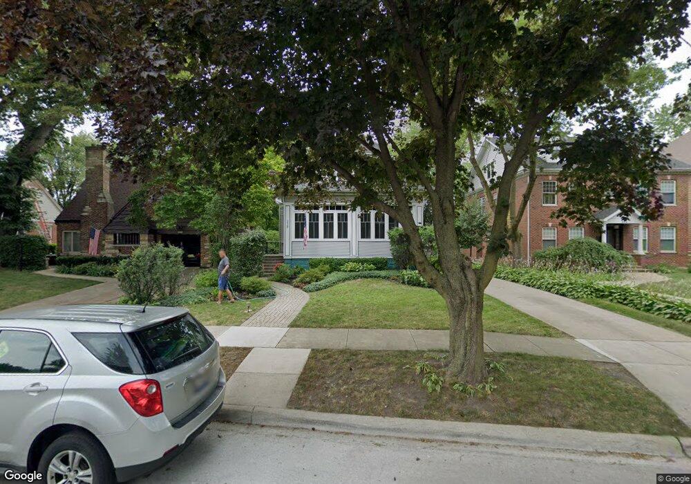
338 Downing Rd Riverside, IL 60546
Estimated Value: $578,350 - $771,000
4
Beds
2
Baths
2,600
Sq Ft
$263/Sq Ft
Est. Value
About This Home
This home is located at 338 Downing Rd, Riverside, IL 60546 and is currently estimated at $685,088, approximately $263 per square foot. 338 Downing Rd is a home located in Cook County with nearby schools including A F Ames Elementary School, L J Hauser Jr High School, and Riverside Brookfield High School.
Ownership History
Date
Name
Owned For
Owner Type
Purchase Details
Closed on
Oct 24, 2011
Sold by
Centorcelli Louis A and Stimming Mary T
Bought by
Santini Elyte and Santini Jamie
Current Estimated Value
Home Financials for this Owner
Home Financials are based on the most recent Mortgage that was taken out on this home.
Original Mortgage
$272,000
Outstanding Balance
$183,376
Interest Rate
4.09%
Mortgage Type
New Conventional
Estimated Equity
$501,712
Purchase Details
Closed on
Aug 7, 2000
Sold by
Shagg Dorothy A and Graves Dorothy A
Bought by
Centorcelli Louis A and Stimming Mary T
Home Financials for this Owner
Home Financials are based on the most recent Mortgage that was taken out on this home.
Original Mortgage
$240,000
Interest Rate
8.16%
Mortgage Type
Purchase Money Mortgage
Create a Home Valuation Report for This Property
The Home Valuation Report is an in-depth analysis detailing your home's value as well as a comparison with similar homes in the area
Home Values in the Area
Average Home Value in this Area
Purchase History
| Date | Buyer | Sale Price | Title Company |
|---|---|---|---|
| Santini Elyte | $320,000 | First American Title | |
| Centorcelli Louis A | -- | 1St American Title |
Source: Public Records
Mortgage History
| Date | Status | Borrower | Loan Amount |
|---|---|---|---|
| Open | Santini Elyte | $272,000 | |
| Previous Owner | Centorcelli Louis A | $240,000 |
Source: Public Records
Tax History
| Year | Tax Paid | Tax Assessment Tax Assessment Total Assessment is a certain percentage of the fair market value that is determined by local assessors to be the total taxable value of land and additions on the property. | Land | Improvement |
|---|---|---|---|---|
| 2025 | $11,735 | $40,001 | $14,218 | $25,783 |
| 2024 | $11,735 | $40,001 | $14,218 | $25,783 |
| 2023 | $10,490 | $40,001 | $14,218 | $25,783 |
| 2022 | $10,490 | $30,807 | $12,279 | $18,528 |
| 2021 | $10,112 | $30,806 | $12,278 | $18,528 |
| 2020 | $9,862 | $30,806 | $12,278 | $18,528 |
| 2019 | $11,494 | $36,087 | $11,309 | $24,778 |
| 2018 | $12,012 | $38,598 | $11,309 | $27,289 |
| 2017 | $11,643 | $38,598 | $11,309 | $27,289 |
| 2016 | $8,643 | $27,039 | $9,693 | $17,346 |
| 2015 | $8,402 | $27,039 | $9,693 | $17,346 |
| 2014 | $8,276 | $27,039 | $9,693 | $17,346 |
| 2013 | $9,163 | $32,000 | $9,693 | $22,307 |
Source: Public Records
Map
Nearby Homes
- 269 Shenstone Rd
- 231 Bartram Rd
- 101 Southcote Rd
- 315 Bartram Rd
- 410 Repton Rd
- 478 Kent Rd
- 369 Addison Rd
- 367 Bartram Rd
- 562 Byrd Rd
- 484 Shenstone Rd
- 475 Shenstone Rd Unit 104
- 475 Shenstone Rd Unit 304
- 475 Shenstone Rd Unit 303
- 305 Desplaines Ave
- 571 Byrd Rd
- 2817 Maple Ave
- 2527 Keystone Ave
- 8117 W 30th St
- 2433 Keystone Ave
- 2816 Wenonah Ave
Your Personal Tour Guide
Ask me questions while you tour the home.