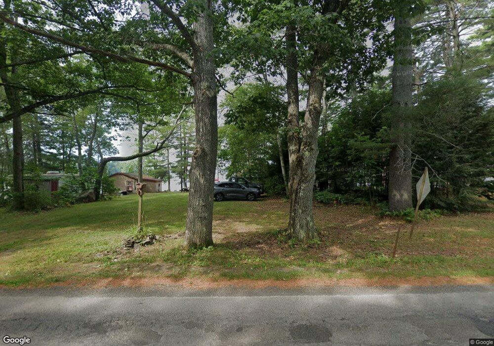
338 Durham Bridge Rd Newport, ME 04953
Estimated Value: $156,000 - $339,000
1
Bed
1
Bath
840
Sq Ft
$284/Sq Ft
Est. Value
About This Home
This home is located at 338 Durham Bridge Rd, Newport, ME 04953 and is currently estimated at $238,208, approximately $283 per square foot. 338 Durham Bridge Rd is a home with nearby schools including Sebasticook Valley Elementary School and Nokomis Regional Middle School/High School.
Create a Home Valuation Report for This Property
The Home Valuation Report is an in-depth analysis detailing your home's value as well as a comparison with similar homes in the area
Home Values in the Area
Average Home Value in this Area
Tax History Compared to Growth
Tax History
| Year | Tax Paid | Tax Assessment Tax Assessment Total Assessment is a certain percentage of the fair market value that is determined by local assessors to be the total taxable value of land and additions on the property. | Land | Improvement |
|---|---|---|---|---|
| 2024 | $2,314 | $132,200 | $69,000 | $63,200 |
| 2023 | $2,015 | $123,600 | $64,500 | $59,100 |
| 2022 | $1,917 | $97,800 | $51,000 | $46,800 |
| 2021 | $1,924 | $93,400 | $48,700 | $44,700 |
| 2020 | $1,889 | $91,700 | $47,800 | $43,900 |
| 2019 | $1,842 | $86,500 | $45,100 | $41,400 |
| 2018 | $1,842 | $86,500 | $45,100 | $41,400 |
| 2017 | $1,730 | $86,500 | $45,100 | $41,400 |
| 2016 | $1,678 | $86,500 | $45,100 | $41,400 |
| 2015 | $1,548 | $86,500 | $45,100 | $41,400 |
| 2014 | $1,488 | $86,500 | $45,100 | $41,400 |
Source: Public Records
Map
Nearby Homes
- 340 Durham Bridge Rd
- 344 Durham Bridge Rd
- 354 Durham Bridge Rd
- 356 Durham Bridge Rd
- M9 L32-2 Rutland Rd
- 10 Rutland Rd
- 2 Friendship Way
- 6 Folsom Dr
- 375 Durham Bridge Rd
- 29-7-2 Folsom Dr
- 10 Folsom Dr
- 10 Folsom Dr
- 40 Folsom Dr
- 7 Folsom Dr
- 0 Folsom Dr
- 48 Folsom Dr
- 380 Durham Bridge Rd
- 43 Folsom Dr
- 45 Folsom Dr
- 37 Folsom Dr