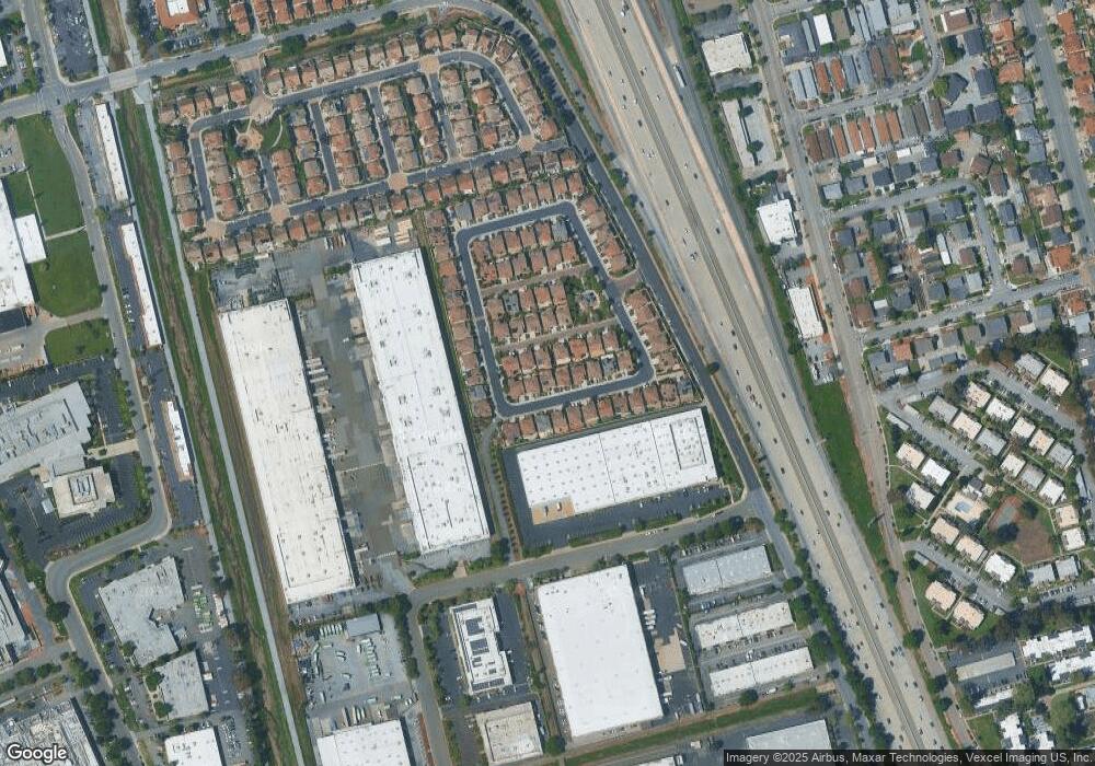
339 Gerald Cir Milpitas, CA 95035
Estimated Value: $1,929,057 - $2,241,000
4
Beds
3
Baths
2,295
Sq Ft
$917/Sq Ft
Est. Value
About This Home
This home is located at 339 Gerald Cir, Milpitas, CA 95035 and is currently estimated at $2,105,514, approximately $917 per square foot. 339 Gerald Cir is a home with nearby schools including Robert Randall Elementary School, Alexander Rose Elementary School, and Rancho Milpitas Middle School.
Ownership History
Date
Name
Owned For
Owner Type
Purchase Details
Closed on
Feb 28, 2015
Sold by
Pulavarthi Prasanth and Militar Sheryl Coloma
Bought by
Pulavarthi Prasanth and 201 Sheryl Militar
Current Estimated Value
Purchase Details
Closed on
Sep 6, 2013
Sold by
Brookfield Belcourt Llc
Bought by
Pulavarthi Prasant and Militar Sheryl Coloma
Home Financials for this Owner
Home Financials are based on the most recent Mortgage that was taken out on this home.
Original Mortgage
$639,654
Outstanding Balance
$454,785
Interest Rate
3.25%
Mortgage Type
Adjustable Rate Mortgage/ARM
Estimated Equity
$1,650,729
Create a Home Valuation Report for This Property
The Home Valuation Report is an in-depth analysis detailing your home's value as well as a comparison with similar homes in the area
Home Values in the Area
Average Home Value in this Area
Purchase History
| Date | Buyer | Sale Price | Title Company |
|---|---|---|---|
| Pulavarthi Prasanth | -- | None Available | |
| Pulavarthi Prasant | -- | First American Title Company |
Source: Public Records
Mortgage History
| Date | Status | Borrower | Loan Amount |
|---|---|---|---|
| Open | Pulavarthi Prasant | $639,654 |
Source: Public Records
Tax History
| Year | Tax Paid | Tax Assessment Tax Assessment Total Assessment is a certain percentage of the fair market value that is determined by local assessors to be the total taxable value of land and additions on the property. | Land | Improvement |
|---|---|---|---|---|
| 2025 | $13,464 | $1,136,410 | $612,928 | $523,482 |
| 2024 | $13,464 | $1,114,128 | $600,910 | $513,218 |
| 2023 | $13,410 | $1,092,283 | $589,128 | $503,155 |
| 2022 | $13,329 | $1,070,867 | $577,577 | $493,290 |
| 2021 | $13,117 | $1,049,870 | $566,252 | $483,618 |
| 2020 | $12,887 | $1,039,106 | $560,446 | $478,660 |
| 2019 | $12,730 | $1,018,732 | $549,457 | $469,275 |
| 2018 | $12,091 | $998,758 | $538,684 | $460,074 |
| 2017 | $11,924 | $979,175 | $528,122 | $451,053 |
| 2016 | $11,446 | $959,976 | $517,767 | $442,209 |
| 2015 | $11,322 | $945,557 | $509,990 | $435,567 |
| 2014 | $10,636 | $927,035 | $500,000 | $427,035 |
Source: Public Records
Map
Nearby Homes
- 808 Cameron Cir
- 484 Dempsey Rd Unit 186
- 496 Dempsey Rd Unit 199
- 397 S Park Victoria Dr
- 1260 Glacier Dr
- 137 Caladenia Ln
- 136 Lawton Dr
- 1490 Mount Diablo Ave
- 258 Lynn Ave
- 839 Harmony Place Unit 126
- 25 Terfidia Ln
- 1430 Cuciz Ln
- 672 Amalfi Loop
- 45 Parc Place Dr Unit RU2808
- 0 Railroad Ave
- Sana Plan at
- Myra Plan at
- Sana Elite Plan at
- 885 Spirit Walk Unit 243
- 646 S Main St
Your Personal Tour Guide
Ask me questions while you tour the home.
