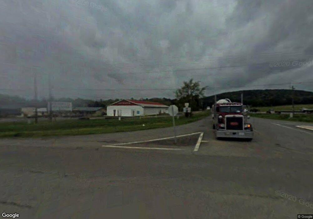
339 Highway 330 E Clinton, AR 72031
Estimated Value: $60,000 - $146,892
--
Bed
1
Bath
1,567
Sq Ft
$67/Sq Ft
Est. Value
About This Home
This home is located at 339 Highway 330 E, Clinton, AR 72031 and is currently estimated at $104,723, approximately $66 per square foot. 339 Highway 330 E is a home with nearby schools including Clinton Elementary School, Clinton Junior High School, and Clinton High School.
Ownership History
Date
Name
Owned For
Owner Type
Purchase Details
Closed on
Nov 20, 2023
Sold by
Bank Of Ny Mellon
Bought by
Snow Timothy
Current Estimated Value
Purchase Details
Closed on
Jun 23, 2022
Sold by
Drew Spurlock Robert
Bought by
Bank Of New York
Purchase Details
Closed on
Jun 13, 2007
Sold by
Shannon Rebecca Stephens and Shannon Sam
Bought by
Spurlock Robert Drew
Purchase Details
Closed on
Apr 29, 2005
Sold by
Stephens Richard Kidd
Bought by
Spurlock Robert Drew
Home Financials for this Owner
Home Financials are based on the most recent Mortgage that was taken out on this home.
Original Mortgage
$89,500
Interest Rate
6.03%
Mortgage Type
New Conventional
Purchase Details
Closed on
May 10, 2001
Bought by
Richard
Purchase Details
Closed on
May 9, 2001
Bought by
Richard and Rebecca
Create a Home Valuation Report for This Property
The Home Valuation Report is an in-depth analysis detailing your home's value as well as a comparison with similar homes in the area
Home Values in the Area
Average Home Value in this Area
Purchase History
| Date | Buyer | Sale Price | Title Company |
|---|---|---|---|
| Snow Timothy | $49,900 | Waco Title | |
| Bank Of New York | $82,600 | Mickel Law Firm Pa | |
| Spurlock Robert Drew | $4,000 | None Available | |
| Spurlock Robert Drew | $90,000 | None Available | |
| Richard | -- | -- | |
| Richard | -- | -- |
Source: Public Records
Mortgage History
| Date | Status | Borrower | Loan Amount |
|---|---|---|---|
| Previous Owner | Spurlock Robert Drew | $89,500 |
Source: Public Records
Tax History Compared to Growth
Tax History
| Year | Tax Paid | Tax Assessment Tax Assessment Total Assessment is a certain percentage of the fair market value that is determined by local assessors to be the total taxable value of land and additions on the property. | Land | Improvement |
|---|---|---|---|---|
| 2024 | $631 | $14,300 | $1,500 | $12,800 |
| 2023 | $681 | $14,300 | $1,500 | $12,800 |
| 2022 | $681 | $14,300 | $1,500 | $12,800 |
| 2021 | $306 | $14,300 | $1,500 | $12,800 |
| 2020 | $306 | $14,300 | $1,500 | $12,800 |
| 2019 | $429 | $16,860 | $1,500 | $15,360 |
| 2018 | $454 | $16,860 | $1,500 | $15,360 |
| 2017 | $737 | $16,860 | $1,500 | $15,360 |
| 2015 | -- | $17,310 | $1,500 | $15,810 |
| 2014 | -- | $17,310 | $1,500 | $15,810 |
| 2013 | -- | $17,310 | $1,500 | $15,810 |
Source: Public Records
Map
Nearby Homes
- 352 Arkansas 9
- 4263 Highway 65 S
- 112 Cedar Crest Dr
- Lot #4 Lynch Dr
- Lot 3 Lynch Dr
- Lot #2 Lynch Dr
- 191 Cedar Crest Dr
- Lot 9 &10 Kip Ln
- 333 Kip Ln
- 504 Boar Rd
- 3570 Highway 65 S
- 1798 E Highway 330
- 0 Newton Rd
- 936 Cemetery Rd
- 000 Hwy 330 E
- 3008 Highway 65 S
- 1639 Highway 65 S
- 420 Shadow Ln
- 579 H St
- 0 Highway 65 S Unit 20037632
- 279 Highway 330 E
- 279 State Highway 330
- 279 Hwy 330 E
- 266 Highway 330 E
- 294 Highway 330 E
- 282 Highway 330 E
- 208 Highway 330 E
- 201 Highway 330 E
- 173 Highway 330 E
- 173 State Highway 330
- 190 Stephens St Unit DAN
- 226 Terry Ln
- 191 Dan Stephens Dr
- 352 Highway 330 E
- 151 Stephens St Unit DAN
- 1101 Highway 330 E
- 2424 State Highway 330
- 4711 Highway 65 S
- 274 Wanda Ave
- 281 Wanda Ave
