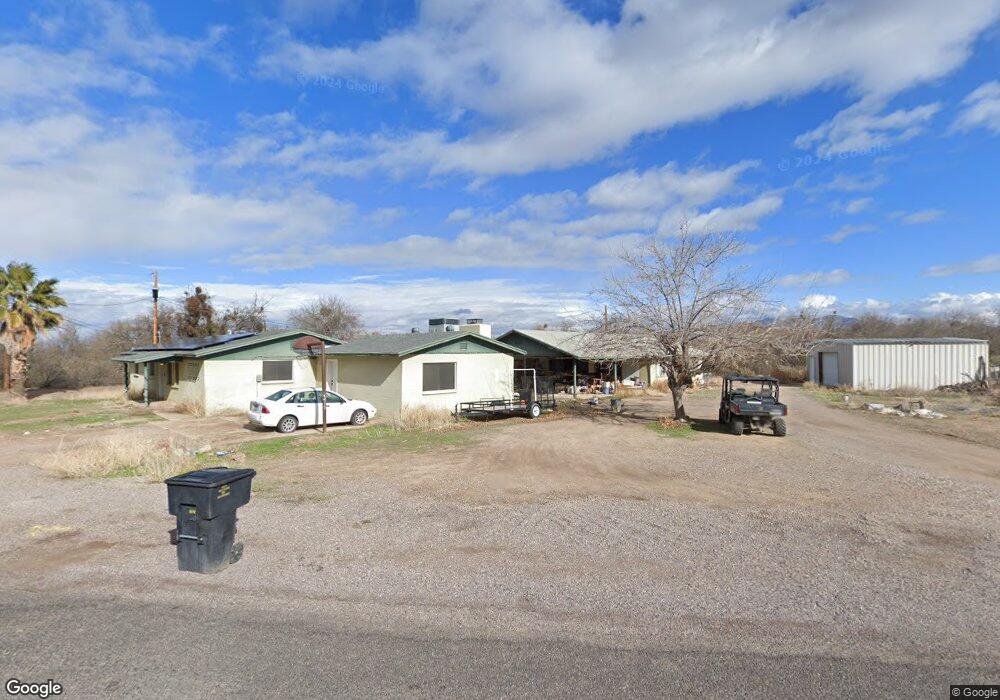
3392 W Mullins Ln Thatcher, AZ 85552
Estimated Value: $225,000 - $366,000
--
Bed
--
Bath
3,494
Sq Ft
$84/Sq Ft
Est. Value
About This Home
This home is located at 3392 W Mullins Ln, Thatcher, AZ 85552 and is currently estimated at $293,476, approximately $83 per square foot. 3392 W Mullins Ln is a home with nearby schools including Jack Daley Primary School, Thatcher Elementary School, and Thatcher Middle School.
Ownership History
Date
Name
Owned For
Owner Type
Purchase Details
Closed on
Mar 5, 2018
Sold by
Layton Paula
Bought by
Layton Lance F and Layton Sherri D
Current Estimated Value
Home Financials for this Owner
Home Financials are based on the most recent Mortgage that was taken out on this home.
Original Mortgage
$163,900
Interest Rate
4.32%
Mortgage Type
New Conventional
Create a Home Valuation Report for This Property
The Home Valuation Report is an in-depth analysis detailing your home's value as well as a comparison with similar homes in the area
Home Values in the Area
Average Home Value in this Area
Purchase History
| Date | Buyer | Sale Price | Title Company |
|---|---|---|---|
| Layton Lance F | -- | None Available |
Source: Public Records
Mortgage History
| Date | Status | Borrower | Loan Amount |
|---|---|---|---|
| Previous Owner | Layton Lance F | $163,900 |
Source: Public Records
Tax History Compared to Growth
Tax History
| Year | Tax Paid | Tax Assessment Tax Assessment Total Assessment is a certain percentage of the fair market value that is determined by local assessors to be the total taxable value of land and additions on the property. | Land | Improvement |
|---|---|---|---|---|
| 2026 | $1,283 | -- | -- | -- |
| 2025 | $1,283 | $25,228 | $5,697 | $19,531 |
| 2024 | $1,261 | $24,759 | $5,064 | $19,695 |
| 2023 | $1,261 | $20,109 | $4,245 | $15,864 |
| 2022 | $1,201 | $17,634 | $3,630 | $14,004 |
| 2021 | $1,004 | $0 | $0 | $0 |
| 2020 | $1,959 | $0 | $0 | $0 |
| 2019 | $2,016 | $0 | $0 | $0 |
| 2018 | $1,955 | $0 | $0 | $0 |
| 2017 | $1,883 | $0 | $0 | $0 |
| 2016 | $2,057 | $0 | $0 | $0 |
| 2015 | $1,915 | $0 | $0 | $0 |
Source: Public Records
Map
Nearby Homes
- 395 S Coleman Ln
- 3227 W Mullins Ln
- 2914 W Johnny Dr
- 2926 W Johnny Dr
- 2889 W Johnny Dr
- 2901 W Johnny Dr
- 2913 W Johnny Dr
- 417 N 1st Ave
- 2972 W Michaud Ln
- 508 Eagle Meadow Loop
- 2911 Joshua
- 2926 Joshua
- 849 S Lucille
- 3122 Bryce Canyon Ln
- 4087 Cotton Valley Cir
- 0 Tbd Parcels 104-23-032l & 032k Unit 22514614
- 1672 S Cactus Wren Ln
- 3996 W Main St
- 3541 Barbara Ln
- 1532 N Porter Ln
- 3338 W Mullins Ln
- 3385 W Mullins Ln
- 346 S Coleman Ln
- 408 S Coleman Ln
- 3341 W Mullins Ln
- 426 S Coleman Ln
- 3291 W Mullins Ln
- 3242 W Mullins Ln
- 3226 W Mullins Ln
- 487 S Dusty Trail
- 491 S Robbie Ln
- 455 S Robbie Ln
- 3535 W Robbie Ln
- 3194 W Mullins Ln
- 513 S Dusty Trail
- 562 S Dusty Trail
- 410 S Robbie Ln
- 410 S Robbie Ln
- 430 S Robbie Ln
- 472 S Robbie Ln