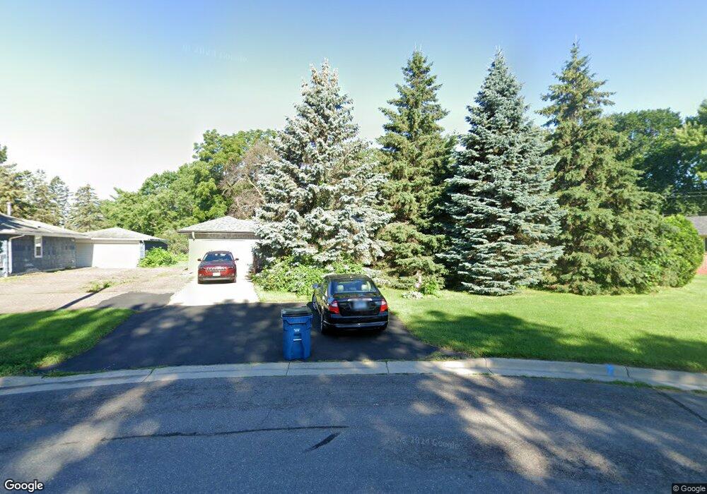
3399 Payne Ave Saint Paul, MN 55127
Estimated Value: $320,000 - $359,000
3
Beds
2
Baths
708
Sq Ft
$482/Sq Ft
Est. Value
About This Home
This home is located at 3399 Payne Ave, Saint Paul, MN 55127 and is currently estimated at $341,266, approximately $482 per square foot. 3399 Payne Ave is a home located in Ramsey County with nearby schools including Vadnais Heights Elementary School, Sunrise Park Middle School, and AFSA High School.
Ownership History
Date
Name
Owned For
Owner Type
Purchase Details
Closed on
Jan 27, 2020
Sold by
Fredrickson Robert P and Fredrickson Jane M
Bought by
Ryan Michael and Pearson Meridith
Current Estimated Value
Home Financials for this Owner
Home Financials are based on the most recent Mortgage that was taken out on this home.
Original Mortgage
$249,399
Outstanding Balance
$221,244
Interest Rate
3.7%
Mortgage Type
FHA
Estimated Equity
$120,022
Purchase Details
Closed on
May 29, 1997
Sold by
Stolle Arlin G and Stolle Mary Lou
Bought by
Boog Jane M
Create a Home Valuation Report for This Property
The Home Valuation Report is an in-depth analysis detailing your home's value as well as a comparison with similar homes in the area
Home Values in the Area
Average Home Value in this Area
Purchase History
| Date | Buyer | Sale Price | Title Company |
|---|---|---|---|
| Ryan Michael | $254,000 | Trademark Title Services Inc | |
| Boog Jane M | $114,900 | -- |
Source: Public Records
Mortgage History
| Date | Status | Borrower | Loan Amount |
|---|---|---|---|
| Open | Ryan Michael | $249,399 |
Source: Public Records
Tax History Compared to Growth
Tax History
| Year | Tax Paid | Tax Assessment Tax Assessment Total Assessment is a certain percentage of the fair market value that is determined by local assessors to be the total taxable value of land and additions on the property. | Land | Improvement |
|---|---|---|---|---|
| 2025 | $4,100 | $329,200 | $74,800 | $254,400 |
| 2023 | $4,100 | $318,000 | $74,800 | $243,200 |
| 2022 | $3,234 | $281,900 | $74,800 | $207,100 |
| 2021 | $3,452 | $245,800 | $74,800 | $171,000 |
| 2020 | $3,432 | $268,400 | $74,800 | $193,600 |
| 2019 | $3,052 | $237,500 | $74,800 | $162,700 |
| 2018 | $2,414 | $226,400 | $74,800 | $151,600 |
| 2017 | $2,270 | $196,900 | $86,700 | $110,200 |
| 2016 | $2,516 | $0 | $0 | $0 |
| 2015 | $2,514 | $169,000 | $86,700 | $82,300 |
| 2014 | $2,382 | $0 | $0 | $0 |
Source: Public Records
Map
Nearby Homes
- 3329 Greenbrier St
- 731 Berwood Ave
- 696 Monn Ave
- 698 Monn Ave
- 3300 Greenbrier St Unit 3300C
- 697 Parkside Dr Unit 697H
- 3230 Edgerton St
- 565 Oak Creek Dr S
- 3309 Nathaniel Ct
- 3611 Edgerton St
- 680 Koehler Rd
- 832 Woodgate Dr Unit 107
- 3172 Centerville Rd
- 441 Mario Dr
- 439 Mario Dr
- 3015 Basswood St
- Revere Plan at Pioneer Commons - Colonial Manor Collection
- Franklin Plan at Pioneer Commons - Colonial Manor Collection
- Raleigh Plan at Pioneer Commons - Liberty Collection
- St.Clair Plan at Pioneer Commons - Liberty Collection
- 3407 Payne Ave
- 3381 Payne Ave
- XXX Centerville Rd
- 626 Hiawatha Ave
- 627 Hiawatha Ave
- 634 Hiawatha Ave
- 607 Berwood Ave
- 613 Berwood Ave
- 613 W Berwood Ave
- 599 Berwood Ave
- 613 613 Berwood-Avenue-
- 613 613 Berwood Ave
- 607 607 Berwood Ave
- 627 Berwood Ave
- 593 Berwood Ave
- 642 Hiawatha Ave
- 641 Hiawatha Ave
- 633 Berwood Ave
- 633 633 Berwood Ave
- 641 Berwood Ave