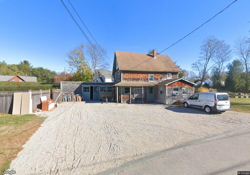
34 Black Point Rd Niantic, CT 06357
Niantic NeighborhoodEstimated Value: $314,242
2
Beds
1
Bath
2,966
Sq Ft
$106/Sq Ft
Est. Value
About This Home
This home is located at 34 Black Point Rd, Niantic, CT 06357 and is currently estimated at $314,242, approximately $105 per square foot. 34 Black Point Rd is a home located in New London County with nearby schools including East Lyme Middle School, East Lyme High School, and The Light House Voc-Ed Center.
Ownership History
Date
Name
Owned For
Owner Type
Purchase Details
Closed on
Nov 24, 1997
Sold by
Kelley Dawn M
Bought by
Lewis David W
Current Estimated Value
Home Financials for this Owner
Home Financials are based on the most recent Mortgage that was taken out on this home.
Original Mortgage
$85,000
Outstanding Balance
$12,694
Interest Rate
5.88%
Mortgage Type
Commercial
Estimated Equity
$301,548
Create a Home Valuation Report for This Property
The Home Valuation Report is an in-depth analysis detailing your home's value as well as a comparison with similar homes in the area
Home Values in the Area
Average Home Value in this Area
Purchase History
| Date | Buyer | Sale Price | Title Company |
|---|---|---|---|
| Lewis David W | $90,000 | -- |
Source: Public Records
Mortgage History
| Date | Status | Borrower | Loan Amount |
|---|---|---|---|
| Open | Lewis David W | $85,000 |
Source: Public Records
Tax History
| Year | Tax Paid | Tax Assessment Tax Assessment Total Assessment is a certain percentage of the fair market value that is determined by local assessors to be the total taxable value of land and additions on the property. | Land | Improvement |
|---|---|---|---|---|
| 2025 | $5,488 | $195,930 | $50,400 | $145,530 |
| 2024 | $5,163 | $195,930 | $50,400 | $145,530 |
| 2023 | $4,875 | $195,930 | $50,400 | $145,530 |
| 2022 | $4,671 | $195,930 | $50,400 | $145,530 |
| 2021 | $5,402 | $189,490 | $58,170 | $131,320 |
| 2020 | $5,374 | $189,490 | $58,170 | $131,320 |
| 2019 | $5,342 | $189,490 | $58,170 | $131,320 |
| 2018 | $5,183 | $189,490 | $58,170 | $131,320 |
| 2017 | $4,957 | $189,490 | $58,170 | $131,320 |
| 2016 | $4,605 | $181,580 | $54,320 | $127,260 |
| 2015 | $4,487 | $181,580 | $54,320 | $127,260 |
| 2014 | $4,363 | $181,580 | $54,320 | $127,260 |
Source: Public Records
Map
Nearby Homes
- 468 Main St Unit 318
- 468 Main St Unit 111
- 43 Village Crossing Unit 43
- 42 S Washington Ave
- 47 Village Crossing Unit 47
- 46 Village Crossing Unit 46
- 127 Black Point Rd Unit 7
- 185 Main St Unit 301
- 185 Main St Unit 305
- 36 Attawan Rd
- 97 W Main St Unit 36
- 26 Mohawk Dr
- 37 Stoneywood Dr
- 19 Sapia Dr
- 12 Spinnaker Dr
- 43 Roxbury Ct
- 55 Corey Ln
- 47 Oswegatchie Hills Rd
- 82 Roxbury Rd
- 80 Roxbury Rd
- 38 Black Point Rd
- 28 Crossley Ct
- 30 Black Point Rd
- 30R Black Point Rd
- 15 Crossley Ct
- 36 Black Point Rd
- 37 Black Point Rd
- 26 Black Point Rd
- 44 Black Point Rd
- 29 Black Point Rd
- 11 Crossley Ct
- 39 Black Point Rd
- 27 Black Point Rd
- 5 Crossley Ct
- 9 Crossley Ct
- 3 Crossley Ct
- 6 Faulkner Dr
- 32 Black Point Rd
- 22 Black Point Rd
- 24 Crossley Ct
Your Personal Tour Guide
Ask me questions while you tour the home.