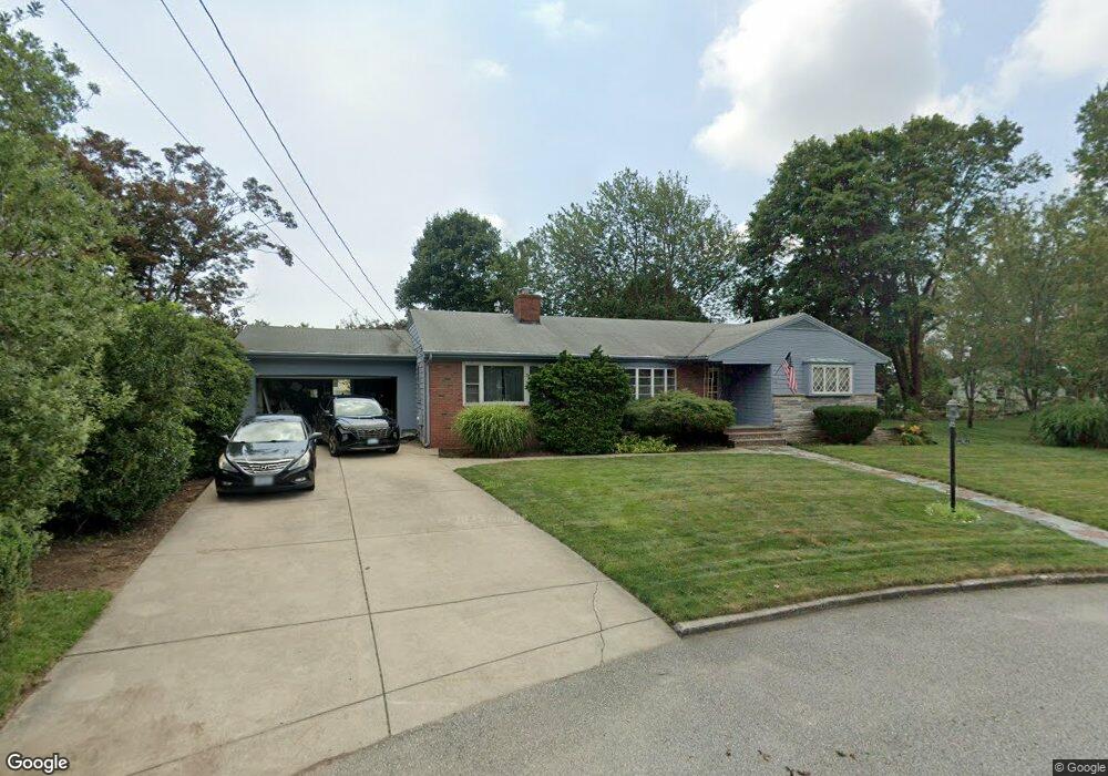
34 E Bel Air Rd Cranston, RI 02920
Meshanticut NeighborhoodEstimated Value: $610,773 - $830,000
3
Beds
2
Baths
2,120
Sq Ft
$339/Sq Ft
Est. Value
About This Home
This home is located at 34 E Bel Air Rd, Cranston, RI 02920 and is currently estimated at $718,193, approximately $338 per square foot. 34 E Bel Air Rd is a home located in Providence County with nearby schools including Glen Hills School, Western Hills Middle School, and Cranston High School West.
Ownership History
Date
Name
Owned For
Owner Type
Purchase Details
Closed on
Oct 29, 2002
Sold by
Caraccia Joseph A and Caraccia Eileen
Bought by
Adam Donna and Adam Kenneth
Current Estimated Value
Home Financials for this Owner
Home Financials are based on the most recent Mortgage that was taken out on this home.
Original Mortgage
$160,700
Interest Rate
6.2%
Create a Home Valuation Report for This Property
The Home Valuation Report is an in-depth analysis detailing your home's value as well as a comparison with similar homes in the area
Home Values in the Area
Average Home Value in this Area
Purchase History
| Date | Buyer | Sale Price | Title Company |
|---|---|---|---|
| Adam Donna | $298,000 | -- |
Source: Public Records
Mortgage History
| Date | Status | Borrower | Loan Amount |
|---|---|---|---|
| Open | Adam Donna | $203,500 | |
| Closed | Adam Donna | $60,000 | |
| Closed | Adam Donna | $160,700 | |
| Previous Owner | Adam Donna | $150,000 |
Source: Public Records
Tax History
| Year | Tax Paid | Tax Assessment Tax Assessment Total Assessment is a certain percentage of the fair market value that is determined by local assessors to be the total taxable value of land and additions on the property. | Land | Improvement |
|---|---|---|---|---|
| 2025 | $7,631 | $549,800 | $163,000 | $386,800 |
| 2024 | $7,483 | $549,800 | $163,000 | $386,800 |
| 2023 | $7,390 | $391,000 | $116,500 | $274,500 |
| 2022 | $7,237 | $391,000 | $116,500 | $274,500 |
| 2021 | $7,038 | $391,000 | $116,500 | $274,500 |
| 2020 | $6,833 | $329,000 | $120,700 | $208,300 |
| 2019 | $6,833 | $329,000 | $120,700 | $208,300 |
| 2018 | $6,675 | $329,000 | $120,700 | $208,300 |
| 2017 | $6,632 | $289,100 | $112,400 | $176,700 |
| 2016 | $6,490 | $289,100 | $112,400 | $176,700 |
| 2015 | $6,490 | $289,100 | $112,400 | $176,700 |
| 2014 | $6,557 | $287,100 | $120,700 | $166,400 |
Source: Public Records
Map
Nearby Homes
- 51 E Bel Air Rd
- 11 W Blue Ridge Rd
- 175 Hoffman Ave Unit 102
- 275 Meshanticut Valley Pkwy
- 210 Summit Dr
- 217 Belvedere Dr
- 214 Meshanticut Valley Pkwy
- 7 Oak Tree Ln
- 55 Cypress Dr
- 203 Dean Ridge Ct
- 141 Glen Ridge Rd
- 29 Poppy Dr
- 135 Meshanticut Valley Pkwy
- 24 Elm Cir
- 157 Sweetbriar Dr
- 29 Valley St
- 27 Shean St
- 127 Dellwood Rd
- 47 Bretton Woods Dr
- 58 Meredith Dr
- 28 E Bel Air Rd
- 45 Glen View Dr
- 42 E Bel Air Rd
- 15 Park Forest Rd
- 39 Glen View Dr
- 55 Glen View Dr
- 23 Park Forest Rd
- 39 E Bel Air Rd
- 20 E Bel Air Rd
- 45 E Bel Air Rd
- 31 Glen View Dr
- 50 E Bel Air Rd
- 31 Park Forest Rd
- 18 Blue Ridge Rd
- 14 E Bel Air Rd
- 14 Park Forest Rd
- 24 Park Forest Rd
- 25 Glen View Dr
- 67 Glen View Dr
- 11 E Bel Air Rd
Your Personal Tour Guide
Ask me questions while you tour the home.