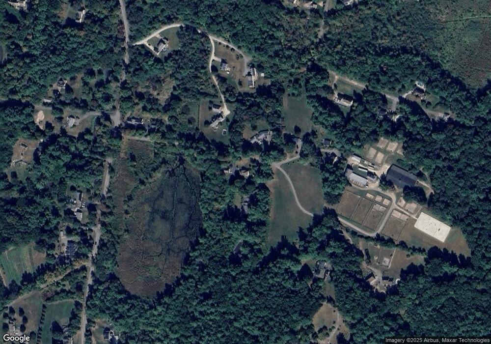
34 Elm St Unit A Pepperell, MA 01463
Estimated Value: $620,000 - $1,135,197
2
Beds
2
Baths
1,915
Sq Ft
$461/Sq Ft
Est. Value
About This Home
This home is located at 34 Elm St Unit A, Pepperell, MA 01463 and is currently estimated at $883,549, approximately $461 per square foot. 34 Elm St Unit A is a home located in Middlesex County with nearby schools including North Middlesex Regional High School, Pepperell Christian Academy, and Maple Dene & Moppet School.
Ownership History
Date
Name
Owned For
Owner Type
Purchase Details
Closed on
Apr 1, 2005
Sold by
Hardy Dorothy A
Bought by
Spengler Linda J and Spengler Mark K
Current Estimated Value
Home Financials for this Owner
Home Financials are based on the most recent Mortgage that was taken out on this home.
Original Mortgage
$550,000
Outstanding Balance
$280,684
Interest Rate
5.61%
Mortgage Type
Purchase Money Mortgage
Estimated Equity
$602,865
Purchase Details
Closed on
Dec 19, 1997
Sold by
Kblp Vii Inc
Bought by
Hardy Dana P and Hardy Dorothy A
Create a Home Valuation Report for This Property
The Home Valuation Report is an in-depth analysis detailing your home's value as well as a comparison with similar homes in the area
Home Values in the Area
Average Home Value in this Area
Purchase History
| Date | Buyer | Sale Price | Title Company |
|---|---|---|---|
| Spengler Linda J | $875,000 | -- | |
| Hardy Dana P | $125,000 | -- | |
| Hardy Dana P | $125,000 | -- |
Source: Public Records
Mortgage History
| Date | Status | Borrower | Loan Amount |
|---|---|---|---|
| Open | Spengler Linda J | $550,000 | |
| Previous Owner | Hardy Dana P | $200,000 |
Source: Public Records
Tax History Compared to Growth
Tax History
| Year | Tax Paid | Tax Assessment Tax Assessment Total Assessment is a certain percentage of the fair market value that is determined by local assessors to be the total taxable value of land and additions on the property. | Land | Improvement |
|---|---|---|---|---|
| 2025 | $10,239 | $699,851 | $187,251 | $512,600 |
| 2024 | $9,809 | $683,555 | $170,955 | $512,600 |
| 2023 | $10,107 | $667,555 | $154,955 | $512,600 |
| 2022 | $9,823 | $572,764 | $138,364 | $434,400 |
| 2021 | $9,795 | $546,579 | $121,979 | $424,600 |
| 2020 | $9,327 | $549,279 | $121,979 | $427,300 |
| 2019 | $8,956 | $539,816 | $127,916 | $411,900 |
| 2018 | $8,490 | $517,979 | $121,979 | $396,000 |
| 2017 | $8,046 | $506,369 | $182,969 | $323,400 |
| 2016 | $8,098 | $489,869 | $182,969 | $306,900 |
| 2015 | $7,622 | $477,869 | $170,969 | $306,900 |
| 2014 | $7,466 | $470,769 | $170,969 | $299,800 |
Source: Public Records
Map
Nearby Homes
- 38 River Rd Unit 11
- 6 Mason St Unit 31
- 31 Heald St
- 10 Tucker St
- 35 Hollis St Unit 1
- 31 Prospect St
- 4 Parker Hill Way Unit C
- 28-30 Groton St
- 7 Maureens Way
- 55 Park St
- 9 Tarbell St
- 38 Tarbell St Unit 5B
- 120 Townsend St Unit 1
- 18 Maple St Unit 14
- 18 Maple St Unit 30
- 154 Townsend St
- 10 Boynton St
- 20 A Legacy Ln Unit 20A
- 208 North St
- 44 Nod Rd
