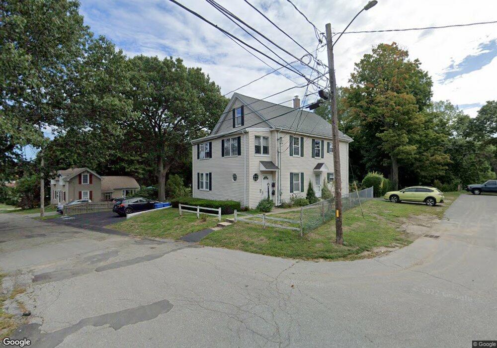
34 Flood St Unit 2 Waltham, MA 02453
South Side NeighborhoodEstimated Value: $934,000 - $1,081,000
2
Beds
1
Bath
680
Sq Ft
$1,460/Sq Ft
Est. Value
About This Home
This home is located at 34 Flood St Unit 2, Waltham, MA 02453 and is currently estimated at $992,785, approximately $1,459 per square foot. 34 Flood St Unit 2 is a home located in Middlesex County with nearby schools including Henry Whittemore Elementary School, John W. Mcdevitt Middle School, and Waltham Sr High School.
Ownership History
Date
Name
Owned For
Owner Type
Purchase Details
Closed on
Mar 31, 2022
Sold by
Callahan Carol A
Bought by
Callahan Mary A and Callahan Ann M
Current Estimated Value
Purchase Details
Closed on
Aug 24, 1973
Bought by
Callahan William R and Carol Ann M
Create a Home Valuation Report for This Property
The Home Valuation Report is an in-depth analysis detailing your home's value as well as a comparison with similar homes in the area
Home Values in the Area
Average Home Value in this Area
Purchase History
| Date | Buyer | Sale Price | Title Company |
|---|---|---|---|
| Callahan Mary A | -- | None Available | |
| Callahan William R | $40,000 | -- |
Source: Public Records
Tax History Compared to Growth
Tax History
| Year | Tax Paid | Tax Assessment Tax Assessment Total Assessment is a certain percentage of the fair market value that is determined by local assessors to be the total taxable value of land and additions on the property. | Land | Improvement |
|---|---|---|---|---|
| 2025 | $8,409 | $856,300 | $417,000 | $439,300 |
| 2024 | $7,843 | $813,600 | $417,000 | $396,600 |
| 2023 | $7,836 | $759,300 | $379,900 | $379,400 |
| 2022 | $7,927 | $711,600 | $346,900 | $364,700 |
| 2021 | $6,727 | $649,500 | $313,800 | $335,700 |
| 2020 | $7,299 | $610,800 | $297,300 | $313,500 |
| 2019 | $6,359 | $553,400 | $294,300 | $259,100 |
| 2018 | $6,369 | $505,100 | $272,500 | $232,600 |
| 2017 | $6,034 | $480,400 | $247,800 | $232,600 |
| 2016 | $5,525 | $451,400 | $218,800 | $232,600 |
| 2015 | $5,390 | $410,500 | $214,700 | $195,800 |
Source: Public Records
Map
Nearby Homes
- 9 John St
- 39 Clinton St Unit 2
- 39 Clinton St Unit 1
- 176 River St
- 180 River St Unit 9
- 76 Taft Ave Unit 1
- 76 Taft Ave
- 76 Taft Ave Unit 2
- 162 Myrtle St Unit 1
- 76 Harding St
- 28-32 Calvary St
- 308 Newton St Unit 1
- 240 River St
- 138 Myrtle St Unit 2
- 312 Newton St Unit 1A
- 75 Cherry St
- 266-274 River St
- 10 Naviens Ln Unit 2
- 97 North St
- 1 Farwell Cir
- 34 Flood St
- 26 Flood St
- 34 John St Unit 2
- 34 John St Unit 4
- 34 John St Unit 1
- 34 John St Unit 3
- 34 John St Unit 5
- 34 John St Unit 6
- 34 John St
- 33 John St
- 25 Flood St
- 29 John St
- 21 Flood St
- 20 Flood St Unit 6
- 20 Flood St Unit 5
- 20 Flood St Unit 4
- 20 Flood St Unit 3
- 20 Flood St Unit 2
- 20 Flood St Unit 1
- 20 Flood Stree Unit 6