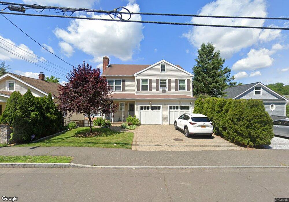
34 Pemberwick Rd Greenwich, CT 06831
Pemberwick NeighborhoodEstimated Value: $945,000 - $1,155,000
3
Beds
4
Baths
2,100
Sq Ft
$495/Sq Ft
Est. Value
About This Home
This home is located at 34 Pemberwick Rd, Greenwich, CT 06831 and is currently estimated at $1,040,224, approximately $495 per square foot. 34 Pemberwick Rd is a home located in Fairfield County with nearby schools including Hamilton Avenue School, Western Middle School, and Greenwich High School.
Ownership History
Date
Name
Owned For
Owner Type
Purchase Details
Closed on
Jun 8, 1992
Sold by
Hubbard Malvern and Hubbard Burnice
Bought by
Arcuri Eugene and Arcuri Carolyn
Current Estimated Value
Home Financials for this Owner
Home Financials are based on the most recent Mortgage that was taken out on this home.
Original Mortgage
$250,000
Interest Rate
8.8%
Mortgage Type
Unknown
Create a Home Valuation Report for This Property
The Home Valuation Report is an in-depth analysis detailing your home's value as well as a comparison with similar homes in the area
Home Values in the Area
Average Home Value in this Area
Purchase History
| Date | Buyer | Sale Price | Title Company |
|---|---|---|---|
| Arcuri Eugene | $312,500 | -- |
Source: Public Records
Mortgage History
| Date | Status | Borrower | Loan Amount |
|---|---|---|---|
| Open | Arcuri Eugene | $500,000 | |
| Closed | Arcuri Eugene | $234,200 | |
| Closed | Arcuri Eugene | $250,000 |
Source: Public Records
Tax History Compared to Growth
Tax History
| Year | Tax Paid | Tax Assessment Tax Assessment Total Assessment is a certain percentage of the fair market value that is determined by local assessors to be the total taxable value of land and additions on the property. | Land | Improvement |
|---|---|---|---|---|
| 2025 | $6,568 | $531,440 | $291,830 | $239,610 |
| 2024 | $6,343 | $531,440 | $291,830 | $239,610 |
| 2023 | $6,184 | $531,440 | $291,830 | $239,610 |
| 2022 | $6,128 | $531,440 | $291,830 | $239,610 |
| 2021 | $4,887 | $405,930 | $214,760 | $191,170 |
| 2020 | $4,879 | $405,930 | $214,760 | $191,170 |
| 2019 | $4,928 | $405,930 | $214,760 | $191,170 |
| 2018 | $4,818 | $405,930 | $214,760 | $191,170 |
| 2017 | $4,879 | $405,930 | $214,760 | $191,170 |
| 2016 | $4,802 | $405,930 | $214,760 | $191,170 |
| 2015 | $4,454 | $373,520 | $235,760 | $137,760 |
| 2014 | $4,342 | $373,520 | $235,760 | $137,760 |
Source: Public Records
Map
Nearby Homes
- 38 Riverdale Ave
- 238 Madison Ave
- 41 Chapel St
- 70 Byram Terrace Dr
- 180 Madison Ave
- 8 Reynolds Place
- 3 Green Ln
- 531 1/2 Willett Ave
- 14 Sherman Ave
- 107 Pemberwick Rd
- 30 Sherman Ave
- 95 Byram Rd
- 340 Locust Ave
- 52 Almira Dr Unit D
- 28 1/2 Pilgrim Dr
- 53 Linden St
- 40 Moshier St
- 48 Richland Rd
- 412 Orchard St
- 30 High St
- 34 Pemberwick Rd Unit B
- 34 Pemberwick Rd Unit 1
- 36 Pemberwick Rd
- 32 Pemberwick Rd
- 30 Pemberwick Rd
- 30 Pemberwick Rd Unit 2
- 40 Homestead A+b Ln
- 40 Homestead Ln Unit B
- 40 Homestead Ln Unit A
- 40 Homestead Ln
- 40 Pemberwick Rd
- 40 Pemberwick Rd Unit B
- 488 Den Ln
- 29 Pemberwick Rd
- 28 Pemberwick Rd
- 31 Pemberwick Rd
- 27 Pemberwick Rd
- 32 Homestead Ln
- 32 Homestead Ln
- 32 Homestead Ln Unit 2