34 Walnut St Jersey City, NJ 07305
West Side NeighborhoodEstimated Value: $434,358 - $484,000
2
Beds
--
Bath
1,286
Sq Ft
$362/Sq Ft
Est. Value
About This Home
This home is located at 34 Walnut St, Jersey City, NJ 07305 and is currently estimated at $466,090, approximately $362 per square foot. 34 Walnut St is a home located in Hudson County with nearby schools including James F. Murray School - P.S. 38, Henry Snyder High School, and Liberty High School.
Ownership History
Date
Name
Owned For
Owner Type
Purchase Details
Closed on
Jul 20, 1995
Sold by
Hayes Roland C
Bought by
Hayes Roland C and Hayes Julia Marshall
Current Estimated Value
Purchase Details
Closed on
May 31, 1994
Sold by
Hovnanian Jci K
Bought by
Hayes Roland
Home Financials for this Owner
Home Financials are based on the most recent Mortgage that was taken out on this home.
Original Mortgage
$120,000
Interest Rate
8.49%
Mortgage Type
VA
Create a Home Valuation Report for This Property
The Home Valuation Report is an in-depth analysis detailing your home's value as well as a comparison with similar homes in the area
Home Values in the Area
Average Home Value in this Area
Purchase History
| Date | Buyer | Sale Price | Title Company |
|---|---|---|---|
| Hayes Roland C | -- | -- | |
| Hayes Roland | $117,500 | -- |
Source: Public Records
Mortgage History
| Date | Status | Borrower | Loan Amount |
|---|---|---|---|
| Closed | Hayes Roland | $120,000 |
Source: Public Records
Tax History Compared to Growth
Tax History
| Year | Tax Paid | Tax Assessment Tax Assessment Total Assessment is a certain percentage of the fair market value that is determined by local assessors to be the total taxable value of land and additions on the property. | Land | Improvement |
|---|---|---|---|---|
| 2025 | $5,712 | $255,800 | $99,000 | $156,800 |
| 2024 | $5,748 | $255,800 | $99,000 | $156,800 |
| 2023 | $5,748 | $255,800 | $99,000 | $156,800 |
| 2022 | $5,418 | $255,800 | $99,000 | $156,800 |
| 2021 | $4,103 | $255,800 | $99,000 | $156,800 |
| 2020 | $4,118 | $255,800 | $99,000 | $156,800 |
| 2019 | $3,939 | $255,800 | $99,000 | $156,800 |
| 2018 | $1,207 | $255,800 | $99,000 | $156,800 |
| 2017 | $6,326 | $81,100 | $8,900 | $72,200 |
| 2016 | $6,246 | $81,100 | $8,900 | $72,200 |
| 2015 | $6,068 | $81,100 | $8,900 | $72,200 |
| 2014 | $6,029 | $81,100 | $8,900 | $72,200 |
Source: Public Records
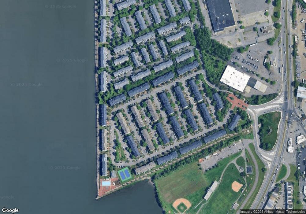
Map
Nearby Homes
- 47 Dogwood St
- 71 Cottonwood St
- 112 Cottonwood St
- 21 Cottonwood St Unit 21
- 16 Cypress St Unit 46E
- 13 Cypress St Unit 1
- 20 Redwood St
- 22 Redwood St Unit 51U
- 5 Redwood St Unit 55E
- 3 Atlas Ct Unit 1019D
- 36 Tottenham Ct Unit A2
- 19 Oakdale Rd
- 344 Danforth Ave
- 336A Danforth Ave
- 333 Danforth Ave
- 91 Terhune Ave
- 130 W Side Ave
- 18 Ferncliff Rd
- 142 W Side Ave
- 78 Terhune Ave
- 32 Walnut St Unit 13H
- 36 Walnut St
- 33 Walnut St Unit I13
- 33 Walnut St Unit 13I
- 31 Walnut St Unit 13G
- 31 Walnut St Unit 1
- 35 Walnut St Unit 13K
- 30 Walnut St Unit 13F
- 30 Walnut St Unit Dup
- 47 Dogwood St Unit 1
- 47 Dogwood St Unit 13N
- 29 Walnut St Unit 13E
- 48 Dogwood St
- 48 Dogwood St Unit 13M
- 28 Walnut St Unit 13D
- 45 Dogwood St Unit 13P
- 27 Walnut St Unit 13C
- 46 Dogwood St Unit 13O
- 26 Walnut St
- 25 Walnut St