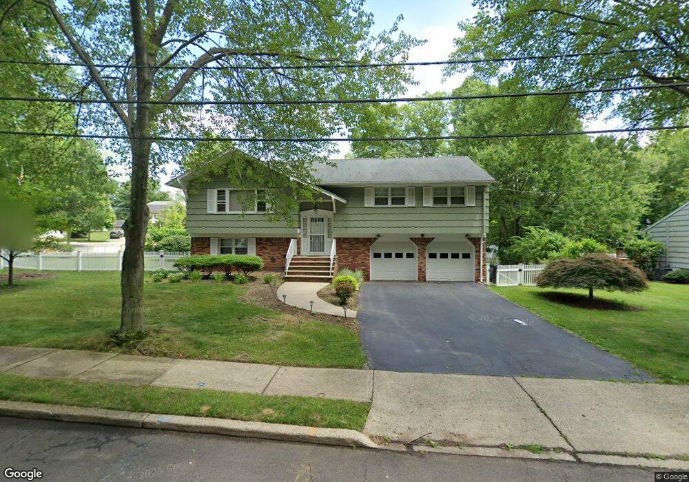
340 Briarcliff Ln Paramus, NJ 07652
Estimated Value: $952,333 - $1,152,000
Studio
--
Bath
2,250
Sq Ft
$464/Sq Ft
Est. Value
About This Home
This home is located at 340 Briarcliff Ln, Paramus, NJ 07652 and is currently estimated at $1,043,333, approximately $463 per square foot. 340 Briarcliff Ln is a home located in Bergen County with nearby schools including Paramus High School and Bergen Catholic High School.
Ownership History
Date
Name
Owned For
Owner Type
Purchase Details
Closed on
Jun 12, 2015
Sold by
Nadekow Joseph Robert and Estate Of Nadia Nadekow
Bought by
Palathinkal Don and Cherpanath Angel
Current Estimated Value
Home Financials for this Owner
Home Financials are based on the most recent Mortgage that was taken out on this home.
Original Mortgage
$431,200
Outstanding Balance
$335,045
Interest Rate
3.84%
Mortgage Type
New Conventional
Estimated Equity
$708,288
Purchase Details
Closed on
Jan 31, 2014
Sold by
Nadekow Nadia
Bought by
Nadekow Nadia
Create a Home Valuation Report for This Property
The Home Valuation Report is an in-depth analysis detailing your home's value as well as a comparison with similar homes in the area
Home Values in the Area
Average Home Value in this Area
Purchase History
| Date | Buyer | Sale Price | Title Company |
|---|---|---|---|
| Palathinkal Don | $539,000 | First American Title | |
| Nadekow Nadia | -- | -- |
Source: Public Records
Mortgage History
| Date | Status | Borrower | Loan Amount |
|---|---|---|---|
| Open | Palathinkal Don | $431,200 |
Source: Public Records
Tax History
| Year | Tax Paid | Tax Assessment Tax Assessment Total Assessment is a certain percentage of the fair market value that is determined by local assessors to be the total taxable value of land and additions on the property. | Land | Improvement |
|---|---|---|---|---|
| 2025 | $10,439 | $734,700 | $422,900 | $311,800 |
| 2024 | $10,147 | $689,500 | $392,100 | $297,400 |
| 2023 | $9,635 | $661,500 | $374,100 | $287,400 |
| 2022 | $9,635 | $620,800 | $349,700 | $271,100 |
| 2021 | $8,352 | $573,800 | $323,800 | $250,000 |
| 2020 | $9,026 | $565,900 | $318,800 | $247,100 |
| 2019 | $8,352 | $450,000 | $305,700 | $144,300 |
| 2018 | $9,273 | $505,900 | $305,700 | $200,200 |
| 2017 | $9,111 | $505,900 | $305,700 | $200,200 |
| 2016 | $8,863 | $505,900 | $305,700 | $200,200 |
| 2015 | $8,772 | $505,900 | $305,700 | $200,200 |
| 2014 | $8,696 | $505,900 | $305,700 | $200,200 |
Source: Public Records
Map
Nearby Homes
- 624 West Dr
- 319 Franklin Place
- 623 Alberta Dr
- 6 Merrimack Ct
- 492 Oaktree Rd
- 645 Cambridge Rd
- 277 Columbia Terrace
- 672 Rutgers Place
- 261 Idaho St
- 461 Arthur Terrace
- 216 E Midland Ave
- 360 Valley View Ave
- 719 Neill Ct
- 375 Burnet Place
- 676 Ridgewood Rd
- 680 Soldier Hill Rd
- 295 Georgian Dr
- 327 E Midland Ave
- 368 Elmwood Dr
- 322 E Midland Ave
Your Personal Tour Guide
Ask me questions while you tour the home.